361 St Andrews Rd Walden, NY 12586
Estimated Value: $549,000 - $660,000
3
Beds
2
Baths
1,478
Sq Ft
$402/Sq Ft
Est. Value
About This Home
This home is located at 361 St Andrews Rd, Walden, NY 12586 and is currently estimated at $594,099, approximately $401 per square foot. 361 St Andrews Rd is a home located in Orange County with nearby schools including Valley Central High School and Most Precious Blood School.
Ownership History
Date
Name
Owned For
Owner Type
Purchase Details
Closed on
Jun 26, 2000
Sold by
Fullam Donald and Bergknoff Irwin
Bought by
Ganci Robert M and Ganci Eliana
Current Estimated Value
Home Financials for this Owner
Home Financials are based on the most recent Mortgage that was taken out on this home.
Original Mortgage
$165,000
Outstanding Balance
$55,438
Interest Rate
7.37%
Mortgage Type
Purchase Money Mortgage
Estimated Equity
$538,661
Create a Home Valuation Report for This Property
The Home Valuation Report is an in-depth analysis detailing your home's value as well as a comparison with similar homes in the area
Home Values in the Area
Average Home Value in this Area
Purchase History
| Date | Buyer | Sale Price | Title Company |
|---|---|---|---|
| Ganci Robert M | $41,000 | -- |
Source: Public Records
Mortgage History
| Date | Status | Borrower | Loan Amount |
|---|---|---|---|
| Open | Ganci Robert M | $165,000 |
Source: Public Records
Tax History Compared to Growth
Tax History
| Year | Tax Paid | Tax Assessment Tax Assessment Total Assessment is a certain percentage of the fair market value that is determined by local assessors to be the total taxable value of land and additions on the property. | Land | Improvement |
|---|---|---|---|---|
| 2024 | $10,669 | $213,000 | $48,800 | $164,200 |
| 2023 | $10,669 | $213,000 | $48,800 | $164,200 |
| 2022 | $10,904 | $213,000 | $48,800 | $164,200 |
| 2021 | $10,778 | $213,000 | $48,800 | $164,200 |
| 2020 | $17,600 | $213,000 | $48,800 | $164,200 |
| 2019 | $16,575 | $213,000 | $48,800 | $164,200 |
| 2018 | $16,575 | $207,000 | $48,800 | $158,200 |
| 2017 | $9,205 | $207,000 | $48,800 | $158,200 |
| 2016 | $15,893 | $207,000 | $48,800 | $158,200 |
| 2015 | -- | $207,000 | $48,800 | $158,200 |
| 2014 | -- | $207,000 | $48,800 | $158,200 |
Source: Public Records
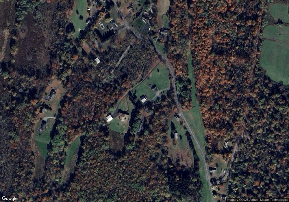
Map
Nearby Homes
- 751 State Route 52
- 112 St Andrews Rd
- 172 Orange Lake Rd
- 4 Plains Rd
- 65 Kings Hill Rd
- 230 Fawn Cir
- 0 Rock Cut Rd Unit KEY877531
- 15 Rose Estates
- 6 Berea Rd
- 54 Berea Rd
- TBD Smith Ave
- 18 Cooks Ln
- 25 Kings Dr
- 163 Berea Rd
- 143 Plains Rd
- 15 Kings Dr
- 155 Rock Cut Rd
- TBD Saint Michaels Ln
- 2125 State Route 300
- 54 Borden Rd
- 362 St Andrews Rd
- 371 St Andrews Rd Unit 2
- 365 St Andrews Rd
- 343 St Andrews Rd
- 344 St Andrews Rd
- 0 St Andrews Rd Unit 4729218
- 336 St Andrews Rd
- 333 St Andrews Rd
- 331 St Andrews Rd
- 328 St Andrews Rd
- 322 St Andrews Rd
- 390 St Andrews Rd
- 339 St Andrews Rd
- 321 St Andrews Rd
- 0 Saint Andrews Rd
- 341 St Andrews Rd
- 396 St Andrews Rd
- 2 Swangunk Rd
- 318 St Andrews Rd
- 402 St Andrews Rd