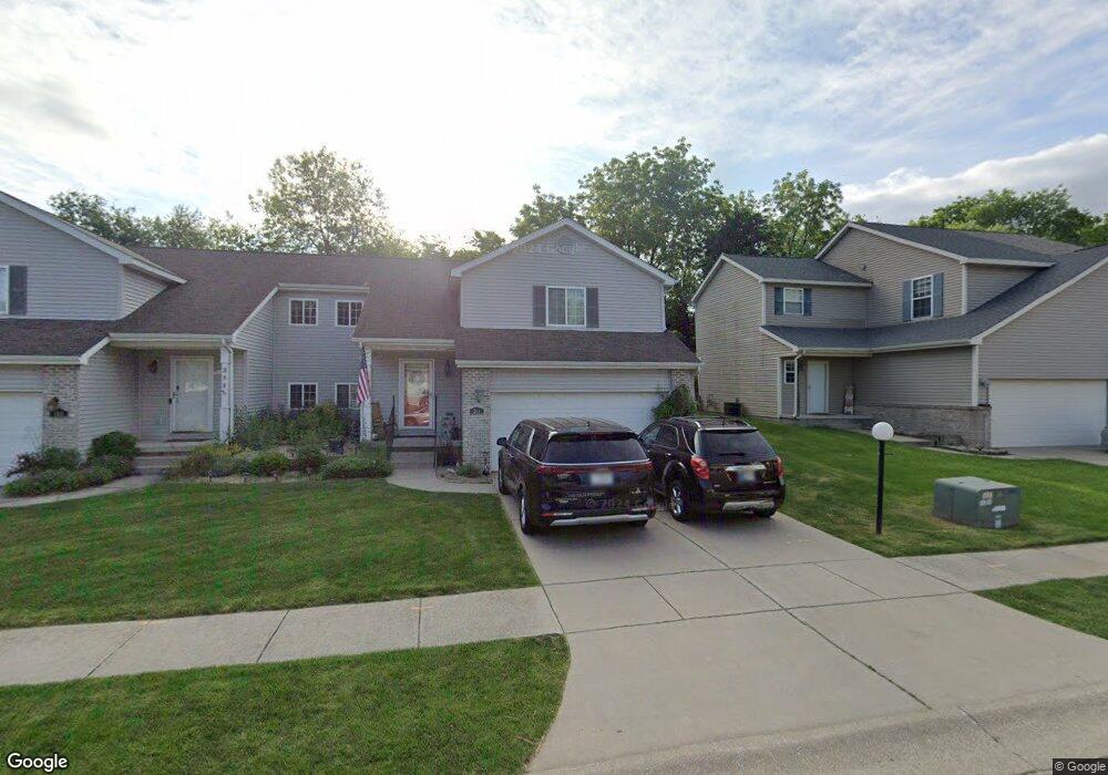
361 Taylor Ln Valparaiso, IN 46383
Estimated Value: $257,000 - $322,000
4
Beds
2
Baths
1,772
Sq Ft
$163/Sq Ft
Est. Value
About This Home
This home is located at 361 Taylor Ln, Valparaiso, IN 46383 and is currently estimated at $288,394, approximately $162 per square foot. 361 Taylor Ln is a home located in Porter County with nearby schools including Parkview Elementary School, Thomas Jefferson Middle School, and Valparaiso High School.
Ownership History
Date
Name
Owned For
Owner Type
Purchase Details
Closed on
Aug 31, 2006
Sold by
Generation Rentals Northwest Indiana Llc
Bought by
Hendle John E and Hendle Terri A
Current Estimated Value
Home Financials for this Owner
Home Financials are based on the most recent Mortgage that was taken out on this home.
Original Mortgage
$144,900
Outstanding Balance
$86,638
Interest Rate
6.59%
Mortgage Type
Purchase Money Mortgage
Estimated Equity
$201,756
Create a Home Valuation Report for This Property
The Home Valuation Report is an in-depth analysis detailing your home's value as well as a comparison with similar homes in the area
Home Values in the Area
Average Home Value in this Area
Purchase History
| Date | Buyer | Sale Price | Title Company |
|---|---|---|---|
| Hendle John E | -- | Chicago Title Insurance Co |
Source: Public Records
Mortgage History
| Date | Status | Borrower | Loan Amount |
|---|---|---|---|
| Open | Hendle John E | $144,900 |
Source: Public Records
Tax History Compared to Growth
Tax History
| Year | Tax Paid | Tax Assessment Tax Assessment Total Assessment is a certain percentage of the fair market value that is determined by local assessors to be the total taxable value of land and additions on the property. | Land | Improvement |
|---|---|---|---|---|
| 2024 | $2,639 | $243,100 | $40,300 | $202,800 |
| 2023 | $2,570 | $231,200 | $37,700 | $193,500 |
| 2022 | $2,550 | $211,400 | $37,700 | $173,700 |
| 2021 | $2,576 | $201,300 | $37,700 | $163,600 |
| 2020 | $2,331 | $181,500 | $34,200 | $147,300 |
| 2019 | $2,193 | $169,800 | $34,200 | $135,600 |
| 2018 | $2,078 | $163,800 | $34,200 | $129,600 |
| 2017 | $2,003 | $162,500 | $34,200 | $128,300 |
| 2016 | $1,968 | $165,300 | $35,400 | $129,900 |
| 2014 | $1,657 | $163,700 | $33,400 | $130,300 |
| 2013 | -- | $153,800 | $33,200 | $120,600 |
Source: Public Records
Map
Nearby Homes
- 206 Parkwood Dr
- 0 Silhavy Rd
- 1705 Firestone Ln
- 1709 Firestone Ln
- 1707 Firestone Ln
- 1703 Firestone Ln
- 1701 Firestone Ln
- 1613 Firestone Ln
- 402 Sturdy Rd Unit 2C
- 406 Sturdy Rd Unit A-12
- 406 Sturdy Rd Unit 2A
- 1201 Lincolnway
- 857 S Cedar Ln
- 1068 Linwood Ave
- 1802 Evans Ave
- 4409 Evans Ave
- 2706 Baldwin Ct
- 3905 Colonial Dr
- 2411 Jonathan Dr
- 1716 Whittier Park Dr