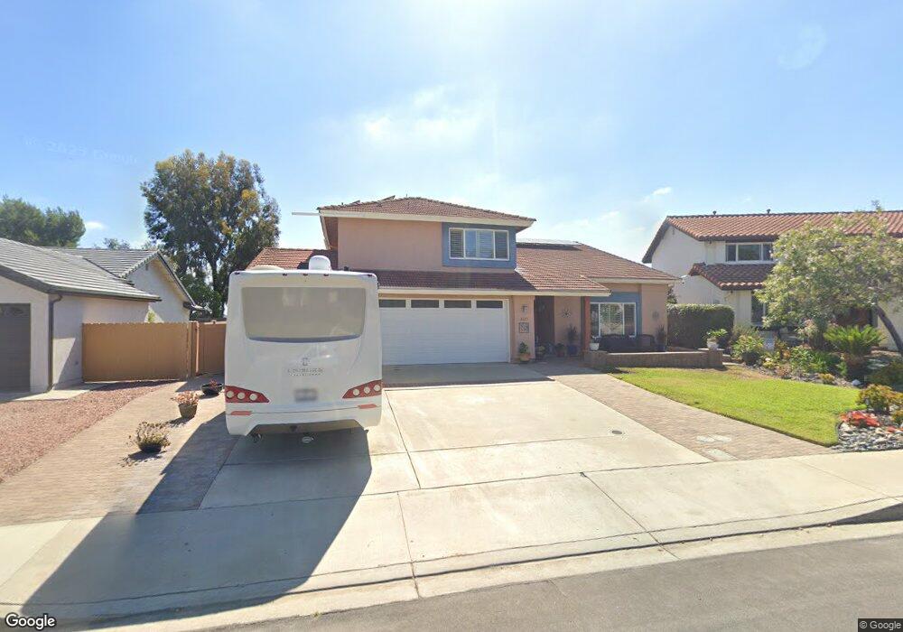
3611 Laredo St Carlsbad, CA 92010
Tamarack Point NeighborhoodEstimated Value: $1,428,720 - $1,539,000
4
Beds
3
Baths
2,203
Sq Ft
$681/Sq Ft
Est. Value
About This Home
This home is located at 3611 Laredo St, Carlsbad, CA 92010 and is currently estimated at $1,500,180, approximately $680 per square foot. 3611 Laredo St is a home located in San Diego County with nearby schools including Hope Elementary School, Calavera Hills Middle, and Carlsbad High School.
Ownership History
Date
Name
Owned For
Owner Type
Purchase Details
Closed on
Apr 19, 2005
Sold by
Brown Martin J and Brown Marybeth W
Bought by
Brown Martin J and Brown Marybeth W
Current Estimated Value
Purchase Details
Closed on
May 29, 1986
Purchase Details
Closed on
Dec 28, 1983
Create a Home Valuation Report for This Property
The Home Valuation Report is an in-depth analysis detailing your home's value as well as a comparison with similar homes in the area
Home Values in the Area
Average Home Value in this Area
Purchase History
| Date | Buyer | Sale Price | Title Company |
|---|---|---|---|
| Brown Martin J | -- | -- | |
| -- | $184,500 | -- | |
| -- | $150,900 | -- |
Source: Public Records
Tax History Compared to Growth
Tax History
| Year | Tax Paid | Tax Assessment Tax Assessment Total Assessment is a certain percentage of the fair market value that is determined by local assessors to be the total taxable value of land and additions on the property. | Land | Improvement |
|---|---|---|---|---|
| 2025 | $3,821 | $367,379 | $96,449 | $270,930 |
| 2024 | $3,821 | $360,176 | $94,558 | $265,618 |
| 2023 | $3,800 | $353,114 | $92,704 | $260,410 |
| 2022 | $3,740 | $346,191 | $90,887 | $255,304 |
| 2021 | $3,711 | $339,404 | $89,105 | $250,299 |
| 2020 | $3,685 | $335,925 | $88,192 | $247,733 |
| 2019 | $3,618 | $329,339 | $86,463 | $242,876 |
| 2018 | $3,465 | $322,882 | $84,768 | $238,114 |
| 2017 | $3,406 | $316,552 | $83,106 | $233,446 |
| 2016 | $3,268 | $310,346 | $81,477 | $228,869 |
| 2015 | $3,254 | $305,686 | $80,254 | $225,432 |
| 2014 | $3,200 | $299,699 | $78,682 | $221,017 |
Source: Public Records
Map
Nearby Homes
- 3485 Corvallis St
- 4350 Point Reyes Ct
- 2722 Olympia Dr
- 4375 Stanford St
- 2880 Englewood Way
- 4459 Dorchester Place
- 4439 Salisbury Dr
- 3019 Glenbrook St
- 2935 Cliff Cir Unit 33
- 3072 Marron Rd
- 4583 Chancery Ct
- 3304 Telaga Rd
- 4405 Sierra Morena Ave
- 2754 Inverness Dr
- 2591 Regent Rd Unit 52
- 3626 Harwich Dr
- 3442 Celinda Dr
- 4427 Trieste Dr
- 3920 Holly Brae Ln
- 4590 Salem Place
- 3613 Laredo St
- 3609 Laredo St
- 3615 Laredo St
- 3612 Pontiac Dr
- 3614 Pontiac Dr
- 3607 Laredo St
- 3610 Pontiac Dr
- 3616 Pontiac Dr
- 3610 Laredo St
- 3608 Pontiac Dr
- 3608 Laredo St
- 3612 Laredo St
- 3617 Laredo St
- 3605 Laredo St
- 3618 Pontiac Dr
- 3614 Laredo St
- 3606 Laredo St
- 3620 Pontiac Dr
- 3619 Laredo St
- 3603 Laredo St