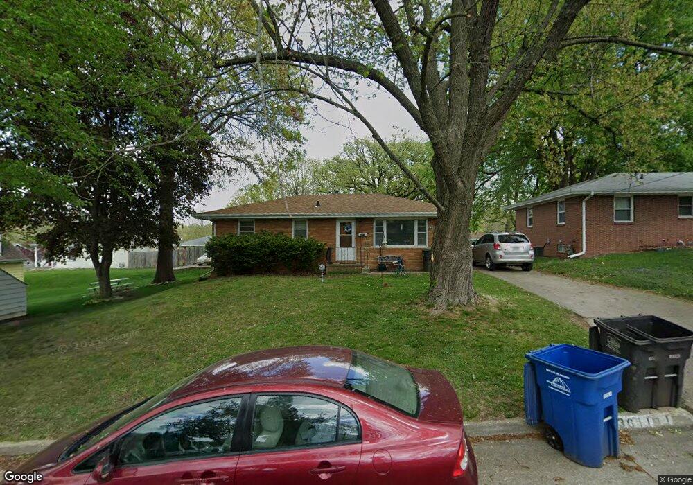
3611 SW 4th St Des Moines, IA 50315
Watrous Heights NeighborhoodEstimated Value: $190,000 - $200,000
3
Beds
1
Bath
1,025
Sq Ft
$191/Sq Ft
Est. Value
About This Home
This home is located at 3611 SW 4th St, Des Moines, IA 50315 and is currently estimated at $196,089, approximately $191 per square foot. 3611 SW 4th St is a home located in Polk County with nearby schools including South Union Elementary School, Brody Middle School, and Lincoln High School.
Ownership History
Date
Name
Owned For
Owner Type
Purchase Details
Closed on
Jul 20, 2007
Sold by
Dunston Pamela and Dunston Raleigh Michael
Bought by
Stamper Christin
Current Estimated Value
Home Financials for this Owner
Home Financials are based on the most recent Mortgage that was taken out on this home.
Original Mortgage
$71,175
Outstanding Balance
$45,087
Interest Rate
6.76%
Mortgage Type
Purchase Money Mortgage
Estimated Equity
$151,002
Create a Home Valuation Report for This Property
The Home Valuation Report is an in-depth analysis detailing your home's value as well as a comparison with similar homes in the area
Home Values in the Area
Average Home Value in this Area
Purchase History
| Date | Buyer | Sale Price | Title Company |
|---|---|---|---|
| Stamper Christin | -- | None Available | |
| Stamper Christin | -- | None Available | |
| Stamper Christin | $94,500 | None Available |
Source: Public Records
Mortgage History
| Date | Status | Borrower | Loan Amount |
|---|---|---|---|
| Open | Stamper Christin | $71,175 |
Source: Public Records
Tax History Compared to Growth
Tax History
| Year | Tax Paid | Tax Assessment Tax Assessment Total Assessment is a certain percentage of the fair market value that is determined by local assessors to be the total taxable value of land and additions on the property. | Land | Improvement |
|---|---|---|---|---|
| 2025 | $3,530 | $212,000 | $35,800 | $176,200 |
| 2024 | $3,530 | $189,900 | $31,500 | $158,400 |
| 2023 | $3,362 | $189,900 | $31,500 | $158,400 |
| 2022 | $3,334 | $151,500 | $25,900 | $125,600 |
| 2021 | $3,156 | $151,500 | $25,900 | $125,600 |
| 2020 | $3,274 | $135,100 | $23,000 | $112,100 |
| 2019 | $3,004 | $135,100 | $23,000 | $112,100 |
| 2018 | $2,968 | $120,300 | $20,000 | $100,300 |
| 2017 | $2,740 | $120,300 | $20,000 | $100,300 |
| 2016 | $2,664 | $109,800 | $18,100 | $91,700 |
| 2015 | $2,664 | $109,800 | $18,100 | $91,700 |
| 2014 | $2,588 | $106,100 | $17,100 | $89,000 |
Source: Public Records
Map
Nearby Homes
- 3634 SW 4th St
- 410 Thornton Ave
- 3503 SW 2nd St
- 300 Hughes Ave
- 3224 SW 2nd St
- 3314 S Union St
- 3605 SW 9th St
- 3308 SW 7th St
- 3903 SW 9th St
- 3618 SW 9th St
- 606 Marion St
- 915 Wolcott Ave
- 117 E Rose Ave
- 117 E Watrous Ave
- 4204 SW 7th St
- 200 E Hughes Cir
- 119 E Park Ave
- 206 E Hughes Cir
- 217 E Park Ave
- 220 Virginia Ave
- 3617 SW 4th St
- 312 Thornton Ave
- 316 Thornton Ave
- 3619 SW 4th St
- 3618 SW 3rd St
- 308 Thornton Ave
- 3620 SW 3rd St
- 404 Thornton Ave
- 3610 SW 4th St
- 3701 SW 4th St
- 3622 SW 3rd St
- 3606 SW 3rd St
- 3638 SW 4th St
- 3624 SW 3rd St
- 325 Thornton Ave
- 323 Thornton Ave
- 331 Thornton Ave
- 3709 SW 4th St
- 3700 SW 4th St
- 307 Thornton Ave