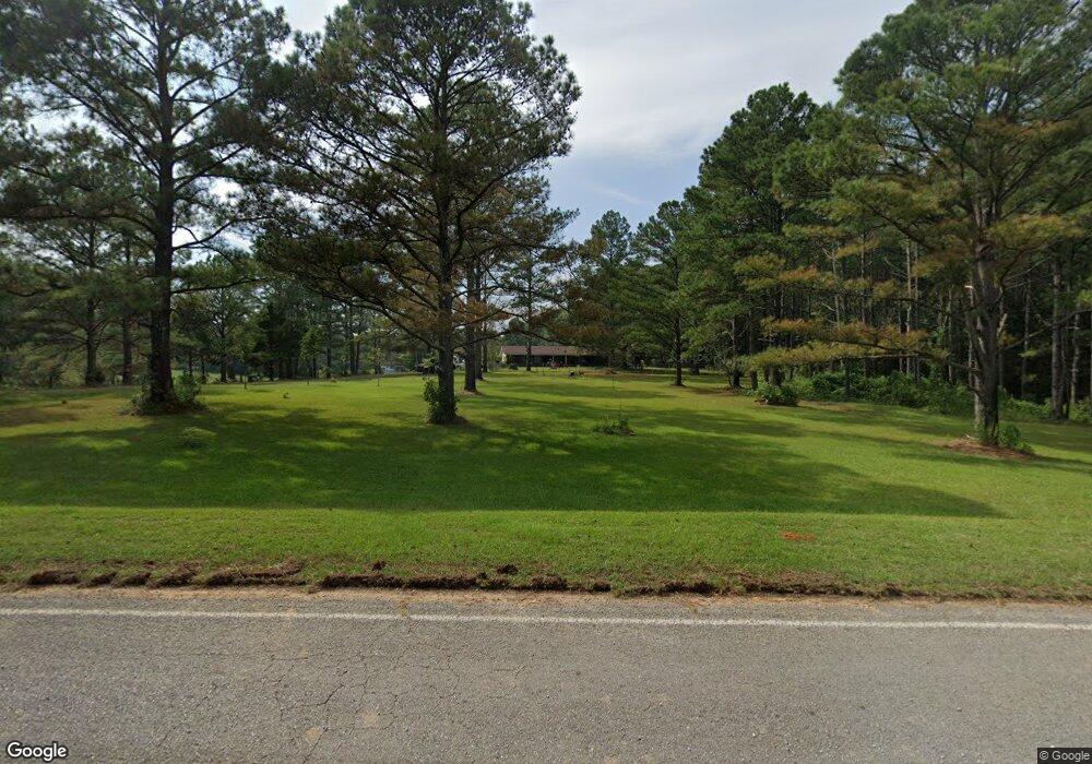
Estimated Value: $155,000 - $356,000
3
Beds
--
Bath
2,059
Sq Ft
$114/Sq Ft
Est. Value
About This Home
This home is located at 3611 Weir Salem Rd, Weir, MS 39772 and is currently estimated at $233,790, approximately $113 per square foot. 3611 Weir Salem Rd is a home with nearby schools including Weir Elementary School.
Ownership History
Date
Name
Owned For
Owner Type
Purchase Details
Closed on
Apr 11, 2017
Sold by
Ocwen Loan Servicing Llc
Bought by
Hill Ronald Lee
Current Estimated Value
Home Financials for this Owner
Home Financials are based on the most recent Mortgage that was taken out on this home.
Original Mortgage
$72,000
Outstanding Balance
$37,241
Interest Rate
4.23%
Mortgage Type
FHA
Estimated Equity
$196,549
Purchase Details
Closed on
Jan 4, 2017
Sold by
Jaurique & Lindsey Llc
Bought by
Will Fargo Bank National Association
Create a Home Valuation Report for This Property
The Home Valuation Report is an in-depth analysis detailing your home's value as well as a comparison with similar homes in the area
Home Values in the Area
Average Home Value in this Area
Purchase History
| Date | Buyer | Sale Price | Title Company |
|---|---|---|---|
| Hill Ronald Lee | $101,664 | -- | |
| Will Fargo Bank National Association | -- | None Available |
Source: Public Records
Mortgage History
| Date | Status | Borrower | Loan Amount |
|---|---|---|---|
| Open | Hill Ronald Lee | $72,000 |
Source: Public Records
Tax History Compared to Growth
Tax History
| Year | Tax Paid | Tax Assessment Tax Assessment Total Assessment is a certain percentage of the fair market value that is determined by local assessors to be the total taxable value of land and additions on the property. | Land | Improvement |
|---|---|---|---|---|
| 2024 | $883 | $13,976 | $991 | $12,985 |
| 2023 | $831 | $13,988 | $1,003 | $12,985 |
| 2022 | $946 | $15,403 | $1,029 | $14,374 |
| 2021 | $946 | $15,403 | $1,029 | $14,374 |
| 2020 | $896 | $14,787 | $1,060 | $13,727 |
| 2019 | $896 | $14,787 | $1,060 | $13,727 |
| 2018 | $399 | $8,634 | $1,068 | $7,566 |
| 2017 | $398 | $8,627 | $1,062 | $7,565 |
| 2016 | -- | $8,107 | $970 | $7,137 |
| 2015 | -- | $8,087 | $950 | $7,137 |
| 2013 | -- | $8,060 | $923 | $7,137 |
Source: Public Records
Map
Nearby Homes
- 0 S Union Rd
- 2904 Pisgah Rd
- 0 Stewart Weir Rd
- 0 0 Unit 22179615
- 36575 Mississippi 12
- 0 Mississippi 15
- 45 E Church St
- 235 N Commerce St
- 0 State Highway 790
- 1 Highway 790
- 0 Watson Bankston Rd
- Weir Highpoint Rd
- Hwy 15
- 0 Weir-Highpoint Rd
- 1699 Mcknight Rd
- 19450 Attala Rd 3122
- 479 Mcminn Rd
- 0 Rockport Rd
- 0 Pearson Rd
- Marshall Rd
- 3734 Weir Salem Rd
- 3333 Weir Salem Rd
- 3372 Weir Salem Rd
- 3933 Weir Salem Rd
- 9275 Whites Rd
- 3760 Weir Salem Rd
- 9499 Whites Rd
- 4230 Weir Salem Rd
- 9520 Whites Rd
- 8900 Whites Rd
- 160 Seward Rd
- 8800 Whites Rd
- 8779 Whites Rd
- 9340 Whites Rd
- 116 Seward Rd
- 380 South Union Rd
- 37 Seward Rd
- 8686 Whites Rd
- 2385 Weir Salem Rd
- 55 Whites Loop
