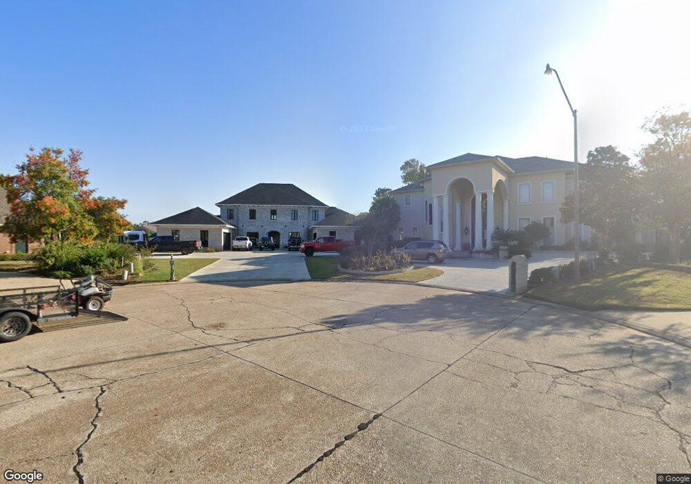
3612 Cole Landing Dr Monroe, LA 71201
North Monroe NeighborhoodEstimated Value: $553,000 - $1,491,721
1
Bed
1
Bath
1,875
Sq Ft
$535/Sq Ft
Est. Value
About This Home
This home is located at 3612 Cole Landing Dr, Monroe, LA 71201 and is currently estimated at $1,002,240, approximately $534 per square foot. 3612 Cole Landing Dr is a home located in Ouachita Parish with nearby schools including Lexington Elementary School, Sallie Humble Elementary School, and Neville Junior High School.
Ownership History
Date
Name
Owned For
Owner Type
Purchase Details
Closed on
May 27, 2020
Sold by
Davis John A and Davis Kristi T
Bought by
Martin Bobby J and Martin Vargas
Current Estimated Value
Home Financials for this Owner
Home Financials are based on the most recent Mortgage that was taken out on this home.
Original Mortgage
$1
Outstanding Balance
$1
Interest Rate
3.3%
Mortgage Type
Purchase Money Mortgage
Create a Home Valuation Report for This Property
The Home Valuation Report is an in-depth analysis detailing your home's value as well as a comparison with similar homes in the area
Home Values in the Area
Average Home Value in this Area
Purchase History
| Date | Buyer | Sale Price | Title Company |
|---|---|---|---|
| Martin Bobby J | $500,000 | None Available |
Source: Public Records
Mortgage History
| Date | Status | Borrower | Loan Amount |
|---|---|---|---|
| Open | Martin Bobby J | $1 |
Source: Public Records
Tax History Compared to Growth
Tax History
| Year | Tax Paid | Tax Assessment Tax Assessment Total Assessment is a certain percentage of the fair market value that is determined by local assessors to be the total taxable value of land and additions on the property. | Land | Improvement |
|---|---|---|---|---|
| 2024 | $13,521 | $128,069 | $25,592 | $102,477 |
| 2023 | $13,521 | $25,949 | $25,592 | $357 |
| 2022 | $2,745 | $25,949 | $25,592 | $357 |
| 2021 | $2,739 | $25,949 | $25,592 | $357 |
| 2020 | $2,739 | $25,949 | $25,592 | $357 |
| 2019 | $3,584 | $34,168 | $33,811 | $357 |
| 2018 | $3,589 | $33,811 | $33,811 | $0 |
| 2017 | $3,782 | $34,168 | $33,811 | $357 |
| 2016 | $3,781 | $46,500 | $24,176 | $22,324 |
| 2015 | $5,131 | $46,500 | $24,176 | $22,324 |
| 2014 | $5,131 | $46,500 | $24,176 | $22,324 |
| 2013 | $5,117 | $24,176 | $24,176 | $0 |
Source: Public Records
Map
Nearby Homes
- 3712 Bayside Cir
- 3408 W Deborah Dr
- 2785 Point Dr
- 3700 Pegram Cir
- 3609 Tilford Cir
- 3201 Stowers Dr
- 2743 Point Dr
- 3115 Deborah Dr
- 2710 Point Dr
- 3364 Deborah Dr
- 3111 River Oaks Dr
- 2701 Point Dr
- 205 Loop Rd
- 2913 Cuba Blvd
- 420 Howard St
- 2912 River Oaks Dr
- 3400 Deborah Dr
- 3316 Devereux Place
- 3607 Kates Way
- 510 Spencer Ln
- 3617 Cole Landing Dr
- 3606 Cole Landing Dr
- 3700 Bayside Cir
- 3701 Bayside Cir
- 3611 Cole Landing Dr
- 3404 W Deborah Dr
- 3600 Cole Landing Dr
- 3705 Bayside Cir
- 3312 W Deborah Dr
- 3208 Deborah Dr
- 3204 Deborah Dr
- 3709 Bayside Cir
- 3212 Deborah Dr
- 3714 Bayside Cir
- 3308 W Deborah Dr
- 3405 W Deborah Dr
- 3401 W Deborah Dr
- 3514 Lake Desiard Dr
- 3713 Bayside Cir
- 3409 W Deborah Dr