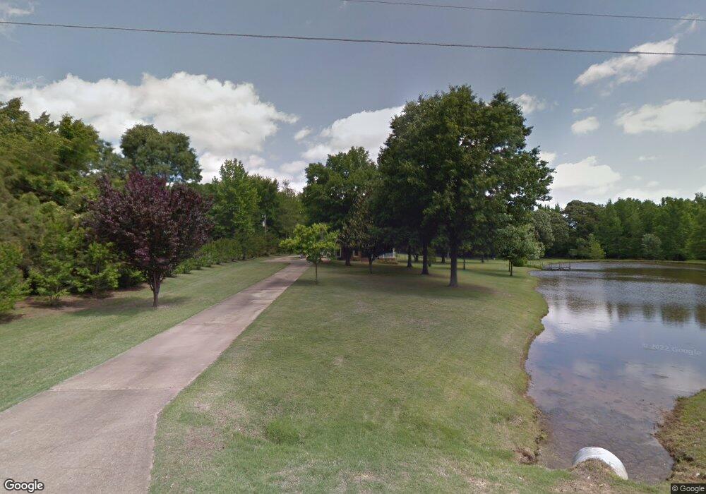
3612 Liscott Rd Southaven, MS 38672
Pleasant Hill NeighborhoodEstimated Value: $358,000 - $448,000
4
Beds
--
Bath
3,402
Sq Ft
$124/Sq Ft
Est. Value
About This Home
This home is located at 3612 Liscott Rd, Southaven, MS 38672 and is currently estimated at $420,365, approximately $123 per square foot. 3612 Liscott Rd is a home located in DeSoto County with nearby schools including DeSoto Central Elementary School, DeSoto Central Primary School, and DeSoto Central Middle School.
Ownership History
Date
Name
Owned For
Owner Type
Purchase Details
Closed on
Aug 31, 2011
Sold by
Us Bank Trust National Association
Bought by
Dowell Kevin
Current Estimated Value
Home Financials for this Owner
Home Financials are based on the most recent Mortgage that was taken out on this home.
Original Mortgage
$69,700
Interest Rate
4.55%
Mortgage Type
Purchase Money Mortgage
Create a Home Valuation Report for This Property
The Home Valuation Report is an in-depth analysis detailing your home's value as well as a comparison with similar homes in the area
Home Values in the Area
Average Home Value in this Area
Purchase History
| Date | Buyer | Sale Price | Title Company |
|---|---|---|---|
| Dowell Kevin | -- | None Available |
Source: Public Records
Mortgage History
| Date | Status | Borrower | Loan Amount |
|---|---|---|---|
| Closed | Dowell Kevin | $69,700 |
Source: Public Records
Tax History Compared to Growth
Tax History
| Year | Tax Paid | Tax Assessment Tax Assessment Total Assessment is a certain percentage of the fair market value that is determined by local assessors to be the total taxable value of land and additions on the property. | Land | Improvement |
|---|---|---|---|---|
| 2024 | $2,011 | $21,392 | $3,500 | $17,892 |
| 2023 | $2,011 | $21,392 | $0 | $0 |
| 2022 | $1,969 | $21,392 | $3,500 | $17,892 |
| 2021 | $1,969 | $21,392 | $3,500 | $17,892 |
| 2020 | $1,969 | $21,392 | $3,500 | $17,892 |
| 2019 | $1,969 | $21,392 | $3,500 | $17,892 |
| 2017 | $1,872 | $37,792 | $20,646 | $17,146 |
| 2016 | $1,450 | $17,681 | $3,500 | $14,181 |
| 2015 | $2,518 | $31,862 | $17,681 | $14,181 |
| 2014 | $2,218 | $17,681 | $0 | $0 |
| 2013 | $2,218 | $17,681 | $0 | $0 |
Source: Public Records
Map
Nearby Homes
- 3545 Bailey Ln
- 4055 Oakland Dr
- 5903 Shiloh Ln
- 3302 Foxdale Loop
- 3281 Foxdale Loop
- 5921 Foxdale Loop S
- 3228 Foxdale Loop
- 5891 Foxdale Loop S
- 5906 Foxdale Loop W
- 5943 Savannah Crossing
- 3568 Roman Forest Dr
- 4130 Aberleigh Ln
- 0 Getwell Rd Unit 4107784
- 6640 Montclair Ave
- 2892 Market Square Ave
- 7205 Whitten Place Cove
- 3166 Central Pkwy
- 6550 Nellwood Dr
- 5565 Savannah Pkwy
- 4601 Bobo Place
- 3665 Liscott Rd
- 3587 Liscott Rd
- 3559 Liscott Rd
- 3600 Liscott Rd
- 1 Pine Tar Alley St
- 3579 Liscott Rd
- 3663 Liscott Rd
- 3730 Liscott Rd
- 3731 Liscott Rd
- 3776 Liscott Rd
- 3586 Banks Rd E
- 3586 Banks Dr
- 3572 Banks Dr
- 0 Liscott Rd
- 3612 Banks Dr
- 3634 Banks Dr
- 3822 Liscott Rd
- 3714 Banks Dr
- 3775 Liscott Rd
- 3728 Nail Rd
