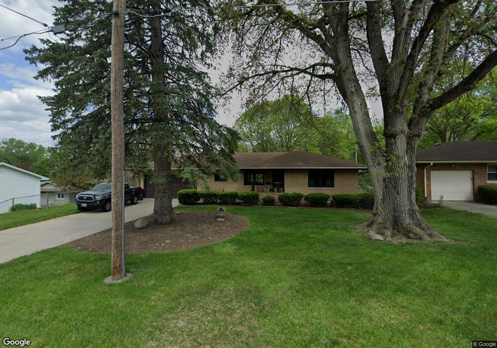
3613 SW 6th St Des Moines, IA 50315
Watrous Heights NeighborhoodEstimated Value: $230,000 - $301,000
2
Beds
2
Baths
1,195
Sq Ft
$214/Sq Ft
Est. Value
About This Home
This home is located at 3613 SW 6th St, Des Moines, IA 50315 and is currently estimated at $255,280, approximately $213 per square foot. 3613 SW 6th St is a home located in Polk County with nearby schools including Park Avenue Elementary School, Brody Middle School, and Lincoln High School.
Ownership History
Date
Name
Owned For
Owner Type
Purchase Details
Closed on
Sep 24, 2019
Sold by
Dodge Lawrence W and Dodge Ranae M
Bought by
Brown Diana Maye and Brown Kevin Merle
Current Estimated Value
Home Financials for this Owner
Home Financials are based on the most recent Mortgage that was taken out on this home.
Original Mortgage
$183,350
Outstanding Balance
$160,269
Interest Rate
3.5%
Mortgage Type
New Conventional
Estimated Equity
$95,011
Purchase Details
Closed on
Nov 6, 2005
Sold by
Wadsworth Jeanette M
Bought by
Wadsworth Jeanette M and Dodge Lawrence W
Create a Home Valuation Report for This Property
The Home Valuation Report is an in-depth analysis detailing your home's value as well as a comparison with similar homes in the area
Home Values in the Area
Average Home Value in this Area
Purchase History
| Date | Buyer | Sale Price | Title Company |
|---|---|---|---|
| Brown Diana Maye | $193,000 | None Available | |
| Wadsworth Jeanette M | -- | -- |
Source: Public Records
Mortgage History
| Date | Status | Borrower | Loan Amount |
|---|---|---|---|
| Open | Brown Diana Maye | $183,350 |
Source: Public Records
Tax History Compared to Growth
Tax History
| Year | Tax Paid | Tax Assessment Tax Assessment Total Assessment is a certain percentage of the fair market value that is determined by local assessors to be the total taxable value of land and additions on the property. | Land | Improvement |
|---|---|---|---|---|
| 2025 | $4,680 | $287,500 | $39,700 | $247,800 |
| 2024 | $4,680 | $257,000 | $35,000 | $222,000 |
| 2023 | $4,452 | $257,000 | $35,000 | $222,000 |
| 2022 | $4,416 | $201,200 | $28,800 | $172,400 |
| 2021 | $4,198 | $201,200 | $28,800 | $172,400 |
| 2020 | $4,354 | $180,100 | $25,600 | $154,500 |
| 2019 | $3,986 | $180,100 | $25,600 | $154,500 |
| 2018 | $3,938 | $160,100 | $22,300 | $137,800 |
| 2017 | $3,680 | $160,100 | $22,300 | $137,800 |
| 2016 | $3,578 | $147,800 | $20,100 | $127,700 |
| 2015 | $3,578 | $147,800 | $20,100 | $127,700 |
| 2014 | $3,242 | $138,900 | $18,600 | $120,300 |
Source: Public Records
Map
Nearby Homes
- 410 Thornton Ave
- 3634 SW 4th St
- 3605 SW 9th St
- 3503 SW 2nd St
- 3618 SW 9th St
- 3903 SW 9th St
- 3308 SW 7th St
- 300 Hughes Ave
- 915 Wolcott Ave
- 606 Marion St
- 3224 SW 2nd St
- 3314 S Union St
- 4204 SW 7th St
- 117 E Rose Ave
- 117 E Watrous Ave
- 3514 SW 12th St
- 3824 SW 12th St
- 220 Virginia Ave
- 3808 SW 12th St
- 119 E Park Ave
- 3619 SW 6th St
- 516 Thornton Ave
- 510 Thornton Ave
- 506 Thornton Ave
- 3703 SW 6th St
- 600 Thornton Ave
- 500 Thornton Ave
- 3620 SW 6th St
- 3624 SW 6th St
- 3700 SW 6th St
- 3709 SW 6th St
- 604 Thornton Ave
- 3704 SW 6th St
- 3610 SW 4th St
- 608 Thornton Ave
- 3710 SW 6th St
- 501 Thornton Ave
- 3638 SW 4th St
- 519 Thornton Ave
- 509 Thornton Ave