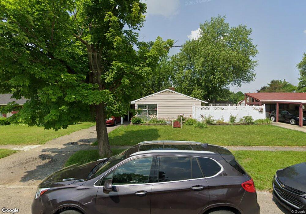
3614 Briarwood Dr Flint, MI 48507
South Side NeighborhoodEstimated Value: $89,000 - $119,000
3
Beds
2
Baths
1,135
Sq Ft
$92/Sq Ft
Est. Value
About This Home
This home is located at 3614 Briarwood Dr, Flint, MI 48507 and is currently estimated at $104,610, approximately $92 per square foot. 3614 Briarwood Dr is a home located in Genesee County with nearby schools including Neithercut Elementary School, Flint Southwestern Classical Academy, and International Academy of Flint (K-12).
Ownership History
Date
Name
Owned For
Owner Type
Purchase Details
Closed on
Jul 17, 2025
Sold by
Black-Slouffman Ariel D
Bought by
Black-Slouffman Ariel D and Slouffman Edward V
Current Estimated Value
Home Financials for this Owner
Home Financials are based on the most recent Mortgage that was taken out on this home.
Original Mortgage
$35,000
Outstanding Balance
$34,908
Interest Rate
6.67%
Mortgage Type
Credit Line Revolving
Estimated Equity
$69,702
Purchase Details
Closed on
Feb 5, 2013
Sold by
Genesee County Land Bank Authority
Bought by
Black Ariel
Purchase Details
Closed on
Mar 9, 2011
Sold by
The Genesee County Land Bank Authority
Bought by
Black Ariel
Purchase Details
Closed on
Dec 22, 2010
Sold by
Genesee County Treasurer
Bought by
Genesee County Land Bank
Purchase Details
Closed on
Jan 15, 2010
Sold by
Archer Scott
Bought by
Roche Crystal
Create a Home Valuation Report for This Property
The Home Valuation Report is an in-depth analysis detailing your home's value as well as a comparison with similar homes in the area
Home Values in the Area
Average Home Value in this Area
Purchase History
| Date | Buyer | Sale Price | Title Company |
|---|---|---|---|
| Black-Slouffman Ariel D | -- | Independent Title | |
| Black Ariel | $11,000 | None Available | |
| Black Ariel | $11,000 | None Available | |
| Genesee County Land Bank | -- | None Available | |
| Roche Crystal | -- | Cislo Title Company |
Source: Public Records
Mortgage History
| Date | Status | Borrower | Loan Amount |
|---|---|---|---|
| Open | Black-Slouffman Ariel D | $35,000 | |
| Closed | Black Ariel | $0 |
Source: Public Records
Tax History Compared to Growth
Tax History
| Year | Tax Paid | Tax Assessment Tax Assessment Total Assessment is a certain percentage of the fair market value that is determined by local assessors to be the total taxable value of land and additions on the property. | Land | Improvement |
|---|---|---|---|---|
| 2025 | $1,330 | $41,400 | $0 | $0 |
| 2024 | $1,193 | $37,600 | $0 | $0 |
| 2023 | $1,165 | $32,300 | $0 | $0 |
| 2022 | $0 | $27,200 | $0 | $0 |
| 2021 | $1,219 | $20,800 | $0 | $0 |
| 2020 | $1,087 | $19,500 | $0 | $0 |
| 2019 | $1,052 | $17,900 | $0 | $0 |
| 2018 | $1,077 | $17,000 | $0 | $0 |
| 2017 | $1,045 | $0 | $0 | $0 |
| 2016 | $1,037 | $0 | $0 | $0 |
| 2015 | -- | $0 | $0 | $0 |
| 2014 | -- | $0 | $0 | $0 |
| 2012 | -- | $19,900 | $0 | $0 |
Source: Public Records
Map
Nearby Homes
- 1741 Carmanbrook Pkwy
- 1814 Carmanbrook Pkwy
- 1523 Waldman Ave
- 1727 Briarwood Dr
- 1902 Crestbrook Ln
- 1410 Berrywood Ln
- 2107 Stoney Brook Ct
- 4101 Greenbrook Ln
- 1418 Blueberry Ln
- 1225 Waldman Ave
- 1225 Vermilya Ave
- 1209 Lincoln Ave
- 1826 Greenbrook Ln
- 1228 Leland St
- 1818 Rockcreek Ln
- 1130 W Atherton Rd
- 1212 Crawford St
- 1310 Huron St
- 1905 Greenbriar Ln
- 1902 Rockcreek Ln
- 3608 Briarwood Dr
- 3624 Briarwood Dr
- 1730 Carmanbrook Pkwy
- 1710 Carmanbrook Pkwy
- 1736 Camanbrook Pkwy
- 1736 Carmanbrook Pkwy
- 3514 Briarwood Dr
- 3602 Briarwood Dr
- 1740 Carmanbrook Pkwy
- 3613 Briarwood Dr
- 3619 Briarwood Dr
- 3607 Briarwood Dr
- 3625 Briarwood Dr
- 3601 Briarwood Dr
- 1701 Carmanbrook Pkwy
- 3701 Briarwood Dr
- 1744 Carmanbrook Pkwy
- 3513 Briarwood Dr
- 1709 Carmanbrook Pkwy
- 3707 Briarwood Dr