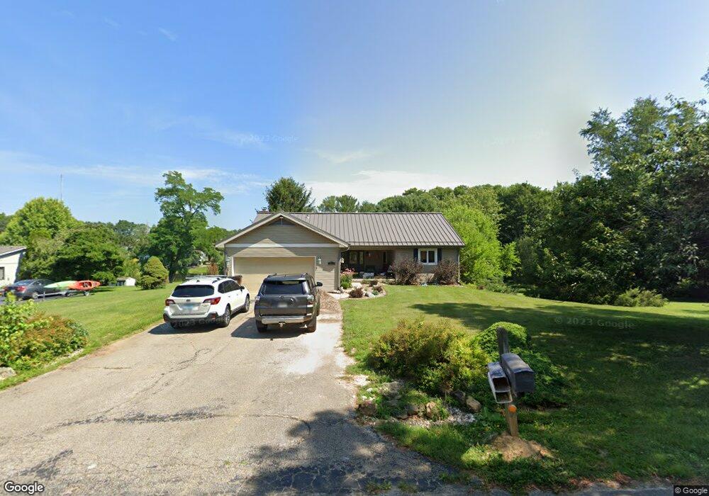
3615 E Robin Rd Bloomington, IN 47401
Estimated Value: $348,000 - $411,000
4
Beds
4
Baths
3,356
Sq Ft
$115/Sq Ft
Est. Value
About This Home
This home is located at 3615 E Robin Rd, Bloomington, IN 47401 and is currently estimated at $384,742, approximately $114 per square foot. 3615 E Robin Rd is a home located in Monroe County with nearby schools including Binford Elementary School, Rogers Elementary School, and Jackson Creek Middle School.
Ownership History
Date
Name
Owned For
Owner Type
Purchase Details
Closed on
Jul 15, 2011
Sold by
Droppo Ruth
Bought by
Jones Mikael R and Roberts Stephanie R
Current Estimated Value
Home Financials for this Owner
Home Financials are based on the most recent Mortgage that was taken out on this home.
Original Mortgage
$152,000
Outstanding Balance
$102,717
Interest Rate
4.52%
Mortgage Type
New Conventional
Estimated Equity
$282,025
Create a Home Valuation Report for This Property
The Home Valuation Report is an in-depth analysis detailing your home's value as well as a comparison with similar homes in the area
Purchase History
| Date | Buyer | Sale Price | Title Company |
|---|---|---|---|
| Jones Mikael R | -- | None Available |
Source: Public Records
Mortgage History
| Date | Status | Borrower | Loan Amount |
|---|---|---|---|
| Open | Jones Mikael R | $152,000 |
Source: Public Records
Tax History
| Year | Tax Paid | Tax Assessment Tax Assessment Total Assessment is a certain percentage of the fair market value that is determined by local assessors to be the total taxable value of land and additions on the property. | Land | Improvement |
|---|---|---|---|---|
| 2024 | $2,345 | $306,000 | $67,500 | $238,500 |
| 2023 | $1,183 | $303,400 | $67,500 | $235,900 |
| 2022 | $2,181 | $282,200 | $67,500 | $214,700 |
| 2021 | $2,108 | $264,200 | $67,500 | $196,700 |
| 2020 | $1,717 | $213,700 | $67,500 | $146,200 |
| 2019 | $1,477 | $215,500 | $67,500 | $148,000 |
| 2018 | $1,400 | $204,600 | $67,500 | $137,100 |
| 2017 | $1,352 | $198,900 | $67,500 | $131,400 |
| 2016 | $1,327 | $198,900 | $67,500 | $131,400 |
| 2014 | $1,279 | $198,300 | $67,500 | $130,800 |
Source: Public Records
Map
Nearby Homes
- 3665 E Robin Rd
- 3532 E Rogers Rd
- 3610 E Bryn Mawr Dr
- 3593 E Saddlebrook Ln
- 3110 E David Dr
- 2811 E Geneva Cir
- 3105 S Forrester St
- 2908 S Kings Ct
- 2557 S Smith Rd
- 3424 S Forrester St
- 3008 S Forrester St
- 2814 S Saint Remy Cir
- 2901 S Olcott Blvd
- 3201 E Kristen Ct
- 3707 E Bridgewater Ct
- 2480 S Smith Rd
- 2711 S Silver Creek Dr
- 3368 S Oaklawn Cir
- 3108 E Charles Ct
- 2057 E Charles Ct
- 3611 E Robin Rd
- 3625 E Robin Rd
- 3620 E Robin Rd
- 3605 E Robin Rd
- 3600 E Robin Rd
- 3520 E Rogers Rd
- 3660 E Robin Rd
- 3528 E Rogers Rd
- 3030 S Highpoint Ln
- 3524 E Rogers Rd
- 3700 E Robin Rd
- 3020 S Highpoint Ln
- 3690 E Robin Rd
- 3514 E Rogers Rd
- 3695 E Robin Rd
- 3550 E Robin Rd
- 3615 S Bluebird Ct
- 3510 E Rogers Rd
- 3132 S Highpoint Ln
- 3609 S Bluebird Ct
Your Personal Tour Guide
Ask me questions while you tour the home.