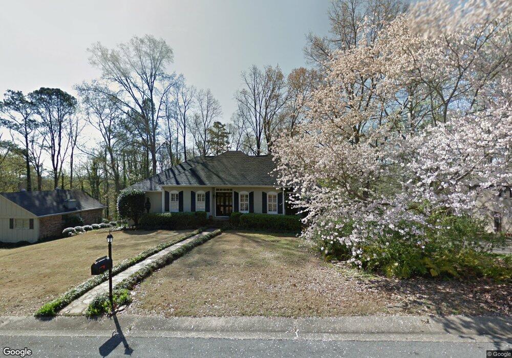
3615 Knightsbridge Rd Mountain Brook, AL 35223
Estimated Value: $586,000 - $692,393
4
Beds
4
Baths
2,097
Sq Ft
$303/Sq Ft
Est. Value
About This Home
This home is located at 3615 Knightsbridge Rd, Mountain Brook, AL 35223 and is currently estimated at $635,598, approximately $303 per square foot. 3615 Knightsbridge Rd is a home located in Jefferson County with nearby schools including Brookwood Forest Elementary School, Mt. Brook Junior High School, and Mt. Brook High School.
Ownership History
Date
Name
Owned For
Owner Type
Purchase Details
Closed on
Jun 23, 1998
Sold by
Omalley Horton William Paul and Horton Maura
Bought by
Glover Gregory C and Glover Tamela S
Current Estimated Value
Home Financials for this Owner
Home Financials are based on the most recent Mortgage that was taken out on this home.
Original Mortgage
$184,800
Outstanding Balance
$32,271
Interest Rate
7.21%
Estimated Equity
$603,327
Create a Home Valuation Report for This Property
The Home Valuation Report is an in-depth analysis detailing your home's value as well as a comparison with similar homes in the area
Home Values in the Area
Average Home Value in this Area
Purchase History
| Date | Buyer | Sale Price | Title Company |
|---|---|---|---|
| Glover Gregory C | $231,000 | -- |
Source: Public Records
Mortgage History
| Date | Status | Borrower | Loan Amount |
|---|---|---|---|
| Open | Glover Gregory C | $184,800 |
Source: Public Records
Tax History
| Year | Tax Paid | Tax Assessment Tax Assessment Total Assessment is a certain percentage of the fair market value that is determined by local assessors to be the total taxable value of land and additions on the property. | Land | Improvement |
|---|---|---|---|---|
| 2025 | $6,459 | $63,920 | -- | -- |
| 2024 | $5,401 | $59,740 | -- | -- |
| 2022 | $5,277 | $48,900 | $17,530 | $31,370 |
| 2021 | $4,584 | $42,540 | $17,530 | $25,010 |
| 2020 | $4,501 | $41,770 | $16,540 | $25,230 |
| 2019 | $3,683 | $37,740 | $0 | $0 |
| 2018 | $3,875 | $39,680 | $0 | $0 |
| 2017 | $3,467 | $35,560 | $0 | $0 |
| 2016 | $3,256 | $33,420 | $0 | $0 |
| 2015 | $3,256 | $33,420 | $0 | $0 |
| 2014 | $3,223 | $33,040 | $0 | $0 |
| 2013 | $3,223 | $33,040 | $0 | $0 |
Source: Public Records
Map
Nearby Homes
- 3411 Stoneleigh Dr
- 3559 Kingshill Rd
- 3551 Spring Valley Ct
- 3569 Kingshill Rd
- 3625 Ridgecrest Rd
- 3632 Kingshill Rd
- 3820 N Woodridge Rd
- 3601 Crestside Rd
- 3781 Rockhill Rd
- 3333 Westbury Rd
- 3537 Brookwood Rd
- 3601 Crestbrook Rd
- 3601 Springhill Rd
- 731 Hagbush Rd
- 3348 Overton Rd
- 3593 Springhill Rd
- 3342 Overton Rd
- 7441 Ashland Ln
- 3665 Brookwood Rd
- 3732 Rockhill Rd
- 3623 Knightsbridge Rd
- 3616 Chaumont Dr
- 3612 Chaumont Dr
- 3620 Chaumont Dr
- 3625 Knightsbridge Rd
- 3614 Knightsbridge Rd
- 3618 Knightsbridge Rd
- 3622 Knightsbridge Rd
- 3610 Knightsbridge Rd
- 3607 Knightsbridge Rd
- 3624 Chaumont Dr
- 3608 Chaumont Dr
- 3432 Sheffield Dr
- 3615 Chaumont Dr
- 3619 Chaumont Dr
- 3626 Knightsbridge Rd
- 3428 Sheffield Dr
- 3606 Knightsbridge Rd
- 3604 Chaumont Dr
- 3628 Chaumont Dr
Your Personal Tour Guide
Ask me questions while you tour the home.