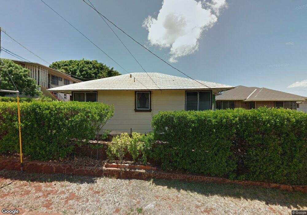
3617 Pahoa Ave Unit B Honolulu, HI 96816
Kaimuki NeighborhoodEstimated Value: $1,232,000 - $1,475,000
5
Beds
2
Baths
1,056
Sq Ft
$1,273/Sq Ft
Est. Value
About This Home
This home is located at 3617 Pahoa Ave Unit B, Honolulu, HI 96816 and is currently estimated at $1,344,464, approximately $1,273 per square foot. 3617 Pahoa Ave Unit B is a home located in Honolulu County with nearby schools including King Liholiho Elementary School, Kaimuki Middle School, and Kalani High School.
Ownership History
Date
Name
Owned For
Owner Type
Purchase Details
Closed on
Dec 13, 2012
Sold by
Ling Marie Tung Mei and Ling Lydia Ann
Bought by
Ling Marie Tung Mei and Ling Lydia Ann
Current Estimated Value
Purchase Details
Closed on
May 14, 2008
Sold by
Chun George K S and Chun Thomas N S
Bought by
Ling Frank S and The Ling Family Living Trust
Create a Home Valuation Report for This Property
The Home Valuation Report is an in-depth analysis detailing your home's value as well as a comparison with similar homes in the area
Home Values in the Area
Average Home Value in this Area
Purchase History
| Date | Buyer | Sale Price | Title Company |
|---|---|---|---|
| Ling Marie Tung Mei | -- | None Available | |
| Ling Marie Tung Mei | -- | None Available | |
| Ling Frank S | -- | Fhtc |
Source: Public Records
Tax History Compared to Growth
Tax History
| Year | Tax Paid | Tax Assessment Tax Assessment Total Assessment is a certain percentage of the fair market value that is determined by local assessors to be the total taxable value of land and additions on the property. | Land | Improvement |
|---|---|---|---|---|
| 2025 | $3,328 | $1,261,300 | $921,400 | $339,900 |
| 2024 | $3,328 | $1,110,800 | $877,500 | $233,300 |
| 2023 | $3,001 | $1,097,300 | $877,500 | $219,800 |
| 2022 | $3,234 | $1,064,000 | $789,800 | $274,200 |
| 2021 | $2,944 | $981,000 | $728,300 | $252,700 |
| 2020 | $2,935 | $978,700 | $728,300 | $250,400 |
| 2019 | $3,061 | $994,600 | $702,000 | $292,600 |
| 2018 | $2,761 | $908,900 | $675,700 | $233,200 |
| 2017 | $2,605 | $864,400 | $658,100 | $206,300 |
| 2016 | $2,572 | $854,800 | $658,100 | $196,700 |
| 2015 | $2,391 | $803,200 | $631,800 | $171,400 |
| 2014 | $2,724 | $738,800 | $570,400 | $168,400 |
Source: Public Records
Map
Nearby Homes
- 1039 11th Ave
- 912 Ocean View Dr
- 3741 Harding Ave
- 1103 10th Ave
- 833 10th Ave
- 766 Ocean View Dr
- 1139 9th Ave Unit 1201
- 1139 9th Ave Unit 303
- 1139 9th Ave Unit 703
- 1139 9th Ave Unit 304
- 1222 15th Ave
- 3350 Sierra Dr Unit 601
- 718 10th Ave
- 3427 Waialae Ave
- 1242 16th Ave
- 623 10th Ave
- 1331 9th Ave
- 1331 9th Ave Unit A
- 741 7th Ave
- 1319 16th Ave
- 3617 Pahoa Ave Unit A
- 3617 Pahoa Ave
- 3613 Pahoa Ave
- 3625 Pahoa Ave
- 3627 Pahoa Ave
- 959 12th Ave
- 3614 Pahoa Ave Unit A
- 3614 Pahoa Ave
- 3620A Pahoa Ave
- 3620 Pahoa Ave
- 3625A Pahoa Ave
- 3610 Pahoa Ave
- 947 12th Ave
- 3604 Pahoa Ave
- 3633 Pahoa Ave
- 3630 Pahoa Ave
- 938 Koko Head Ave
- 938 Koko Head Ave Unit (Downstairs)
- 938 Koko Head Ave Unit Upstairs
- 937 12th Ave