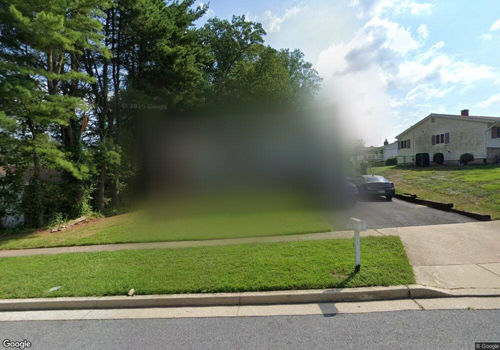
3619 Kings Point Rd Randallstown, MD 21133
Estimated Value: $359,000 - $436,000
--
Bed
3
Baths
1,826
Sq Ft
$212/Sq Ft
Est. Value
About This Home
This home is located at 3619 Kings Point Rd, Randallstown, MD 21133 and is currently estimated at $387,820, approximately $212 per square foot. 3619 Kings Point Rd is a home located in Baltimore County with nearby schools including Hernwood Elementary School, Deer Park Middle Magnet School, and New Town High.
Ownership History
Date
Name
Owned For
Owner Type
Purchase Details
Closed on
May 26, 2023
Sold by
Brooks Robert B
Bought by
Brooks Robert B and Brooks Kia C
Current Estimated Value
Purchase Details
Closed on
Jan 2, 2001
Sold by
Lancaster Lawrence L
Bought by
Brooks Telly M and Brooks Robert B
Purchase Details
Closed on
Feb 7, 1980
Sold by
Markow Ronald H G
Bought by
Lancaster Lawrence L
Create a Home Valuation Report for This Property
The Home Valuation Report is an in-depth analysis detailing your home's value as well as a comparison with similar homes in the area
Home Values in the Area
Average Home Value in this Area
Purchase History
| Date | Buyer | Sale Price | Title Company |
|---|---|---|---|
| Brooks Robert B | -- | None Listed On Document | |
| Brooks Telly M | $122,900 | -- | |
| Lancaster Lawrence L | $62,500 | -- |
Source: Public Records
Tax History Compared to Growth
Tax History
| Year | Tax Paid | Tax Assessment Tax Assessment Total Assessment is a certain percentage of the fair market value that is determined by local assessors to be the total taxable value of land and additions on the property. | Land | Improvement |
|---|---|---|---|---|
| 2025 | $4,421 | $277,233 | -- | -- |
| 2024 | $4,421 | $268,900 | $79,500 | $189,400 |
| 2023 | $2,030 | $256,000 | $0 | $0 |
| 2022 | $3,811 | $243,100 | $0 | $0 |
| 2021 | $6,796 | $230,200 | $79,500 | $150,700 |
| 2020 | $6,796 | $224,833 | $0 | $0 |
| 2019 | $3,250 | $219,467 | $0 | $0 |
| 2018 | $3,124 | $214,100 | $65,600 | $148,500 |
| 2017 | $3,058 | $205,033 | $0 | $0 |
| 2016 | -- | $195,967 | $0 | $0 |
| 2015 | -- | $186,900 | $0 | $0 |
| 2014 | -- | $186,900 | $0 | $0 |
Source: Public Records
Map
Nearby Homes
- 9804 Marriottsville Rd
- 30 Sheraton Rd
- 3517 Kings Point Rd
- 3803 Marriottsville Rd
- 3525 Cabot Rd
- 3538 Corn Stream Rd
- 9605 Mendoza Rd
- 3618 Granite Rd
- 3827 Rayton Rd
- 3903 Innerdale Ct
- 3518 Orchard Shade Rd
- 9931 Tuscarora Rd
- 9401 Summer Squal Dr
- 9302 Silver Charm Dr
- 10520 Marriottsville Rd
- 9 Bannock Ct
- 4264 Cayuga Rd
- 9311 Colorado Ave
- 9519 Branchleigh Rd
- 4105 Hanwell Rd
- 3617 Kings Point Rd
- 9829 Marriottsville Rd
- 9827 Marriottsville Rd
- 9840 Clanford Rd
- 9825 Marriottsville Rd
- 9838 Clanford Rd
- 3620 Kings Point Rd
- 3618 Kings Point Rd
- 9901 Marriottsville Rd
- 9900 Hoyt Cir
- 9823 Marriottsville Rd
- 9836 Clanford Rd
- 3613 Kings Point Rd
- 9839 Clanford Rd
- 9903 Marriottsville Rd
- 9828 Marriottsville Rd
- 9902 Hoyt Cir
- 9826 Marriottsville Rd
- 9821 Marriottsville Rd
- 9837 Clanford Rd