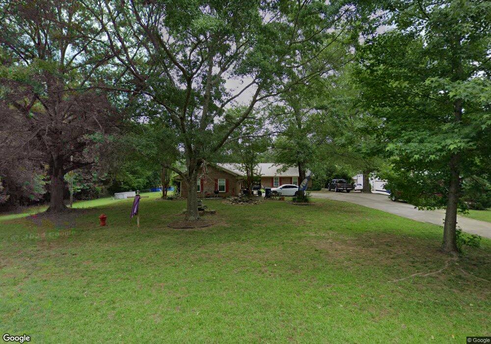
362 N Main St Pontotoc, MS 38863
Estimated Value: $198,943 - $394,000
--
Bed
2
Baths
2,168
Sq Ft
$139/Sq Ft
Est. Value
About This Home
This home is located at 362 N Main St, Pontotoc, MS 38863 and is currently estimated at $300,486, approximately $138 per square foot. 362 N Main St is a home located in Pontotoc County with nearby schools including Pontotoc Elementary School, D.T. Cox Elementary School, and Pontotoc Junior High School.
Ownership History
Date
Name
Owned For
Owner Type
Purchase Details
Closed on
Nov 23, 2015
Sold by
Thomas George W and Thomas Genia
Bought by
Johnson Willie James and Johnson Linda R
Current Estimated Value
Home Financials for this Owner
Home Financials are based on the most recent Mortgage that was taken out on this home.
Original Mortgage
$166,500
Outstanding Balance
$68,384
Interest Rate
3.83%
Mortgage Type
Purchase Money Mortgage
Estimated Equity
$232,102
Purchase Details
Closed on
Apr 3, 2007
Sold by
Baldwin David
Bought by
Thomas George W and Thomas Genia
Create a Home Valuation Report for This Property
The Home Valuation Report is an in-depth analysis detailing your home's value as well as a comparison with similar homes in the area
Home Values in the Area
Average Home Value in this Area
Purchase History
| Date | Buyer | Sale Price | Title Company |
|---|---|---|---|
| Johnson Willie James | -- | -- | |
| Thomas George W | -- | -- |
Source: Public Records
Mortgage History
| Date | Status | Borrower | Loan Amount |
|---|---|---|---|
| Open | Johnson Willie James | $166,500 |
Source: Public Records
Tax History Compared to Growth
Tax History
| Year | Tax Paid | Tax Assessment Tax Assessment Total Assessment is a certain percentage of the fair market value that is determined by local assessors to be the total taxable value of land and additions on the property. | Land | Improvement |
|---|---|---|---|---|
| 2024 | $1,698 | $13,287 | $0 | $0 |
| 2023 | $1,695 | $13,287 | $0 | $0 |
| 2022 | $459 | $11,892 | $0 | $0 |
| 2021 | $471 | $11,892 | $0 | $0 |
| 2020 | $1,475 | $11,892 | $0 | $0 |
| 2019 | $454 | $11,856 | $0 | $0 |
| 2018 | $453 | $11,085 | $0 | $0 |
| 2017 | $469 | $11,085 | $0 | $0 |
| 2016 | $469 | $11,085 | $0 | $0 |
| 2015 | $648 | $11,213 | $0 | $0 |
| 2014 | $648 | $11,213 | $0 | $0 |
Source: Public Records
Map
Nearby Homes
- 3 Forest Dr
- 5 Forest Dr
- 10 Forest Dr
- 11 Forest Dr
- 12 Forest Dr
- 145 Forest Dr
- 394 Northridge Dr
- 0 Fawn Cir
- 0 N Main St
- 4 Oak Dr
- 185 W Oxford St
- 605 County Road 442
- 132 N Brooks St
- 231 Greenbriar Cir
- 0 0 Hwy 15 Unit 25-1317
- 332 Greenwood St
- 122 N Columbia St
- 17 N Main St
- 49A W Reynolds St
- 0 Henry Southern Dr
- 362 N Main St
- 360 N Main St
- 14 Forest Dr
- 352 N Main St
- 106 Lacey Ln
- 106 Forest Dr
- 346 N Main St
- 111 Mauldin Ln
- 105 Lacey Ln
- 105 Lacey Ln
- 112 Lacey Ln
- 112 Lacey Ln
- 125 Mauldin Ln
- 366 Northridge Dr
- 340 N Main St
- 340 N Main St
- 0 Lot 1 ( 993 Acres) N Main St
- 379 Northridge Dr
- 379 Northridge Dr
- 130 Forrest Field Dr