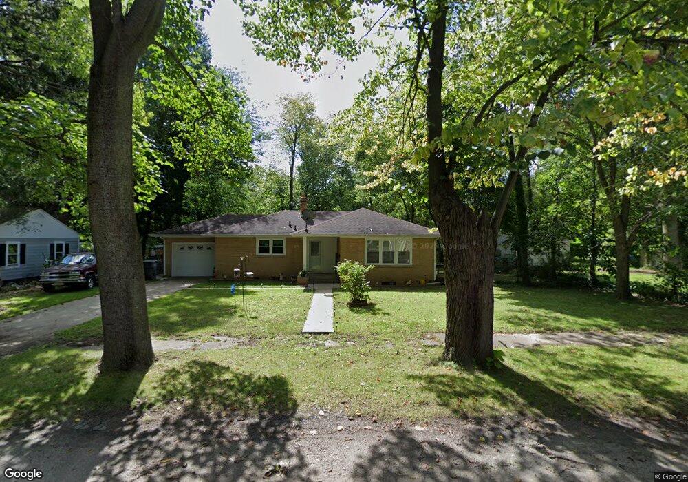
362 Parker Ave Benton Harbor, MI 49022
Fair Plain NeighborhoodEstimated Value: $138,000 - $188,173
3
Beds
1
Bath
1,144
Sq Ft
$138/Sq Ft
Est. Value
About This Home
This home is located at 362 Parker Ave, Benton Harbor, MI 49022 and is currently estimated at $157,543, approximately $137 per square foot. 362 Parker Ave is a home located in Berrien County with nearby schools including Fair Plain Middle School, Benton Harbor High School, and Benton Harbor Charter School Academy.
Ownership History
Date
Name
Owned For
Owner Type
Purchase Details
Closed on
Apr 15, 2022
Sold by
Johnson Wana L
Bought by
Conkin Leo E and Conkin Teresa
Current Estimated Value
Home Financials for this Owner
Home Financials are based on the most recent Mortgage that was taken out on this home.
Original Mortgage
$115,430
Outstanding Balance
$107,958
Interest Rate
3.85%
Mortgage Type
New Conventional
Estimated Equity
$49,585
Purchase Details
Closed on
Jun 16, 2000
Purchase Details
Closed on
Jul 8, 1993
Purchase Details
Closed on
Jul 17, 1983
Create a Home Valuation Report for This Property
The Home Valuation Report is an in-depth analysis detailing your home's value as well as a comparison with similar homes in the area
Home Values in the Area
Average Home Value in this Area
Purchase History
| Date | Buyer | Sale Price | Title Company |
|---|---|---|---|
| Conkin Leo E | $119,000 | New Title Company Name | |
| -- | $56,900 | -- | |
| -- | -- | -- | |
| -- | -- | -- |
Source: Public Records
Mortgage History
| Date | Status | Borrower | Loan Amount |
|---|---|---|---|
| Open | Conkin Leo E | $115,430 | |
| Closed | Conkin Leo E | $7,446 |
Source: Public Records
Tax History Compared to Growth
Tax History
| Year | Tax Paid | Tax Assessment Tax Assessment Total Assessment is a certain percentage of the fair market value that is determined by local assessors to be the total taxable value of land and additions on the property. | Land | Improvement |
|---|---|---|---|---|
| 2025 | $1,684 | $81,100 | $0 | $0 |
| 2024 | $1,004 | $66,000 | $0 | $0 |
| 2023 | $956 | $54,400 | $0 | $0 |
| 2022 | $560 | $36,900 | $0 | $0 |
| 2021 | $912 | $38,500 | $7,400 | $31,100 |
| 2020 | $850 | $37,900 | $0 | $0 |
| 2019 | $812 | $32,400 | $3,500 | $28,900 |
| 2018 | $793 | $32,400 | $0 | $0 |
| 2017 | $751 | $31,200 | $0 | $0 |
| 2016 | $730 | $31,000 | $0 | $0 |
| 2015 | $729 | $28,200 | $0 | $0 |
| 2014 | $497 | $29,100 | $0 | $0 |
Source: Public Records
Map
Nearby Homes
- 304 W May St
- 202 Searles Ave
- 1000 Riverview Dr Unit 11
- 941 Colfax Ave
- 979 Lavette Ave
- 171 E Empire Ave
- 131 Clay St
- 1235 Colfax Ave
- 694 Colfax Ave
- 379 Western Ave
- 180 Emery Ave
- 161 Kline Ave
- 398 Anchors Way Unit 82s
- 398 Anchors Way Unit 87s
- 1045 Broadway
- 972 Pearl St
- 576 Colfax Ave
- 39884 Anchors Way
- 1097 Pearl St
- 513 N Ottawa Rd
- 362 Parker Ave
- 376 Parker Ave
- 350 Parker Ave
- 386 Parker Ave
- 361 Searles Ave
- 363 Searles Ave
- 385 Parker Ave
- 387 Searles Ave
- 353 Searles Ave
- 342 Parker Ave
- 400 Parker Ave
- 345 Parker Ave
- 389 Parker Ave
- 395 Parker Ave
- 377 Parker Ave
- 356 Bluff Ct
- 327 Searles Ave
- 315 Searles Ave
- 348 Bluff Ct
- 300 Parker Ave