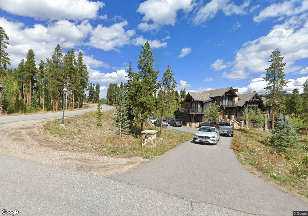
362 Peerless Dr Breckenridge, CO 80424
Estimated Value: $4,775,000 - $8,900,537
6
Beds
6
Baths
3,175
Sq Ft
$2,100/Sq Ft
Est. Value
About This Home
This home is located at 362 Peerless Dr, Breckenridge, CO 80424 and is currently estimated at $6,666,512, approximately $2,099 per square foot. 362 Peerless Dr is a home with nearby schools including Upper Blue Elementary School, Summit Middle School, and Summit High School.
Ownership History
Date
Name
Owned For
Owner Type
Purchase Details
Closed on
Mar 13, 2023
Sold by
Fowler Cortez E
Bought by
Artc Llc
Current Estimated Value
Purchase Details
Closed on
Mar 8, 2021
Sold by
Crta Llc
Bought by
Fowler Curt E and Fowler Elizabeth R
Purchase Details
Closed on
Mar 18, 2019
Sold by
Fowler Cort E and Fowler Elizabeth R
Bought by
Crta Llc
Purchase Details
Closed on
Apr 20, 2018
Sold by
Miller Tanya B
Bought by
Fowler Cort E and Fowler Elizabeth R
Create a Home Valuation Report for This Property
The Home Valuation Report is an in-depth analysis detailing your home's value as well as a comparison with similar homes in the area
Home Values in the Area
Average Home Value in this Area
Purchase History
| Date | Buyer | Sale Price | Title Company |
|---|---|---|---|
| Artc Llc | -- | -- | |
| Fowler Curt E | -- | None Available | |
| Crta Llc | -- | None Available | |
| Fowler Cort E | $1,800,000 | Stewart Title |
Source: Public Records
Tax History
| Year | Tax Paid | Tax Assessment Tax Assessment Total Assessment is a certain percentage of the fair market value that is determined by local assessors to be the total taxable value of land and additions on the property. | Land | Improvement |
|---|---|---|---|---|
| 2024 | $25,937 | $481,663 | -- | -- |
| 2023 | $25,937 | $477,978 | $0 | $0 |
| 2022 | $21,312 | $369,796 | $0 | $0 |
| 2021 | $19,071 | $333,961 | $0 | $0 |
| 2020 | $11,348 | $197,231 | $0 | $0 |
| 2019 | $7,579 | $133,457 | $0 | $0 |
| 2018 | $18,235 | $311,968 | $0 | $0 |
| 2017 | $16,814 | $311,968 | $0 | $0 |
| 2016 | $13,419 | $245,552 | $0 | $0 |
| 2015 | $13,029 | $245,552 | $0 | $0 |
| 2014 | $13,439 | $250,254 | $0 | $0 |
| 2013 | -- | $250,254 | $0 | $0 |
Source: Public Records
Map
Nearby Homes
- 111 Brooks and Snider Rd
- 847 Airport Rd Unit 18
- 847 Airport Rd Unit 14
- 847 Airport Rd Unit 24
- 456 Peerless Dr
- 21 Union Trail
- 204 Woods Dr Unit 5
- 206 Woods Dr Unit 6
- 166 Woods Dr Unit 2
- 186 Woods Dr Unit 4
- 164 Woods Dr Unit 1
- 184 Woods Dr Unit 3
- 29 Liberty Ct Unit 16
- 53 Liberty Ct Unit 13
- 62 Liberty Ct Unit 9
- 27 Liberty Ct Unit 15
- 64 Liberty Ct Unit 10
- 114 Luisa Dr
- 127 Windwood Cir
- 309 Royal Tiger Rd
- 314 Peerless Dr
- 36 Iron Mask Rd
- 345 Peerless Dr
- 295 Peerless Dr
- 33 Iron Mask Dr
- 60 Iron Mask Rd
- 33 Iron Mask Rd
- 327 Peerless Dr
- 68 Iron Mask Rd
- 244 Peerless Dr
- 61 Iron Mask Rd
- 416 Peerless Dr
- 229 Peerless Dr
- 216 Peerless Dr
- 450 Peerless Dr
- 177 Peerless Dr
- 474 Peerless Dr
- 67 Brooks Snider Rd
- 188 Peerless Dr
- 462 Peerless Dr
Your Personal Tour Guide
Ask me questions while you tour the home.