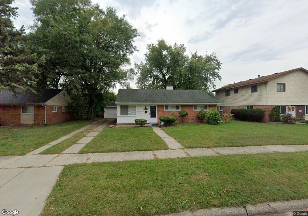
3620 Michael Ave Unit Bldg-Unit Warren, MI 48091
Southwest Warren NeighborhoodEstimated Value: $151,000 - $164,000
3
Beds
2
Baths
1,092
Sq Ft
$146/Sq Ft
Est. Value
About This Home
This home is located at 3620 Michael Ave Unit Bldg-Unit, Warren, MI 48091 and is currently estimated at $159,752, approximately $146 per square foot. 3620 Michael Ave Unit Bldg-Unit is a home located in Macomb County with nearby schools including Schofield Elementary School, Mound Park Elementary School, and Westview Elementary School.
Ownership History
Date
Name
Owned For
Owner Type
Purchase Details
Closed on
Aug 13, 2018
Sold by
Shakourzadeh Maziyar
Bought by
Five Five Two Llc
Current Estimated Value
Purchase Details
Closed on
Mar 21, 2014
Sold by
Espo Properties Mi Inc
Bought by
Vio 925 Llc and 3620 Michael Avenue Trust
Purchase Details
Closed on
Jul 6, 2012
Sold by
Federal Home Loan Mortgage Corporation
Bought by
Espo Properties Mi Inc
Purchase Details
Closed on
Dec 29, 2011
Sold by
Timny Matthew R
Bought by
Federal Home Loan Mortgage Corporation
Purchase Details
Closed on
Mar 3, 1995
Sold by
Shrf Adnan Sana Pr
Bought by
Chase Manhattan Mtg Corp
Create a Home Valuation Report for This Property
The Home Valuation Report is an in-depth analysis detailing your home's value as well as a comparison with similar homes in the area
Home Values in the Area
Average Home Value in this Area
Purchase History
| Date | Buyer | Sale Price | Title Company |
|---|---|---|---|
| Five Five Two Llc | $58,500 | None Available | |
| Vio 925 Llc | -- | None Available | |
| Espo Properties Mi Inc | $26,000 | Attorneys Title Agency Llc | |
| Federal Home Loan Mortgage Corporation | $49,046 | None Available | |
| Chase Manhattan Mtg Corp | $61,893 | -- |
Source: Public Records
Tax History
| Year | Tax Paid | Tax Assessment Tax Assessment Total Assessment is a certain percentage of the fair market value that is determined by local assessors to be the total taxable value of land and additions on the property. | Land | Improvement |
|---|---|---|---|---|
| 2025 | $2,850 | $75,330 | $0 | $0 |
| 2024 | $28 | $68,730 | $0 | $0 |
| 2023 | $2,639 | $59,330 | $0 | $0 |
| 2022 | $2,497 | $51,370 | $0 | $0 |
| 2021 | $2,561 | $48,420 | $0 | $0 |
| 2020 | $2,462 | $42,890 | $0 | $0 |
| 2019 | $2,351 | $32,650 | $0 | $0 |
| 2018 | $0 | $25,300 | $0 | $0 |
| 2017 | $1,660 | $24,740 | $3,100 | $21,640 |
| 2016 | $1,836 | $24,740 | $0 | $0 |
| 2015 | -- | $22,920 | $0 | $0 |
| 2013 | $1,466 | $20,220 | $0 | $0 |
Source: Public Records
Map
Nearby Homes
- 3925 Toepfer Rd
- 3701 Berkshire Ave
- 3409 Jarvis Ave
- 3167 Berkshire Ave
- 3039 Pearl Ave
- 1936 Pearl Ave
- 21857 Le Fever Ave
- 3313 Dallas Ave
- 21044 Sunset Ave
- 22200 Le Fever Ave
- 21840 Cunningham Ave
- 2746 John B Ave
- 2195 Michael Ave
- 4061 E 8 Mile Rd
- 20506 Revere St
- 22694 Le Fever Ave
- 3571 Los Angeles Ave
- 2615 Emmons Ave
- 3471 Los Angeles Ave
- 23420 Harned St Unit 1
- 3620 Michael Ave
- 3632 Michael Ave
- 3608 Michael Ave
- 3625 Toepfer Rd
- 3644 Michael Ave
- 3637 Toepfer Rd
- 3611 Toepfer Rd
- 3649 Toepfer Rd
- 3619 Michael Ave
- 3631 Michael Ave
- 3607 Michael Ave
- 3702 Michael Ave
- 3462 Michael Ave
- 3709 Toepfer Rd
- 3643 Michael Ave
- 3541 Toepfer Rd
- 3719 Toepfer Rd
- 3714 Michael Ave
- 3450 Michael Ave
- 3701 Michael Ave
Your Personal Tour Guide
Ask me questions while you tour the home.