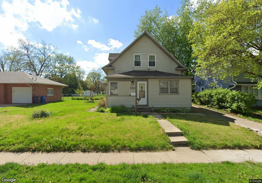
3620 SW 12th St Des Moines, IA 50315
Greater South Side NeighborhoodEstimated Value: $228,000 - $243,556
3
Beds
2
Baths
1,590
Sq Ft
$146/Sq Ft
Est. Value
About This Home
This home is located at 3620 SW 12th St, Des Moines, IA 50315 and is currently estimated at $232,639, approximately $146 per square foot. 3620 SW 12th St is a home located in Polk County with nearby schools including Park Avenue Elementary School, Brody Middle School, and Lincoln High School.
Ownership History
Date
Name
Owned For
Owner Type
Purchase Details
Closed on
May 18, 1998
Sold by
Candiano Phillip J and Candiano Joyce A
Bought by
Kinzie Ladd A and Kinzie Cathy A
Current Estimated Value
Home Financials for this Owner
Home Financials are based on the most recent Mortgage that was taken out on this home.
Original Mortgage
$87,577
Outstanding Balance
$17,246
Interest Rate
7.19%
Mortgage Type
FHA
Estimated Equity
$215,393
Create a Home Valuation Report for This Property
The Home Valuation Report is an in-depth analysis detailing your home's value as well as a comparison with similar homes in the area
Home Values in the Area
Average Home Value in this Area
Purchase History
| Date | Buyer | Sale Price | Title Company |
|---|---|---|---|
| Kinzie Ladd A | $87,500 | -- |
Source: Public Records
Mortgage History
| Date | Status | Borrower | Loan Amount |
|---|---|---|---|
| Open | Kinzie Ladd A | $87,577 |
Source: Public Records
Tax History Compared to Growth
Tax History
| Year | Tax Paid | Tax Assessment Tax Assessment Total Assessment is a certain percentage of the fair market value that is determined by local assessors to be the total taxable value of land and additions on the property. | Land | Improvement |
|---|---|---|---|---|
| 2025 | $3,770 | $232,200 | $62,400 | $169,800 |
| 2024 | $3,770 | $202,100 | $54,200 | $147,900 |
| 2023 | $3,804 | $202,100 | $54,200 | $147,900 |
| 2022 | $3,774 | $170,300 | $48,200 | $122,100 |
| 2021 | $3,486 | $170,300 | $48,200 | $122,100 |
| 2020 | $3,616 | $148,300 | $42,200 | $106,100 |
| 2019 | $3,356 | $148,300 | $42,200 | $106,100 |
| 2018 | $3,316 | $133,400 | $37,600 | $95,800 |
| 2017 | $3,088 | $133,400 | $37,600 | $95,800 |
| 2016 | $3,004 | $122,700 | $34,500 | $88,200 |
| 2015 | $3,004 | $122,700 | $34,500 | $88,200 |
| 2014 | $2,840 | $119,800 | $33,400 | $86,400 |
Source: Public Records
Map
Nearby Homes
- 3514 SW 12th St
- 3808 SW 12th St
- 3824 SW 12th St
- 3724 SW 13th St
- 1222 Watrous Ave
- 3618 SW 9th St
- 1230 Park Ave
- 4020 SW 12th St
- 3605 SW 9th St
- 3224 SW 13th Place
- 4108 SW 12th St
- 3903 SW 9th St
- 1219 Elder Ln
- 3125 SW 13th Place
- 1204 Elder Ln
- 3308 SW 7th St
- 1518 Park Ave
- 1607 Carrie Ave
- 606 Marion St
- 1616 Park Ave
- 3610 SW 12th St
- 3610 SW 12th St
- 3624 SW 12th St
- 3604 SW 12th St
- 1210 Thornton Ave
- 1132 Thornton Ave
- 1135 Wolcott Ave
- 3708 SW 12th St
- 1214 Thornton Ave
- 1126 Thornton Ave
- 1131 Wolcott Ave
- 3710 SW 12th St
- 3522 SW 12th St
- 1124 Thornton Ave
- 1220 Thornton Ave
- 1125 Wolcott Ave
- 3521 SW 12th Place
- 3525 SW 12th St
- 1120 Thornton Ave
- 1134 Wolcott Ave