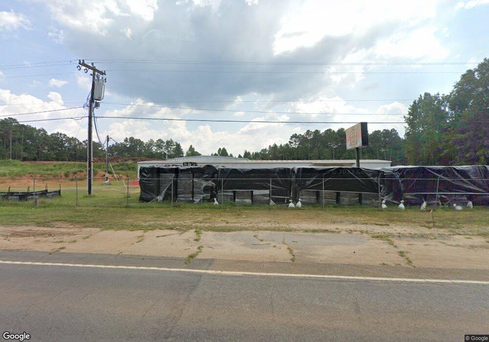
3621 Highway 29 S Anderson, SC 29626
Estimated Value: $134,607
--
Bed
--
Bath
10,566
Sq Ft
$13/Sq Ft
Est. Value
About This Home
This home is located at 3621 Highway 29 S, Anderson, SC 29626 and is currently priced at $134,607, approximately $12 per square foot. 3621 Highway 29 S is a home located in Anderson County with nearby schools including Crescent High School.
Ownership History
Date
Name
Owned For
Owner Type
Purchase Details
Closed on
Jun 10, 2022
Sold by
Dickson Edward M
Bought by
Rgolden Eastside Holdings Llc
Current Estimated Value
Home Financials for this Owner
Home Financials are based on the most recent Mortgage that was taken out on this home.
Original Mortgage
$400,000
Outstanding Balance
$229,478
Interest Rate
5.1%
Mortgage Type
Credit Line Revolving
Purchase Details
Closed on
Jun 28, 2006
Sold by
Childs Bobbie
Bought by
Dickson Ed
Create a Home Valuation Report for This Property
The Home Valuation Report is an in-depth analysis detailing your home's value as well as a comparison with similar homes in the area
Home Values in the Area
Average Home Value in this Area
Purchase History
| Date | Buyer | Sale Price | Title Company |
|---|---|---|---|
| Rgolden Eastside Holdings Llc | $135,000 | Treadwell Ronnie J | |
| Rgolden Eastside Holdings Llc | $135,000 | None Listed On Document | |
| Dickson Ed | $165,000 | None Available |
Source: Public Records
Mortgage History
| Date | Status | Borrower | Loan Amount |
|---|---|---|---|
| Open | Rgolden Eastside Holdings Llc | $400,000 | |
| Closed | Rgolden Eastside Holdings Llc | $400,000 |
Source: Public Records
Tax History Compared to Growth
Tax History
| Year | Tax Paid | Tax Assessment Tax Assessment Total Assessment is a certain percentage of the fair market value that is determined by local assessors to be the total taxable value of land and additions on the property. | Land | Improvement |
|---|---|---|---|---|
| 2024 | $10,109 | $29,400 | $22,300 | $7,100 |
| 2023 | $10,109 | $29,400 | $22,300 | $7,100 |
| 2022 | $2,761 | $8,680 | $1,580 | $7,100 |
| 2021 | $2,504 | $8,160 | $1,580 | $6,580 |
| 2020 | $2,498 | $8,160 | $1,580 | $6,580 |
| 2019 | $2,498 | $8,160 | $1,580 | $6,580 |
| 2018 | $2,464 | $8,160 | $1,580 | $6,580 |
| 2017 | -- | $8,160 | $1,580 | $6,580 |
| 2016 | $2,379 | $8,020 | $1,440 | $6,580 |
| 2015 | $2,406 | $8,020 | $1,440 | $6,580 |
| 2014 | $2,407 | $8,020 | $1,440 | $6,580 |
Source: Public Records
Map
Nearby Homes
- 102 Canter Ln
- 3800 U S 29
- 3901 U S 29
- 0 Trump Pointe Unit 20286225
- 00 Trump Pointe
- 2916 Highway 29 S
- 113 Tate Dr
- 109 Tate Dr
- 304 Cleveland Rd
- 110 , 112 Hickory Forest Dr
- 117 Hickory Forest Dr
- 410, 426,& 436 Cleveland Rd
- 102 Hickory Forest Dr
- 4274 Highway 29 S
- 1215 Grady Hall Rd
- 143 George Merck Rd
- 884 Martin Rd
- 120 Allendale Cir
- 505 Stevenson Rd
- 132 Stevenson Rd
- 103 Canter Ln
- 106 Canter Ln
- 404 Mountain Creek Church Rd
- 107 Canter Ln
- 108 Canter Ln
- 301 Mountain Creek Church Rd
- 100 Christopher Dr
- 109 Canter Ln
- 405 Mountain Creek Church Rd
- 103 Anthony Dr
- 100 Arabian Way Unit Trotter Trail II
- 100 Arabian Way
- 104 Anthony Dr
- 102 Glenna Dr
- 104 Christopher Dr
- 105 Anthony Dr
- 101 Spring Hill Rd
- 115 Mountain Creek Church Rd
- 106 Anthony Dr
- 501 Mountain Creek Church Rd