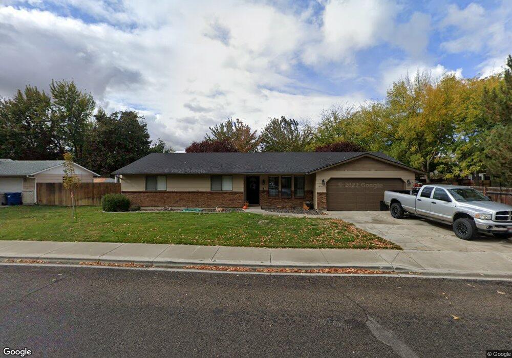
3621 Shamrock St Boise, ID 83713
West Boise NeighborhoodEstimated Value: $450,000 - $472,000
4
Beds
2
Baths
1,688
Sq Ft
$273/Sq Ft
Est. Value
About This Home
This home is located at 3621 Shamrock St, Boise, ID 83713 and is currently estimated at $460,651, approximately $272 per square foot. 3621 Shamrock St is a home located in Ada County with nearby schools including Frontier Elementary School, Lowell Scott Middle School, and Centennial High School.
Ownership History
Date
Name
Owned For
Owner Type
Purchase Details
Closed on
May 31, 2001
Sold by
Schow Michael W and Schow Lili Marnice
Bought by
Deleo Steven and Deleo Christina
Current Estimated Value
Home Financials for this Owner
Home Financials are based on the most recent Mortgage that was taken out on this home.
Original Mortgage
$105,839
Outstanding Balance
$40,346
Interest Rate
7.15%
Mortgage Type
FHA
Estimated Equity
$420,305
Create a Home Valuation Report for This Property
The Home Valuation Report is an in-depth analysis detailing your home's value as well as a comparison with similar homes in the area
Home Values in the Area
Average Home Value in this Area
Purchase History
| Date | Buyer | Sale Price | Title Company |
|---|---|---|---|
| Deleo Steven | -- | First American |
Source: Public Records
Mortgage History
| Date | Status | Borrower | Loan Amount |
|---|---|---|---|
| Open | Deleo Steven | $105,839 |
Source: Public Records
Tax History Compared to Growth
Tax History
| Year | Tax Paid | Tax Assessment Tax Assessment Total Assessment is a certain percentage of the fair market value that is determined by local assessors to be the total taxable value of land and additions on the property. | Land | Improvement |
|---|---|---|---|---|
| 2025 | $1,772 | $415,600 | -- | -- |
| 2024 | $1,641 | $392,900 | -- | -- |
| 2023 | $1,641 | $360,700 | $0 | $0 |
| 2022 | $2,087 | $434,100 | $0 | $0 |
| 2021 | $1,882 | $339,700 | $0 | $0 |
| 2020 | $1,570 | $257,500 | $0 | $0 |
| 2019 | $1,804 | $240,900 | $0 | $0 |
| 2018 | $1,540 | $208,400 | $0 | $0 |
| 2017 | $1,403 | $185,800 | $0 | $0 |
| 2016 | $1,318 | $170,300 | $0 | $0 |
| 2015 | $1,209 | $158,800 | $0 | $0 |
| 2012 | -- | $107,500 | $0 | $0 |
Source: Public Records
Map
Nearby Homes
- 3958 N Bryson Way
- 11175 W Hinsdale St
- 11143 W Ramrod Dr
- 10992 W Musket Dr
- 11900 W Ramrod Dr
- 11000 W Ramrod Dr
- 3552 N Covered Wagon Way
- 3860 N Elgin Way
- 11266 W Race Ct
- 11288 W Race Ct
- 10974 W Edna St
- 12116 W Musket Dr
- 12137 W Ginger Creek Dr
- 12159 W Ginger Creek Dr
- 12169 W Ginger Creek Dr
- 12153 W Ginger Creek Dr
- 12123 W Ginger Creek Dr
- 11301 W Goldenrod Ave
- 3981 N Creswell Ln
- Plan 2301 at Mooseland
- 3622 Bryson Way
- 3593 Shamrock St
- 11449 Powderhorn St
- 3594 Bryson Way
- 3650 Bryson Way
- 3620 Shamrock St
- 3592 N Shamrock Ave
- 3592 Shamrock St
- 11383 Powderhorn St
- 3537 Shamrock St
- 11485 Freedom Dr
- 3564 Shamrock St
- 11485 W Freedom Dr
- 11510 Freedom Dr
- 11448 Powderhorn St
- 3643 Chuckwagon Ave
- 3619 Chuckwagon Ave
- 3706 Bryson Way
- 3536 Shamrock St
- 11482 W Ramrod Dr