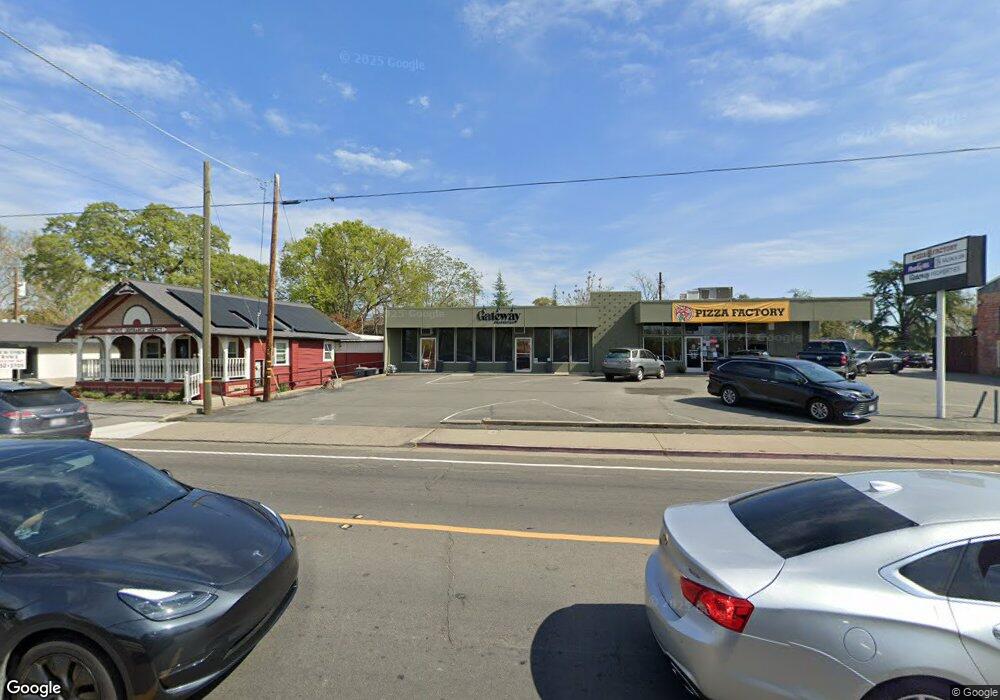
3621 Taylor Rd Loomis, CA 95650
Studio
--
Bath
--
Sq Ft
0.54
Acres
About This Home
This home is located at 3621 Taylor Rd, Loomis, CA 95650. 3621 Taylor Rd is a home located in Placer County with nearby schools including Del Oro High School, Loomis Basin Charter School, and Holy Cross Lutheran Academy.
Ownership History
Date
Name
Owned For
Owner Type
Purchase Details
Closed on
Feb 18, 2015
Sold by
Bosserman Anthony and Bosserman Pamela J
Bought by
Houghtby Retail Center Llc
Purchase Details
Closed on
Mar 26, 2001
Sold by
Finegold Cecil and Cecil Finegold Charitable Trus
Bought by
Bosserman Anthony C and Bosserman Pamela J
Home Financials for this Owner
Home Financials are based on the most recent Mortgage that was taken out on this home.
Original Mortgage
$585,000
Interest Rate
7.09%
Mortgage Type
Commercial
Create a Home Valuation Report for This Property
The Home Valuation Report is an in-depth analysis detailing your home's value as well as a comparison with similar homes in the area
Home Values in the Area
Average Home Value in this Area
Purchase History
| Date | Buyer | Sale Price | Title Company |
|---|---|---|---|
| Houghtby Retail Center Llc | $750,000 | None Available | |
| Bosserman Anthony C | $650,000 | North American Title Co |
Source: Public Records
Mortgage History
| Date | Status | Borrower | Loan Amount |
|---|---|---|---|
| Previous Owner | Bosserman Anthony C | $585,000 |
Source: Public Records
Tax History Compared to Growth
Tax History
| Year | Tax Paid | Tax Assessment Tax Assessment Total Assessment is a certain percentage of the fair market value that is determined by local assessors to be the total taxable value of land and additions on the property. | Land | Improvement |
|---|---|---|---|---|
| 2025 | $11,994 | $1,027,573 | $336,514 | $691,059 |
| 2023 | $11,994 | $987,673 | $323,448 | $664,225 |
| 2022 | $11,745 | $968,307 | $317,106 | $651,201 |
| 2021 | $11,435 | $949,322 | $310,889 | $638,433 |
| 2020 | $11,290 | $939,589 | $307,702 | $631,887 |
| 2019 | $11,087 | $921,167 | $301,669 | $619,498 |
| 2018 | $10,516 | $903,105 | $295,754 | $607,351 |
| 2017 | $10,328 | $885,398 | $289,955 | $595,443 |
| 2016 | $10,100 | $868,038 | $284,270 | $583,768 |
| 2015 | $7,229 | $658,346 | $313,439 | $344,907 |
| 2014 | $7,116 | $645,451 | $307,300 | $338,151 |
Source: Public Records
Map
Nearby Homes
- 6046 Thornwood Dr
- 3730 Callison St
- 6318 David Ave
- 6154 S Walnut St Unit 40
- 3469 Reyman Ln
- 3293 Stone Field Way
- 3301 Stone Field Way
- 5932 Angelo Dr
- 5512 Sagehen Ct
- 1755 Sierra College Blvd
- 1855 Sierra College Blvd
- 0 Tracy Ln
- Residence Five Plan at The Woods at Crowne Point
- Residence Two Plan at The Woods at Crowne Point
- Residence One Plan at The Woods at Crowne Point
- Residence Four Plan at The Woods at Crowne Point
- Residence Three Plan at The Woods at Crowne Point
- 5740 Golden Pond Dr
- 5751 Golden Pond Dr
- 5731 Secret Creek Dr
- 3615 Taylor Rd
- 3620 Laird St
- 3612 Laird St
- 3637 Taylor Rd
- 3601 Taylor Rd
- 5825 Horseshoe Bar Rd
- 3621 Laird St
- 3620 Taylor Rd
- 5845 Horseshoe Bar Rd
- 3850 Laird St
- 5861 Horseshoe Bar Rd
- 3640 Taylor Rd
- 5885 Horseshoe Bar Rd
- 3591 Laird St
- 5895 Horseshoe Bar Rd
- 6001 Thornwood Dr
- 3587 Laird St
- 3661 Magnolia St
- 6005 Thornwood Dr
- 3583 Laird St