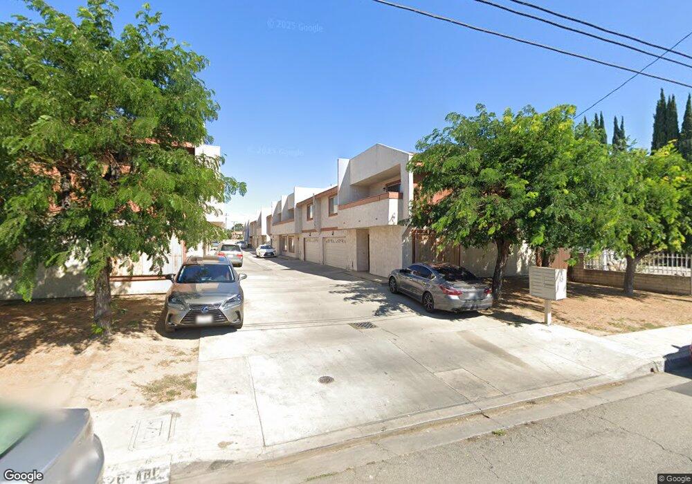
3622 Maxson Rd Unit A El Monte, CA 91732
River East NeighborhoodEstimated Value: $574,000 - $603,000
3
Beds
3
Baths
1,451
Sq Ft
$406/Sq Ft
Est. Value
About This Home
This home is located at 3622 Maxson Rd Unit A, El Monte, CA 91732 and is currently estimated at $588,585, approximately $405 per square foot. 3622 Maxson Rd Unit A is a home located in Los Angeles County with nearby schools including Mountain View High.
Ownership History
Date
Name
Owned For
Owner Type
Purchase Details
Closed on
Mar 3, 1999
Sold by
Zhou Rong B and Chow Eric Rong
Bought by
Chow Eric Rong and Wu Shi Yi
Current Estimated Value
Home Financials for this Owner
Home Financials are based on the most recent Mortgage that was taken out on this home.
Original Mortgage
$75,000
Interest Rate
6.76%
Create a Home Valuation Report for This Property
The Home Valuation Report is an in-depth analysis detailing your home's value as well as a comparison with similar homes in the area
Home Values in the Area
Average Home Value in this Area
Purchase History
| Date | Buyer | Sale Price | Title Company |
|---|---|---|---|
| Chow Eric Rong | -- | First Southwestern Title Co |
Source: Public Records
Mortgage History
| Date | Status | Borrower | Loan Amount |
|---|---|---|---|
| Closed | Chow Eric Rong | $75,000 |
Source: Public Records
Tax History
| Year | Tax Paid | Tax Assessment Tax Assessment Total Assessment is a certain percentage of the fair market value that is determined by local assessors to be the total taxable value of land and additions on the property. | Land | Improvement |
|---|---|---|---|---|
| 2025 | $3,133 | $217,969 | $57,415 | $160,554 |
| 2024 | $3,133 | $213,696 | $56,290 | $157,406 |
| 2023 | $3,080 | $209,507 | $55,187 | $154,320 |
| 2022 | $2,963 | $205,400 | $54,105 | $151,295 |
| 2021 | $3,022 | $201,374 | $53,045 | $148,329 |
| 2019 | $2,930 | $195,404 | $51,473 | $143,931 |
| 2018 | $2,806 | $191,573 | $50,464 | $141,109 |
| 2016 | $2,581 | $184,136 | $48,505 | $135,631 |
| 2015 | $2,552 | $181,371 | $47,777 | $133,594 |
| 2014 | $2,502 | $177,820 | $46,842 | $130,978 |
Source: Public Records
Map
Nearby Homes
- 3641 Durfee Ave
- 3554 Durfee Ave
- 2720 2724 Durfee Ave
- 12122 Ferris Rd Unit 1
- 3462 Durfee Ave
- 3840 Durfee Ave
- 3615 Meadowlark St
- 3605 Meadowlark St
- 3903 Gilman Rd
- 3629 Ponderosa St
- 12541 Pinehurst St
- 3957 Durfee Ave
- 12139 Ramona Blvd
- 12141 Ramona Blvd
- 4159 Gilman Rd
- 11670 Ferris Rd
- 11722 Bryant Rd
- 3032 Cogswell Rd
- 2988 Allgeyer Ave
- 11825 Basye St
- 3622 Maxson Rd
- 3622 Maxson Rd
- 3624 Maxson Rd Unit C
- 3624 Maxson Rd Unit B
- 3624 Maxson Rd Unit A
- 3622 Maxson Rd Unit C
- 3622 Maxson Rd Unit B
- 3628 Maxson Rd Unit C
- 3628 Maxson Rd Unit B
- 3628 Maxson Rd Unit A
- 3626 Maxson Rd Unit C
- 3626 Maxson Rd Unit B
- 3626 Maxson Rd Unit A
- 12223 Ferris Rd
- 3623 Durfee Ave
- 12229 Ferris Rd
- 3630 Maxson Rd
- 12233 Ferris Rd
- 3602 Maxson Rd Unit L
- 3602 Maxson Rd Unit K
Your Personal Tour Guide
Ask me questions while you tour the home.