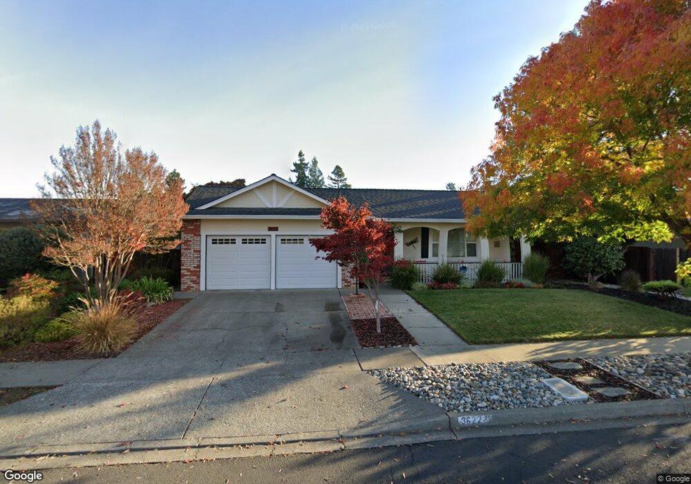
3622 Ruston Ln Napa, CA 94558
Linda Vista NeighborhoodEstimated Value: $843,412 - $993,000
4
Beds
2
Baths
1,767
Sq Ft
$516/Sq Ft
Est. Value
About This Home
This home is located at 3622 Ruston Ln, Napa, CA 94558 and is currently estimated at $911,103, approximately $515 per square foot. 3622 Ruston Ln is a home located in Napa County with nearby schools including Northwood Elementary School, Redwood Middle School, and Vintage High School.
Ownership History
Date
Name
Owned For
Owner Type
Purchase Details
Closed on
Dec 18, 1997
Sold by
Shore & Co Investors
Bought by
Christian Michael S and Christian Laura L
Current Estimated Value
Home Financials for this Owner
Home Financials are based on the most recent Mortgage that was taken out on this home.
Original Mortgage
$137,000
Outstanding Balance
$23,035
Interest Rate
7.16%
Estimated Equity
$888,068
Create a Home Valuation Report for This Property
The Home Valuation Report is an in-depth analysis detailing your home's value as well as a comparison with similar homes in the area
Home Values in the Area
Average Home Value in this Area
Purchase History
| Date | Buyer | Sale Price | Title Company |
|---|---|---|---|
| Christian Michael S | $194,500 | Fidelity National Title Co |
Source: Public Records
Mortgage History
| Date | Status | Borrower | Loan Amount |
|---|---|---|---|
| Open | Christian Michael S | $137,000 |
Source: Public Records
Tax History
| Year | Tax Paid | Tax Assessment Tax Assessment Total Assessment is a certain percentage of the fair market value that is determined by local assessors to be the total taxable value of land and additions on the property. | Land | Improvement |
|---|---|---|---|---|
| 2025 | $4,220 | $310,540 | $135,711 | $174,829 |
| 2024 | $4,097 | $304,451 | $133,050 | $171,401 |
| 2023 | $4,097 | $298,483 | $130,442 | $168,041 |
| 2022 | $3,984 | $292,632 | $127,885 | $164,747 |
| 2021 | $3,932 | $286,895 | $125,378 | $161,517 |
| 2020 | $3,905 | $283,954 | $124,093 | $159,861 |
| 2019 | $3,816 | $278,387 | $121,660 | $156,727 |
| 2018 | $3,751 | $272,929 | $119,275 | $153,654 |
| 2017 | $3,661 | $267,579 | $116,937 | $150,642 |
| 2016 | $3,552 | $262,334 | $114,645 | $147,689 |
| 2015 | $3,306 | $258,394 | $112,923 | $145,471 |
| 2014 | $3,252 | $253,333 | $110,711 | $142,622 |
Source: Public Records
Map
Nearby Homes
- 2535 Patricia Dr
- 2513 Rigdon St
- 2510 Redwood Rd
- 3583 Jomar Dr
- 3932 Montrose St
- 3996 Young Ave
- 12 Nicholas Ct
- 3273 Macfadden St
- 3209 Macfadden St
- 3770 Dover St
- 4078 Tokay Dr
- 2941 Brookwood Dr
- 2138 Devonshire Dr
- 2312 Kathleen Dr
- 2239 Redwood Rd Unit A,B,C
- 2539 Rollingwood Dr
- 35 Forest Ln
- 325 Cecile Ct
- 1125 Westview Dr
- 320 Cecile Ct
Your Personal Tour Guide
Ask me questions while you tour the home.