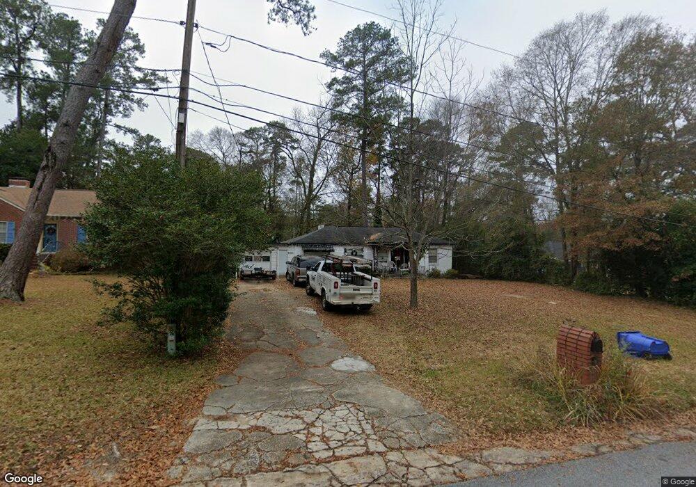
3624 E Britt David Rd Columbus, GA 31909
North Columbus NeighborhoodEstimated Value: $118,000 - $185,000
3
Beds
2
Baths
1,500
Sq Ft
$98/Sq Ft
Est. Value
About This Home
This home is located at 3624 E Britt David Rd, Columbus, GA 31909 and is currently estimated at $146,431, approximately $97 per square foot. 3624 E Britt David Rd is a home located in Muscogee County with nearby schools including Gentian Elementary School, Midland Middle School, and Hardaway High School.
Ownership History
Date
Name
Owned For
Owner Type
Purchase Details
Closed on
Sep 16, 2015
Sold by
Philips Constance S
Bought by
Csp Investments Llc
Current Estimated Value
Purchase Details
Closed on
Sep 2, 2014
Sold by
Bass Miranda
Bought by
Nationstar Mtg Llc
Purchase Details
Closed on
Feb 8, 2008
Sold by
Lawson William J and Lawson Helga
Bought by
Bass Miranda
Home Financials for this Owner
Home Financials are based on the most recent Mortgage that was taken out on this home.
Original Mortgage
$109,000
Interest Rate
6.06%
Mortgage Type
FHA
Create a Home Valuation Report for This Property
The Home Valuation Report is an in-depth analysis detailing your home's value as well as a comparison with similar homes in the area
Home Values in the Area
Average Home Value in this Area
Purchase History
| Date | Buyer | Sale Price | Title Company |
|---|---|---|---|
| Csp Investments Llc | -- | -- | |
| Phillips Constance S | $33,000 | -- | |
| Nationstar Mtg Llc | $107,145 | -- | |
| Sec Of Housing & Urban D | $105,596 | -- | |
| Bass Miranda | $110,720 | None Available |
Source: Public Records
Mortgage History
| Date | Status | Borrower | Loan Amount |
|---|---|---|---|
| Previous Owner | Bass Miranda | $109,000 |
Source: Public Records
Tax History
| Year | Tax Paid | Tax Assessment Tax Assessment Total Assessment is a certain percentage of the fair market value that is determined by local assessors to be the total taxable value of land and additions on the property. | Land | Improvement |
|---|---|---|---|---|
| 2025 | $944 | $33,152 | $7,128 | $26,024 |
| 2024 | $944 | $24,118 | $7,128 | $16,990 |
| 2023 | $950 | $24,118 | $7,128 | $16,990 |
| 2022 | $808 | $30,316 | $7,128 | $23,188 |
| 2021 | $808 | $19,780 | $7,128 | $12,652 |
| 2020 | $808 | $19,780 | $7,128 | $12,652 |
| 2019 | $746 | $18,200 | $5,460 | $12,740 |
| 2018 | $746 | $18,200 | $5,460 | $12,740 |
| 2017 | $748 | $18,200 | $5,460 | $12,740 |
| 2016 | $545 | $13,200 | $3,426 | $9,774 |
| 2015 | $743 | $45,000 | $11,679 | $33,321 |
| 2014 | -- | $45,000 | $11,679 | $33,321 |
| 2013 | -- | $45,000 | $11,679 | $33,321 |
Source: Public Records
Map
Nearby Homes
- 3630 Vernon Dr
- 3514 Vernon Dr
- 3504 Vernon Dr
- 5408 Moon Rd
- 5502 Southlea Ln
- 5224 Miller Rd
- 4151 Anglin Rd
- 5820 Windsor Dr
- 4230 Carlene Dr
- 4102 Norwood Dr
- 5836 Sherborne Dr
- 3790 Graham Way
- 4630 Fairview Dr
- 3091 Mustang Dr
- 3935 Tifton Dr
- 5829 Moon Rd
- 4133 Pickering Dr
- 5921 Canterbury Dr
- 3342 Windermere St
- 4004 Tifton Dr
- 3618 E Britt David Rd
- 3632 E Britt David Rd
- 5287 Boyd Dr
- 5263 Boyd Dr
- 3612 E Britt David Rd
- 3608 E Britt David Rd
- 3625 E Britt David Rd
- 3615 E Britt David Rd
- 3701 E Britt David Rd
- 3609 E Britt David Rd
- 3707 E Britt David Rd
- 5320 Boyd Dr
- 3712 E Britt David Rd
- 5284 Boyd Dr
- 5251 Boyd Dr
- 5272 Boyd Dr
- 5226 Boyd Dr
- 5278 Boyd Dr
- 3601 E Britt David Rd
- 0 Boyd Branch Dr Unit 4 8005092
Your Personal Tour Guide
Ask me questions while you tour the home.