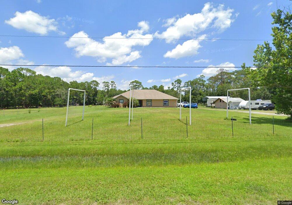
3625 Darby Rd New Smyrna Beach, FL 32168
Samsula-Spruce Creek NeighborhoodEstimated Value: $725,000 - $820,700
4
Beds
3
Baths
2,655
Sq Ft
$286/Sq Ft
Est. Value
About This Home
This home is located at 3625 Darby Rd, New Smyrna Beach, FL 32168 and is currently estimated at $758,567, approximately $285 per square foot. 3625 Darby Rd is a home located in Volusia County with nearby schools including Cypress Creek Elementary School, Creekside Middle School, and New Smyrna Beach High School.
Ownership History
Date
Name
Owned For
Owner Type
Purchase Details
Closed on
Feb 20, 2018
Sold by
Armstrong Wendy and Hart Wendy Armstrong
Bought by
Budd Charles R
Current Estimated Value
Purchase Details
Closed on
Jun 30, 2006
Sold by
Budd Charles R
Bought by
Budd Charles R and Armstrong Wendy
Purchase Details
Closed on
Jun 13, 2003
Sold by
Merkle Barbara C and Douglas Barbara C
Bought by
Budd Charles R
Home Financials for this Owner
Home Financials are based on the most recent Mortgage that was taken out on this home.
Original Mortgage
$65,267
Interest Rate
5.56%
Mortgage Type
Purchase Money Mortgage
Purchase Details
Closed on
Apr 15, 1983
Bought by
Budd Charles R
Purchase Details
Closed on
Jul 15, 1981
Bought by
Budd Charles R
Purchase Details
Closed on
Jan 15, 1973
Bought by
Budd Charles R
Create a Home Valuation Report for This Property
The Home Valuation Report is an in-depth analysis detailing your home's value as well as a comparison with similar homes in the area
Home Values in the Area
Average Home Value in this Area
Purchase History
| Date | Buyer | Sale Price | Title Company |
|---|---|---|---|
| Budd Charles R | -- | Attorney | |
| Budd Charles R | -- | None Available | |
| Budd Charles R | $80,000 | -- | |
| Budd Charles R | $100 | -- | |
| Budd Charles R | $8,300 | -- | |
| Budd Charles R | $4,000 | -- |
Source: Public Records
Mortgage History
| Date | Status | Borrower | Loan Amount |
|---|---|---|---|
| Previous Owner | Budd Charles R | $65,267 |
Source: Public Records
Tax History Compared to Growth
Tax History
| Year | Tax Paid | Tax Assessment Tax Assessment Total Assessment is a certain percentage of the fair market value that is determined by local assessors to be the total taxable value of land and additions on the property. | Land | Improvement |
|---|---|---|---|---|
| 2025 | $4,330 | $281,271 | -- | -- |
| 2024 | $4,330 | $273,386 | -- | -- |
| 2023 | $4,330 | $265,383 | $0 | $0 |
| 2022 | $3,796 | $235,603 | $0 | $0 |
| 2021 | $3,906 | $228,781 | $0 | $0 |
| 2020 | $3,844 | $225,641 | $0 | $0 |
| 2019 | $3,925 | $220,599 | $0 | $0 |
| 2018 | $3,894 | $216,511 | $0 | $0 |
| 2017 | $3,943 | $212,087 | $0 | $0 |
| 2016 | $4,068 | $207,753 | $0 | $0 |
| 2015 | $4,171 | $206,318 | $0 | $0 |
| 2014 | $4,113 | $204,691 | $0 | $0 |
Source: Public Records
Map
Nearby Homes
- 3625 Pioneer Trail
- 652 Airport Rd
- 0 Charles St
- 1923 Mendocino Ln
- 6804 Forkmead Ln
- 6808 Forkmead Ln
- 3606 Maribella Dr
- 3615 Marisol Ct
- 3610 Marisol Ct
- 3611 Marisol Ct
- 3583 Maribella Dr
- 2134 Springwater Ln
- 816 Russell Rd
- 594 Marisol Dr
- 1832 Afshin Ct
- 7093 SE 113th Ln
- 3589 Grande Tuscany Way
- 816 Russell Rd
- 1804 Creekwater Blvd
- 1821 Creekwater Blvd
- 3645 Darby Rd
- 705 Lost Tree Trail
- 3605 Darby Rd
- 3658 Branch
- 3658 Branch Crossing Rd
- 685 Airport Rd
- 721 Lost Tree Trail
- 695 Airport Rd
- 3635 Pioneer Trail
- 722 Airport Rd
- 3665 Darby Rd
- 652 Airport Rd
- 3672 Branch Crossing Rd
- 3680 Branch Crossing Rd
- 0 Branch Unit O5903465
- 0 Branch Unit 1036818
- 3585 Pioneer Trail
- 3632 Charles St
- 1936 Mendocino Ln
- 1934 Mendocino Ln