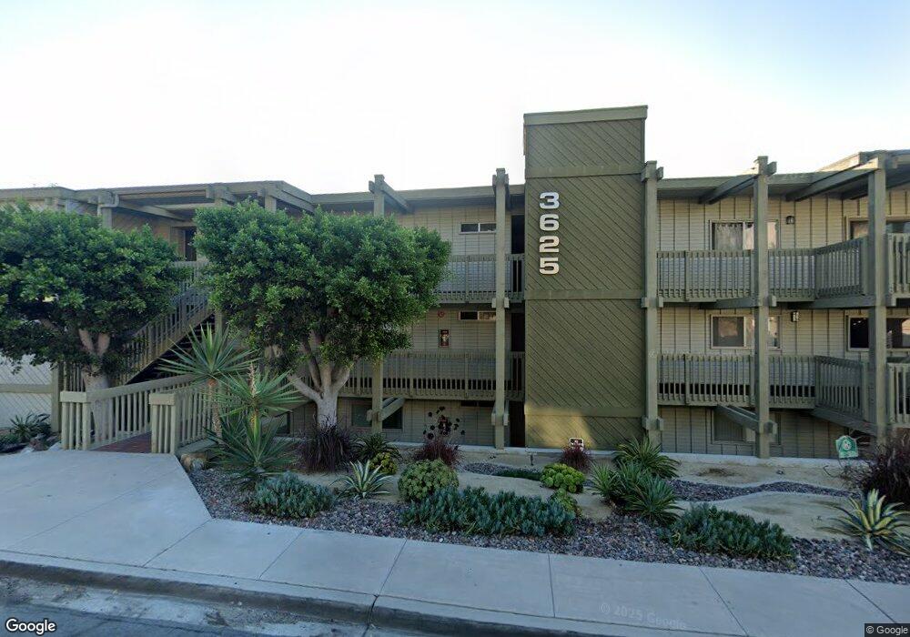
3625 Keating St Unit 12 San Diego, CA 92110
Mission Hills NeighborhoodEstimated Value: $510,516 - $608,000
1
Bed
1
Bath
786
Sq Ft
$710/Sq Ft
Est. Value
About This Home
This home is located at 3625 Keating St Unit 12, San Diego, CA 92110 and is currently estimated at $558,379, approximately $710 per square foot. 3625 Keating St Unit 12 is a home located in San Diego County with nearby schools including Grant K-8, Richard Henry Dana Middle School, and Roosevelt International Middle School.
Ownership History
Date
Name
Owned For
Owner Type
Purchase Details
Closed on
Sep 6, 2019
Sold by
Cilch Jeanene Marie
Bought by
Cilch Jeanene Marie
Current Estimated Value
Purchase Details
Closed on
Oct 30, 1992
Bought by
Cilch Jeanene M
Create a Home Valuation Report for This Property
The Home Valuation Report is an in-depth analysis detailing your home's value as well as a comparison with similar homes in the area
Home Values in the Area
Average Home Value in this Area
Purchase History
| Date | Buyer | Sale Price | Title Company |
|---|---|---|---|
| Cilch Jeanene Marie | -- | None Available | |
| Cilch Jeanene M | $87,500 | -- |
Source: Public Records
Tax History Compared to Growth
Tax History
| Year | Tax Paid | Tax Assessment Tax Assessment Total Assessment is a certain percentage of the fair market value that is determined by local assessors to be the total taxable value of land and additions on the property. | Land | Improvement |
|---|---|---|---|---|
| 2025 | $1,858 | $151,662 | $60,660 | $91,002 |
| 2024 | $1,858 | $148,689 | $59,471 | $89,218 |
| 2023 | $1,817 | $145,774 | $58,305 | $87,469 |
| 2022 | $1,769 | $142,916 | $57,162 | $85,754 |
| 2021 | $1,757 | $140,115 | $56,042 | $84,073 |
| 2020 | $1,736 | $138,679 | $55,468 | $83,211 |
| 2019 | $1,705 | $135,961 | $54,381 | $81,580 |
| 2018 | $1,596 | $133,296 | $53,315 | $79,981 |
| 2017 | $1,558 | $130,683 | $52,270 | $78,413 |
| 2016 | $1,533 | $128,122 | $51,246 | $76,876 |
| 2015 | $1,510 | $126,199 | $50,477 | $75,722 |
| 2014 | $1,487 | $123,728 | $49,489 | $74,239 |
Source: Public Records
Map
Nearby Homes
- 3625 Keating St Unit 4
- 1670 Guy St Unit B
- 1654 Linwood St
- 1806 Mckee St Unit A2
- 1806 Mckee St Unit A9
- 1828 Linwood St Unit 1
- 1694 Torrance St
- 1695 Neale St
- 3686 Columbia St
- 1405 Torrance St
- 1750 Washington Place
- 1705 Glenwood Dr Unit 15
- 3635 Kite St
- 1818 Sunset Blvd
- 3505 Ibis St
- 1728 W Lewis St
- 1004 W Walnut Ave
- 0 Bush St Unit (35-38) 240005385
- 1860 W Montecito Way
- 3320 Horton Ave
- 3625 Keating St Unit Harbor Lights II
- 3625 Keating St Unit 15
- 3625 Keating St Unit 14
- 3625 Keating St Unit 13
- 3625 Keating St Unit 11
- 3625 Keating St Unit 10
- 3625 Keating St Unit 9
- 3625 Keating St Unit 8
- 3625 Keating St Unit 7
- 3625 Keating St Unit 6
- 3625 Keating St Unit 5
- 3625 Keating St Unit 3
- 3625 Keating St Unit 2
- 3625 Keating St Unit 1
- 3613 Keating St
- 3609 Keating St Unit 3611
- 3609 Keating St
- 3611 Keating St
- 3615 Keating St
- 3605 Keating St