3625 Morningside Cir Springfield, OH 45502
Estimated Value: $366,000 - $501,000
4
Beds
3
Baths
2,310
Sq Ft
$187/Sq Ft
Est. Value
About This Home
This home is located at 3625 Morningside Cir, Springfield, OH 45502 and is currently estimated at $432,253, approximately $187 per square foot. 3625 Morningside Cir is a home located in Clark County with nearby schools including Northridge Elementary School, Kenton Ridge Middle & High School, and Emmanuel Christian Academy.
Ownership History
Date
Name
Owned For
Owner Type
Purchase Details
Closed on
Nov 29, 2013
Sold by
Mowder Denise Lynn and Stickford Denise Lynn
Bought by
Stickford James A and Stickford James Alan
Current Estimated Value
Home Financials for this Owner
Home Financials are based on the most recent Mortgage that was taken out on this home.
Original Mortgage
$65,000
Interest Rate
4.1%
Mortgage Type
Purchase Money Mortgage
Create a Home Valuation Report for This Property
The Home Valuation Report is an in-depth analysis detailing your home's value as well as a comparison with similar homes in the area
Home Values in the Area
Average Home Value in this Area
Purchase History
| Date | Buyer | Sale Price | Title Company |
|---|---|---|---|
| Stickford James A | -- | Sterling Land Title Agency I |
Source: Public Records
Mortgage History
| Date | Status | Borrower | Loan Amount |
|---|---|---|---|
| Closed | Stickford James A | $65,000 |
Source: Public Records
Tax History
| Year | Tax Paid | Tax Assessment Tax Assessment Total Assessment is a certain percentage of the fair market value that is determined by local assessors to be the total taxable value of land and additions on the property. | Land | Improvement |
|---|---|---|---|---|
| 2025 | $4,492 | $131,790 | $21,140 | $110,650 |
| 2024 | $4,347 | $100,520 | $22,470 | $78,050 |
| 2023 | $4,347 | $100,520 | $22,470 | $78,050 |
| 2022 | $4,363 | $100,520 | $22,470 | $78,050 |
| 2021 | $4,287 | $83,690 | $18,420 | $65,270 |
| 2020 | $4,291 | $83,690 | $18,420 | $65,270 |
| 2019 | $4,373 | $83,690 | $18,420 | $65,270 |
| 2018 | $4,079 | $74,900 | $14,740 | $60,160 |
| 2017 | $3,511 | $74,557 | $14,735 | $59,822 |
| 2016 | $3,487 | $74,557 | $14,735 | $59,822 |
| 2015 | $3,578 | $80,486 | $14,735 | $65,751 |
| 2014 | $3,578 | $80,486 | $14,735 | $65,751 |
| 2013 | $3,497 | $80,486 | $14,735 | $65,751 |
Source: Public Records
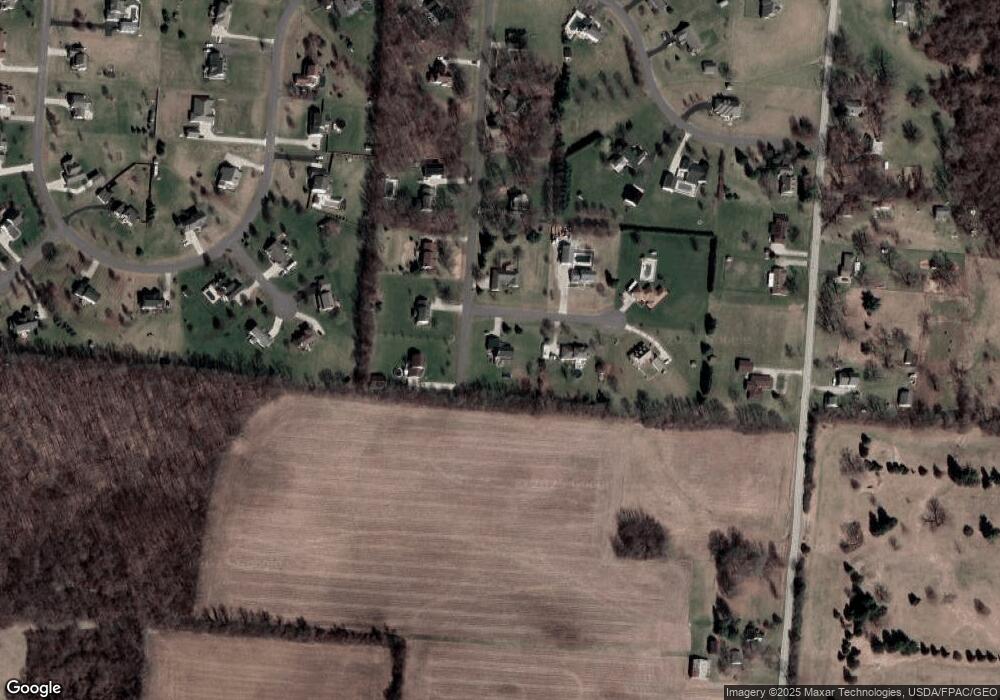
Map
Nearby Homes
- 5060 Morris Rd
- 4273 Kay Ave
- 4500 Bosart Rd
- 1977 Willoughby Ave
- 4890 Brannan Dr W Unit 4890
- 4607 Plateau Dr S
- 4732 Lehigh Dr
- 5564 Ridgewood Rd E Unit 7
- 1470 Oldham Dr Unit 12
- 1521 Erika Dr
- 4652 Reno Ln Unit 15
- 1398 Elizabeth Ct Unit 66
- 5033 Ridgewood Rd E
- 1495 Victorian Way
- 4577 Reno Ln Unit 2
- 5564 Ridgewood Rd W
- 4028 Ryland Dr Unit 4028
- 5235 W Ridgewood Rd
- 4446 Ridgewood Rd E Unit 3
- 4954 E County Line Rd
- 3897 Morningside Cir
- 5523 Breezewood St
- 3620 Morningside Cir
- 5557 Breezewood St
- 3980 Morningside Cir
- 5595 Breezewood St
- 3971 Morningside Cir
- 3984 Morningside Cir
- 5610 Breezewood St
- 5556 Anson Place
- 5631 Breezewood St
- 5524 Anson Place
- 3869 Windy Ridge Dr
- 5660 Breezewood St
- 5584 Anson Place
- 5515 Morris Rd
- 3176 Windy Ridge Dr
- 5535 Anson Place
- 3933 Windy Ridge Dr
- 5575 Morris Rd
Your Personal Tour Guide
Ask me questions while you tour the home.