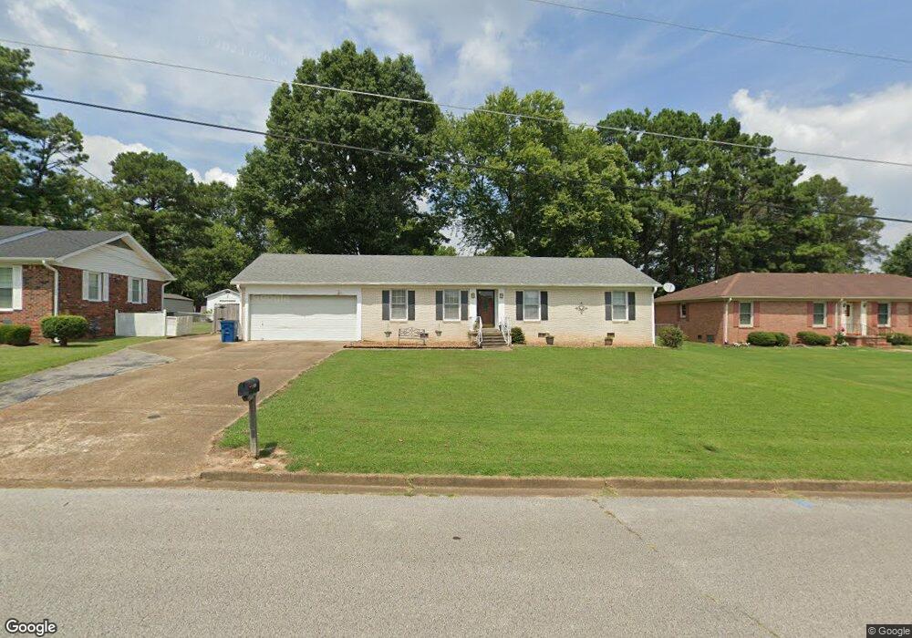
3625 Ray Dr Humboldt, TN 38343
Estimated Value: $168,000 - $241,000
3
Beds
2
Baths
2,007
Sq Ft
$106/Sq Ft
Est. Value
About This Home
This home is located at 3625 Ray Dr, Humboldt, TN 38343 and is currently estimated at $213,525, approximately $106 per square foot. 3625 Ray Dr is a home located in Gibson County with nearby schools including Stigall Primary School, East Elementary School, and Humboldt Middle School.
Ownership History
Date
Name
Owned For
Owner Type
Purchase Details
Closed on
Dec 5, 2022
Sold by
Hayes Jesse Howard and Hayes Sandra R
Bought by
Murphy Richard Louis and Murphy Debbra I
Current Estimated Value
Purchase Details
Closed on
Jun 15, 2011
Sold by
Regions Bank
Bought by
Charles P Wilson Foundation In
Purchase Details
Closed on
Jun 18, 2009
Sold by
Coffman Charles M
Bought by
Regions Bank
Purchase Details
Closed on
Sep 24, 1993
Bought by
Coffman Charles M and Coffman Patricia A
Purchase Details
Closed on
Jan 1, 1984
Bought by
Gregory Michael W and Gregory Shirley
Create a Home Valuation Report for This Property
The Home Valuation Report is an in-depth analysis detailing your home's value as well as a comparison with similar homes in the area
Home Values in the Area
Average Home Value in this Area
Purchase History
| Date | Buyer | Sale Price | Title Company |
|---|---|---|---|
| Murphy Richard Louis | $118,250 | -- | |
| Charles P Wilson Foundation In | $47,000 | -- | |
| Regions Bank | $86,032 | -- | |
| Coffman Charles M | $80,000 | -- | |
| Gregory Michael W | $59,500 | -- |
Source: Public Records
Tax History Compared to Growth
Tax History
| Year | Tax Paid | Tax Assessment Tax Assessment Total Assessment is a certain percentage of the fair market value that is determined by local assessors to be the total taxable value of land and additions on the property. | Land | Improvement |
|---|---|---|---|---|
| 2025 | $1,489 | $54,950 | $0 | $0 |
| 2024 | $1,489 | $54,950 | $5,000 | $49,950 |
| 2023 | $271 | $24,600 | $3,000 | $21,600 |
| 2022 | $254 | $24,600 | $3,000 | $21,600 |
| 2021 | $254 | $24,600 | $3,000 | $21,600 |
| 2020 | $926 | $24,600 | $3,000 | $21,600 |
| 2019 | $926 | $24,600 | $3,000 | $21,600 |
| 2018 | $978 | $24,100 | $3,000 | $21,100 |
| 2017 | $966 | $24,100 | $3,000 | $21,100 |
| 2016 | $970 | $24,200 | $3,000 | $21,200 |
| 2015 | $962 | $24,200 | $3,000 | $21,200 |
| 2014 | $962 | $24,200 | $3,000 | $21,200 |
Source: Public Records
Map
Nearby Homes
- 1110 Woodgate Dr
- 1549 Eastview Dr
- 1320 Eastview Dr
- 3115 Redwood St
- 0 Eastend Dr
- 3117 Laurel St
- 1211 N 29th Ave
- 1012 Parkway Cove
- 00 Pleasant Hill St
- 1338 Dungan St
- 00000 Lot 7 Mullins St
- 0000 lot 6-C Mullins St
- 000Lot 6-B Mullins St
- 00-lot 6-A Mullins St
- 700 N 29th Ave
- 600 Hwy 45 Bypass
- 2900 E Mitchell St
- 2310 Dodson St
- 604 Hillside Dr
- 2508 Vine St