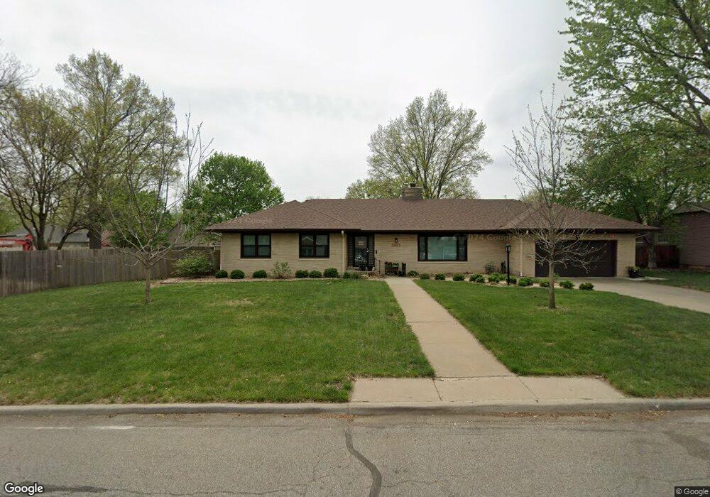
3625 SW Drury Ln Topeka, KS 66604
Westboro NeighborhoodEstimated Value: $391,000 - $534,000
4
Beds
4
Baths
3,587
Sq Ft
$124/Sq Ft
Est. Value
About This Home
This home is located at 3625 SW Drury Ln, Topeka, KS 66604 and is currently estimated at $445,602, approximately $124 per square foot. 3625 SW Drury Ln is a home located in Shawnee County with nearby schools including Whitson Elementary School, Landon Middle School, and Topeka West High School.
Ownership History
Date
Name
Owned For
Owner Type
Purchase Details
Closed on
Mar 22, 2023
Sold by
Hans Raymond Scott
Bought by
Raymond Amy
Current Estimated Value
Purchase Details
Closed on
Jul 22, 2011
Sold by
Roe Kevin Scott and Martin Deborah Christine
Bought by
Raymond Scott H and Raymond Amy S
Home Financials for this Owner
Home Financials are based on the most recent Mortgage that was taken out on this home.
Original Mortgage
$209,000
Interest Rate
4.53%
Mortgage Type
New Conventional
Purchase Details
Closed on
Oct 5, 2005
Sold by
Lewis Kyle B and Lewis Dayna L
Bought by
Roe Kevin Scott and Martin Deborah Christine
Home Financials for this Owner
Home Financials are based on the most recent Mortgage that was taken out on this home.
Original Mortgage
$165,500
Interest Rate
5.69%
Mortgage Type
New Conventional
Create a Home Valuation Report for This Property
The Home Valuation Report is an in-depth analysis detailing your home's value as well as a comparison with similar homes in the area
Home Values in the Area
Average Home Value in this Area
Purchase History
| Date | Buyer | Sale Price | Title Company |
|---|---|---|---|
| Raymond Amy | -- | -- | |
| Raymond Scott H | -- | Capital Title Insurance Comp | |
| Roe Kevin Scott | -- | Capital Title Insurace Compa |
Source: Public Records
Mortgage History
| Date | Status | Borrower | Loan Amount |
|---|---|---|---|
| Previous Owner | Raymond Scott H | $209,000 | |
| Previous Owner | Roe Kevin Scott | $165,500 |
Source: Public Records
Tax History Compared to Growth
Tax History
| Year | Tax Paid | Tax Assessment Tax Assessment Total Assessment is a certain percentage of the fair market value that is determined by local assessors to be the total taxable value of land and additions on the property. | Land | Improvement |
|---|---|---|---|---|
| 2025 | $6,783 | $49,510 | -- | -- |
| 2023 | $6,783 | $44,063 | $0 | $0 |
| 2022 | $6,046 | $39,697 | $0 | $0 |
| 2021 | $5,730 | $36,088 | $0 | $0 |
| 2020 | $5,501 | $35,037 | $0 | $0 |
| 2019 | $5,372 | $34,017 | $0 | $0 |
| 2018 | $5,219 | $33,026 | $0 | $0 |
| 2017 | $4,979 | $31,453 | $0 | $0 |
| 2014 | $5,028 | $31,453 | $0 | $0 |
Source: Public Records
Map
Nearby Homes
- 3636 SW Stratford Rd
- 1533 SW Stratford Rd
- 4401 SW Connemara Ln
- 4405 SW Connemara Ln
- 1625 SW Lakeside Dr
- 4200 SW Stratford Rd
- 3516 SW Avalon Ln
- 3405 SW Huntoon St
- 4221 SW 17th St
- 1421 SW Mcalister Ave
- 3100 SW Canterbury Ln
- 1520 SW Oakley Ave
- 1225 SW Lakeside Dr
- 1274 SW Indian Trail Ct
- 4230 SW 19th St
- 1212 SW New Forest Dr
- 2812 SW Huntoon St
- 2024 SW Stone Ave
- 2028 SW Stone Ave
- 2012 SW Westwood Dr
- 3633 SW Drury Ln
- 3616 SW Windsor Ct
- 1531 SW Westover Rd
- 3624 SW Windsor Ct
- 3620 SW Drury Ln
- 1541 SW Westover Rd
- 3630 SW Drury Ln
- 1242 Approx SW Warren Ave
- 3811 SW Chelmsf SW Garfield Ave
- 3641 SW Drury Ln
- S.E 69th Null
- 3632 SW Windsor Ct
- 3640 SW Drury Ln
- 3627 SW 15th St
- 3635 SW 15th St
- 3621 SW Windsor Ct
- 1501 SW Westover Rd
- 3625 SW Windsor Ct
- 3641 SW 15th St
- 1551 SW Westover Rd