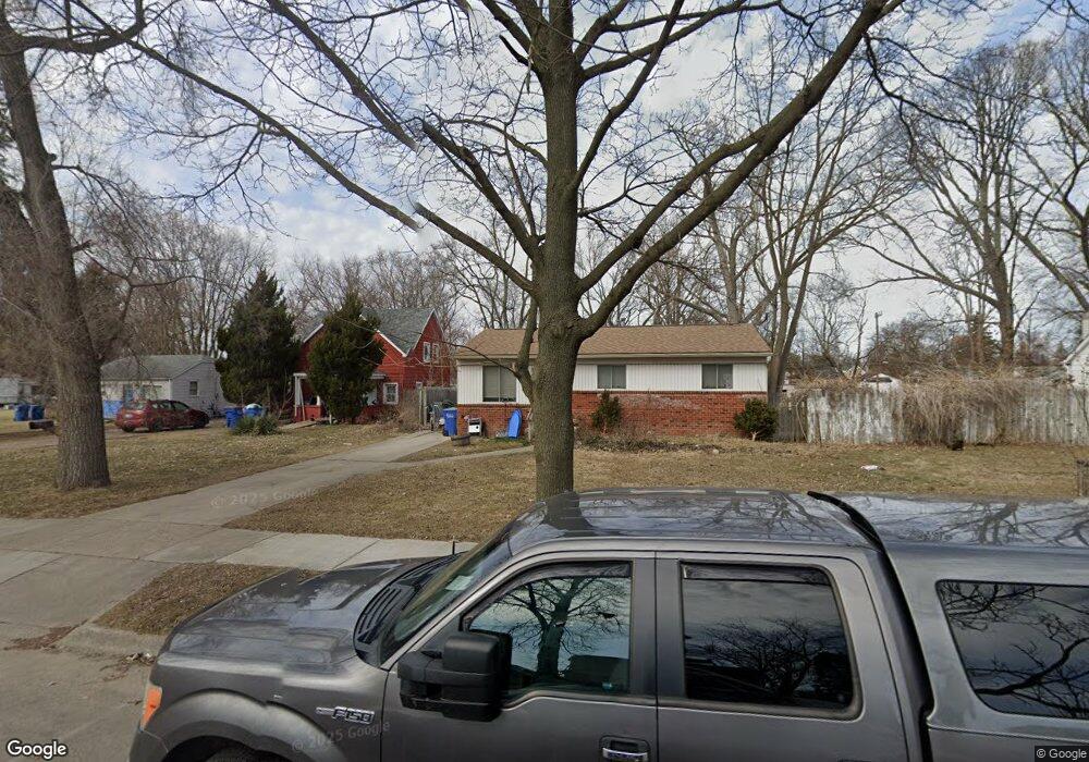
3625 Wasmund Ave Warren, MI 48091
Southwest Warren NeighborhoodEstimated Value: $124,000 - $133,713
3
Beds
2
Baths
888
Sq Ft
$144/Sq Ft
Est. Value
About This Home
This home is located at 3625 Wasmund Ave, Warren, MI 48091 and is currently estimated at $127,678, approximately $143 per square foot. 3625 Wasmund Ave is a home located in Macomb County with nearby schools including Schofield Elementary School, Mound Park Elementary School, and Westview Elementary School.
Ownership History
Date
Name
Owned For
Owner Type
Purchase Details
Closed on
Mar 26, 2014
Sold by
Kurpas John L and Kurpa Elizabeth Ann
Bought by
Kurpas John L and Kurpas Elizabeth Ann
Current Estimated Value
Home Financials for this Owner
Home Financials are based on the most recent Mortgage that was taken out on this home.
Original Mortgage
$75,482
Outstanding Balance
$57,316
Interest Rate
4.31%
Mortgage Type
FHA
Estimated Equity
$70,362
Purchase Details
Closed on
Sep 29, 2004
Sold by
Pinkley Diana M
Bought by
Kurpas John L
Create a Home Valuation Report for This Property
The Home Valuation Report is an in-depth analysis detailing your home's value as well as a comparison with similar homes in the area
Home Values in the Area
Average Home Value in this Area
Purchase History
| Date | Buyer | Sale Price | Title Company |
|---|---|---|---|
| Kurpas John L | -- | Servicelink | |
| Kurpas John L | $89,900 | Metropolitan Title Company |
Source: Public Records
Mortgage History
| Date | Status | Borrower | Loan Amount |
|---|---|---|---|
| Open | Kurpas John L | $75,482 |
Source: Public Records
Tax History Compared to Growth
Tax History
| Year | Tax Paid | Tax Assessment Tax Assessment Total Assessment is a certain percentage of the fair market value that is determined by local assessors to be the total taxable value of land and additions on the property. | Land | Improvement |
|---|---|---|---|---|
| 2025 | $1,345 | $58,810 | $0 | $0 |
| 2024 | $1,309 | $50,170 | $0 | $0 |
| 2023 | $1,238 | $46,130 | $0 | $0 |
| 2022 | $1,169 | $31,260 | $0 | $0 |
| 2021 | $1,215 | $29,990 | $0 | $0 |
| 2020 | $1,220 | $29,820 | $0 | $0 |
| 2019 | $1,092 | $29,990 | $0 | $0 |
| 2018 | $1,145 | $23,560 | $0 | $0 |
| 2017 | $1,079 | $23,340 | $3,400 | $19,940 |
| 2016 | $1,011 | $23,340 | $0 | $0 |
| 2015 | -- | $22,210 | $0 | $0 |
| 2013 | $1,021 | $19,050 | $0 | $0 |
Source: Public Records
Map
Nearby Homes
- 3641 Berkshire Ave
- 3900 Berkshire Ave
- 3167 Berkshire Ave
- 20731 Bartholomaei Ave
- 3925 Toepfer Rd
- 21299 Sunset Ave
- 20499 Yonka St
- 20491 Klinger St
- 20499 Binder St
- 23420 Harned St Unit 1
- 23421 Harned St Unit 4
- 23429 Harned St Unit 5
- 23485 Harned St Unit 10
- 3850 Jarvis Ave
- 20209 Revere St
- 20246 Binder St
- 20201 Yonka St
- 20270 Dean Ave
- 20161 Yonka St
- 20156 Gallagher St
- 3605 Wasmund Ave
- 3685 Wasmund Ave
- 3585 Wasmund Ave
- 3693 Wasmund Ave
- 3535 Wasmund Ave
- 3700 Berkshire Ave
- 3610 Wasmund Ave
- 3668 Wasmund Ave
- 3760 Berkshire Ave
- 3564 Wasmund Ave
- 3729 Wasmund Ave
- 3640 Berkshire Ave
- 3784 Berkshire Ave
- 3509 Wasmund Ave
- 3534 Wasmund Ave
- 3734 Berkshire Ave
- 3700 Wasmund Ave
- 3612 Berkshire Ave
- 3666 Berkshire Ave
- 3518 Wasmund Ave