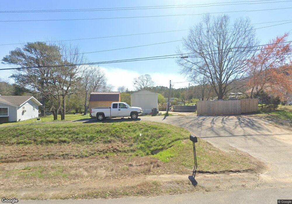
3626 Buchanan Hwy Cedartown, GA 30125
Estimated Value: $43,277 - $162,000
2
Beds
1
Bath
728
Sq Ft
$150/Sq Ft
Est. Value
About This Home
This home is located at 3626 Buchanan Hwy, Cedartown, GA 30125 and is currently estimated at $109,092, approximately $149 per square foot. 3626 Buchanan Hwy is a home.
Ownership History
Date
Name
Owned For
Owner Type
Purchase Details
Closed on
Jan 12, 2015
Sold by
Atkins Jeffery D *
Bought by
Atkins Jeffery D
Current Estimated Value
Purchase Details
Closed on
Oct 13, 1995
Sold by
Godwin John and Godwin Linda J
Bought by
Atkins Dennis
Purchase Details
Closed on
May 22, 1986
Sold by
Stroup Huel Wayne
Bought by
Godwin John and Godwin Linda
Purchase Details
Closed on
Feb 3, 1977
Sold by
Atkins Dennis C
Bought by
Stroup Huel Wayne
Purchase Details
Closed on
Aug 5, 1967
Sold by
Whitfield Wilburn
Bought by
Atkins Dennis C
Purchase Details
Closed on
Sep 17, 1963
Sold by
Roberts H L
Bought by
Whitfield Wilburn
Purchase Details
Closed on
Mar 7, 1960
Bought by
Roberts H L
Create a Home Valuation Report for This Property
The Home Valuation Report is an in-depth analysis detailing your home's value as well as a comparison with similar homes in the area
Home Values in the Area
Average Home Value in this Area
Purchase History
| Date | Buyer | Sale Price | Title Company |
|---|---|---|---|
| Atkins Jeffery D | -- | -- | |
| Atkins Dennis | $2,000 | -- | |
| Godwin John | -- | -- | |
| Stroup Huel Wayne | -- | -- | |
| Atkins Dennis C | -- | -- | |
| Whitfield Wilburn | -- | -- | |
| Roberts H L | -- | -- |
Source: Public Records
Tax History Compared to Growth
Tax History
| Year | Tax Paid | Tax Assessment Tax Assessment Total Assessment is a certain percentage of the fair market value that is determined by local assessors to be the total taxable value of land and additions on the property. | Land | Improvement |
|---|---|---|---|---|
| 2024 | $62 | $2,957 | $1,477 | $1,480 |
| 2023 | $62 | $7,135 | $0 | $7,135 |
| 2022 | $59 | $2,465 | $985 | $1,480 |
| 2021 | $59 | $2,465 | $985 | $1,480 |
| 2020 | $35 | $1,465 | $985 | $480 |
| 2019 | $39 | $8,242 | $0 | $8,242 |
| 2018 | $40 | $1,469 | $985 | $484 |
| 2017 | $40 | $1,469 | $985 | $484 |
| 2016 | $31 | $1,122 | $638 | $484 |
| 2015 | $31 | $1,122 | $638 | $484 |
| 2014 | $31 | $1,122 | $638 | $484 |
Source: Public Records
Map
Nearby Homes
- 0 Youngs Farm Rd Unit 24829378
- 0 Buchanan Hwy Unit 10558945
- 4550 Buchanan Hwy
- 4267 Buchanan Hwy
- 160 Tate Rd
- 525 Grogan Rd
- 539 Grogan Rd
- 557 Grogan Rd
- 00 Antioch Rd
- 95 Wieuca Way
- 0 Wieuca Way Unit 10614129
- 000 Wieuca Way
- 142 Acres On Judkin Mill Rd
- 00 Buchanan Hwy
- 766 Antioch Rd
- 1987 Buchanan Hwy
- 35 Old Mill Rd
- 497 Judkin Mill Rd
- 1870 Tallapoosa Hwy
- 7474 Highway 27
- 3625 Buchanan Hwy
- 3645 Buchanan Hwy
- 809 Youngs Farm Rd
- 3636 Buchanan Hwy
- 733 Youngs Farm Rd
- 0 Youngs Farm Rd
- 0 Youngs Valley Rd
- 00 Youngs Valley Rd
- 0 Youngs Farm Rd Unit 7473824
- 0 Youngs Farm Rd Unit 7084863
- 0 Youngs Farm Rd Unit 7436130
- 0 Youngs Farm Rd Unit 8609763
- 0 Youngs Farm Rd Unit 8457880
- 0 Youngs Farm Rd Unit 8089860
- 0 Youngs Farm Rd Unit 8038183
- 0 Youngs Farm Rd Unit 8454352
- 0 Youngs Farm Rd Unit 8434200
- 0 Youngs Farm Rd Unit 7052155
- 0 Youngs Farm Rd Unit 7127084
- 0 Youngs Farm Rd Unit 7233746