3627 Stonewall Ln Stevensville, MT 59870
Estimated Value: $686,000 - $903,000
3
Beds
2
Baths
1,968
Sq Ft
$382/Sq Ft
Est. Value
About This Home
This home is located at 3627 Stonewall Ln, Stevensville, MT 59870 and is currently estimated at $751,296, approximately $381 per square foot. 3627 Stonewall Ln is a home located in Ravalli County with nearby schools including Stevensville Elementary School, Stevensville Junior High School, and Stevensville High School.
Ownership History
Date
Name
Owned For
Owner Type
Purchase Details
Closed on
Aug 6, 2021
Sold by
Sieg Jr James W
Bought by
Sieg Sandra Rae
Current Estimated Value
Purchase Details
Closed on
Jul 14, 2021
Sold by
Rae Sieg Sandra
Bought by
James W Sieg Jr And Sondra Rae Sieg Family Tr and Rae Sondra
Purchase Details
Closed on
Aug 22, 2016
Bought by
Sieg James W and Sieg Sandra Rae
Home Financials for this Owner
Home Financials are based on the most recent Mortgage that was taken out on this home.
Original Mortgage
$160,200
Interest Rate
4.53%
Mortgage Type
New Conventional
Purchase Details
Closed on
Nov 27, 2006
Bought by
Sieg James W and Sondra Rae
Create a Home Valuation Report for This Property
The Home Valuation Report is an in-depth analysis detailing your home's value as well as a comparison with similar homes in the area
Home Values in the Area
Average Home Value in this Area
Purchase History
| Date | Buyer | Sale Price | Title Company |
|---|---|---|---|
| Sieg Sandra Rae | -- | -- | |
| James W Sieg Jr And Sondra Rae Sieg Family Tr | -- | Montana Elder Law Inc | |
| Sieg James W | -- | -- | |
| Sieg James W | -- | -- |
Source: Public Records
Mortgage History
| Date | Status | Borrower | Loan Amount |
|---|---|---|---|
| Previous Owner | Sieg James W | $160,200 |
Source: Public Records
Tax History Compared to Growth
Tax History
| Year | Tax Paid | Tax Assessment Tax Assessment Total Assessment is a certain percentage of the fair market value that is determined by local assessors to be the total taxable value of land and additions on the property. | Land | Improvement |
|---|---|---|---|---|
| 2025 | $2,020 | $565,200 | $0 | $0 |
| 2024 | $2,389 | $427,000 | $0 | $0 |
| 2023 | $2,398 | $427,000 | $0 | $0 |
| 2022 | $2,211 | $317,800 | $0 | $0 |
| 2021 | $2,399 | $317,800 | $0 | $0 |
| 2020 | $2,306 | $292,800 | $0 | $0 |
| 2019 | $2,285 | $292,800 | $0 | $0 |
| 2018 | $2,026 | $270,900 | $0 | $0 |
| 2017 | $1,899 | $270,900 | $0 | $0 |
| 2016 | $1,863 | $253,200 | $0 | $0 |
| 2015 | $1,869 | $253,200 | $0 | $0 |
| 2014 | $2,460 | $198,962 | $0 | $0 |
Source: Public Records
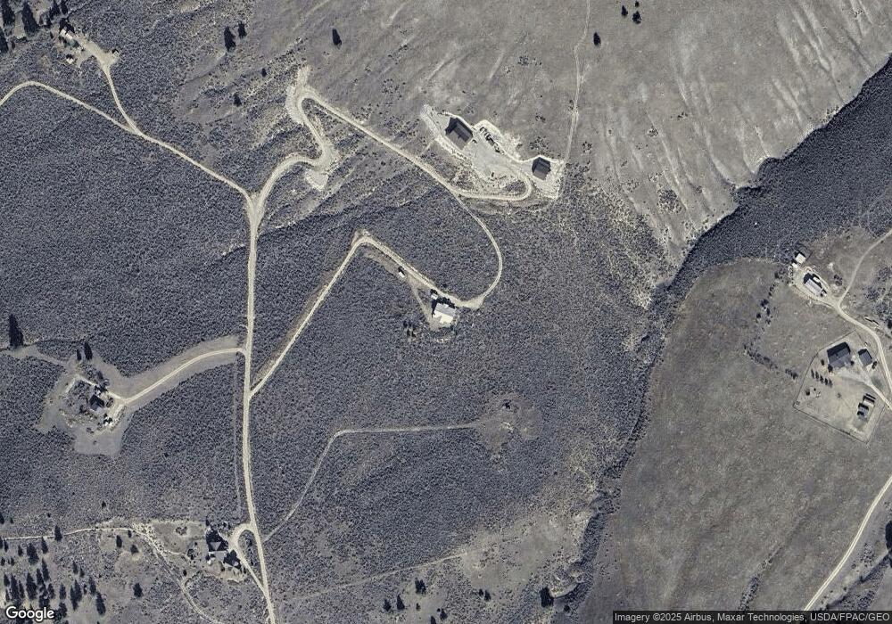
Map
Nearby Homes
- nhn Prosperity Heights Dr
- 1073 N Burnt Fork Rd
- 3661 Sagehill Dr
- Lot 32-A Drovers Trail
- Lot 2 Reed Butte Rd
- Parcel I Chase Ln
- Parcel A Chase Ln
- Parcel C Chase Ln
- 208 Barnwood Way
- 165 Barnwood Way
- 1071 Prairie Ln
- 999 Websters Way
- Parcel B Chase Ln
- 3340 Rome Ln
- 951 Summit View Way
- Nhn Sunnyside Cemetery Rd
- 1254 & 1256 Sheep Creek Rd
- 711 Middle Burnt Fork Rd
- 1127 Park Ln
- Lot 4 Bessie Ln
- 3631 Stonewall Ln
- 3622 Stonewall Ln
- 3624 Stonewall Ln
- 1274 Iron Cap Dr
- 3632 Stonewall Ln
- Nhn Iron Cap Dr
- 1257 Iron Cap Dr
- 1295 Iron Cap Dr
- 1348 Iron Cap Dr
- 1275 Iron Cap Dr
- 1229 Iron Cap Dr
- 1209 Iron Cap Dr
- 1450 Iron Cap Dr
- 1376 Iron Cap Dr
- 1432 Iron Cap Dr
- 1375 Iron Cap Dr
- Lot 16 Iron Cap Dr
- Lot 8 Iron Cap
- LOT 5 Iron Cap Dr
- 1652 Iron Cap Dr