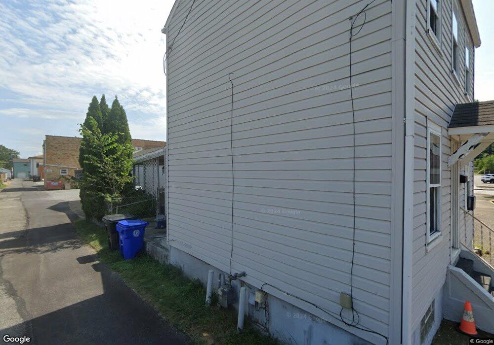
363 12th St Monaca, PA 15061
Estimated Value: $78,000 - $126,000
2
Beds
1
Bath
784
Sq Ft
$122/Sq Ft
Est. Value
About This Home
This home is located at 363 12th St, Monaca, PA 15061 and is currently estimated at $96,000, approximately $122 per square foot. 363 12th St is a home located in Beaver County with nearby schools including Center Grange Primary School, Todd Lane Elementary School, and Central Valley Middle School.
Ownership History
Date
Name
Owned For
Owner Type
Purchase Details
Closed on
Sep 27, 2019
Sold by
Carrier John L and Carrier Jodi A
Bought by
Lendrew Properties Llc
Current Estimated Value
Purchase Details
Closed on
Oct 11, 2016
Sold by
Michael Gulla
Bought by
Carrier Jodi and Carrier John
Home Financials for this Owner
Home Financials are based on the most recent Mortgage that was taken out on this home.
Original Mortgage
$33,000
Interest Rate
3.42%
Purchase Details
Closed on
Oct 26, 2005
Sold by
Makowiecki Nick
Bought by
Gulla Michael
Create a Home Valuation Report for This Property
The Home Valuation Report is an in-depth analysis detailing your home's value as well as a comparison with similar homes in the area
Home Values in the Area
Average Home Value in this Area
Purchase History
| Date | Buyer | Sale Price | Title Company |
|---|---|---|---|
| Lendrew Properties Llc | $42,458 | None Available | |
| Carrier Jodi | -- | -- | |
| Gulla Michael | $48,500 | -- |
Source: Public Records
Mortgage History
| Date | Status | Borrower | Loan Amount |
|---|---|---|---|
| Previous Owner | Carrier Jodi | $33,000 | |
| Previous Owner | Carrier Jodi | -- |
Source: Public Records
Tax History
| Year | Tax Paid | Tax Assessment Tax Assessment Total Assessment is a certain percentage of the fair market value that is determined by local assessors to be the total taxable value of land and additions on the property. | Land | Improvement |
|---|---|---|---|---|
| 2025 | $655 | $31,900 | $9,100 | $22,800 |
| 2024 | $1,158 | $31,900 | $9,100 | $22,800 |
| 2023 | $1,132 | $9,250 | $1,750 | $7,500 |
| 2022 | $1,082 | $9,250 | $1,750 | $7,500 |
| 2021 | $1,082 | $9,250 | $1,750 | $7,500 |
| 2020 | $1,043 | $9,250 | $1,750 | $7,500 |
| 2019 | $1,043 | $9,250 | $1,750 | $7,500 |
| 2018 | $1,004 | $9,250 | $1,750 | $7,500 |
| 2017 | $1,004 | $9,250 | $1,750 | $7,500 |
| 2016 | $928 | $9,250 | $1,750 | $7,500 |
| 2015 | $205 | $9,250 | $1,750 | $7,500 |
| 2014 | $205 | $9,250 | $1,750 | $7,500 |
Source: Public Records
Map
Nearby Homes
- 1026 Washington Ave
- 1329 Virginia Ave
- 912 Washington Ave
- 634 14th St
- 1540 Virginia Ave
- 613 Speyer Ave
- 600 Indiana Ave
- 1035 Grove St
- 1105 Linden St
- 1199 Marshall Rd
- 16 Barrington Ct
- 0 Beaver Ave
- 1015 Cascade Rd
- 291 Pinney St
- 832 Oak Ave
- 166 Pennsylvania Ave
- 00000 Front Rd
- 427 Jackson St
- 2026 Marshall Rd
- 1924 Cherry Aly
- 1205 Pennsylvania Ave
- 1205 Pennsylvania Ave
- 359 12th St
- 1209 Pennsylvania Ave
- 1208 Virginia Ave
- 358 12th St
- 1212 Virginia Ave
- 1214 Virginia Ave
- 356 12th St
- 1215 Pennsylvania Ave
- 1216 Virginia Ave
- 1218 Virginia Ave
- 1206 Pennsylvania Ave
- 1219 Pennsylvania Ave
- 1138 Pennsylvania Ave
- 1140 Pennsylvania Ave
- 1203 Virginia Ave
- 1130 Virginia Ave
- 1209 Virginia Ave
- 1222 Virginia Ave
Your Personal Tour Guide
Ask me questions while you tour the home.