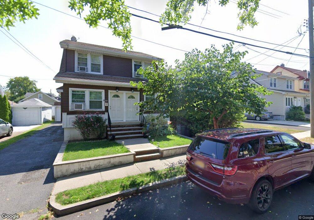
363 Cheves Ave Staten Island, NY 10314
Westerleigh NeighborhoodEstimated Value: $772,000 - $1,021,000
--
Bed
--
Bath
2,400
Sq Ft
$375/Sq Ft
Est. Value
About This Home
This home is located at 363 Cheves Ave, Staten Island, NY 10314 and is currently estimated at $899,116, approximately $374 per square foot. 363 Cheves Ave is a home located in Richmond County with nearby schools including P.S. 30 Westerleigh, I.S. 51 Edwin Markham, and Port Richmond High School.
Ownership History
Date
Name
Owned For
Owner Type
Purchase Details
Closed on
Dec 12, 2024
Sold by
Hurtado Ann Marie and Hurtado Jimmy
Bought by
Novel Sunrise Llc
Current Estimated Value
Home Financials for this Owner
Home Financials are based on the most recent Mortgage that was taken out on this home.
Original Mortgage
$600,000
Interest Rate
6.72%
Mortgage Type
New Conventional
Create a Home Valuation Report for This Property
The Home Valuation Report is an in-depth analysis detailing your home's value as well as a comparison with similar homes in the area
Home Values in the Area
Average Home Value in this Area
Purchase History
| Date | Buyer | Sale Price | Title Company |
|---|---|---|---|
| Novel Sunrise Llc | $605,000 | Fidelity National Title Insura |
Source: Public Records
Mortgage History
| Date | Status | Borrower | Loan Amount |
|---|---|---|---|
| Previous Owner | Novel Sunrise Llc | $600,000 |
Source: Public Records
Tax History Compared to Growth
Tax History
| Year | Tax Paid | Tax Assessment Tax Assessment Total Assessment is a certain percentage of the fair market value that is determined by local assessors to be the total taxable value of land and additions on the property. | Land | Improvement |
|---|---|---|---|---|
| 2025 | $7,316 | $55,920 | $9,771 | $46,149 |
| 2024 | $7,316 | $51,900 | $10,528 | $41,372 |
| 2023 | $7,342 | $36,149 | $8,886 | $27,263 |
| 2022 | $6,808 | $50,220 | $15,000 | $35,220 |
| 2021 | $6,772 | $41,580 | $15,000 | $26,580 |
| 2020 | $6,425 | $43,860 | $15,000 | $28,860 |
| 2019 | $6,350 | $42,240 | $15,000 | $27,240 |
| 2018 | $6,141 | $30,124 | $11,010 | $19,114 |
| 2017 | $5,793 | $28,420 | $13,037 | $15,383 |
| 2016 | $5,360 | $26,814 | $12,530 | $14,284 |
| 2015 | $4,855 | $25,297 | $13,023 | $12,274 |
| 2014 | $4,855 | $25,297 | $15,628 | $9,669 |
Source: Public Records
Map
Nearby Homes
- 366 Neal Dow Ave
- 202 Watchogue Rd
- 26 Iowa Place
- 284 Bidwell Ave
- 63 Avon Ln
- 279 Saint John Ave
- 292 Woolley Ave
- 282 Willard Ave
- 290 Woolley Ave
- 27 Frederick St
- 249 Dickie Ave
- 101 Delmore St
- 307 Clinton B Fiske Ave
- 307 Fiske Ave
- 251 Saint John Ave
- 2 Smith Ct
- 127 Glascoe Ave
- 48 Markham Place
- 2111 Victory Blvd
- 204 Demorest Ave
- 359 Cheves Ave
- 365 Cheves Ave
- 357 Cheves Ave
- 371 Cheves Ave
- 371 Cheves Ave Unit 373
- 364 Demorest Ave
- 360 Demorest Ave
- 366 Demorest Ave
- 375 Cheves Ave
- 356 Demorest Ave
- 368 Cheves Ave
- 370 Demorest Ave
- 356 Cheves Ave
- 362 Cheves Ave
- 352 Demorest Ave
- 374 Demorest Ave
- 378 Cheves Ave
- 352 Cheves Ave
- 347 Cheves Ave
- 381 Cheves Ave