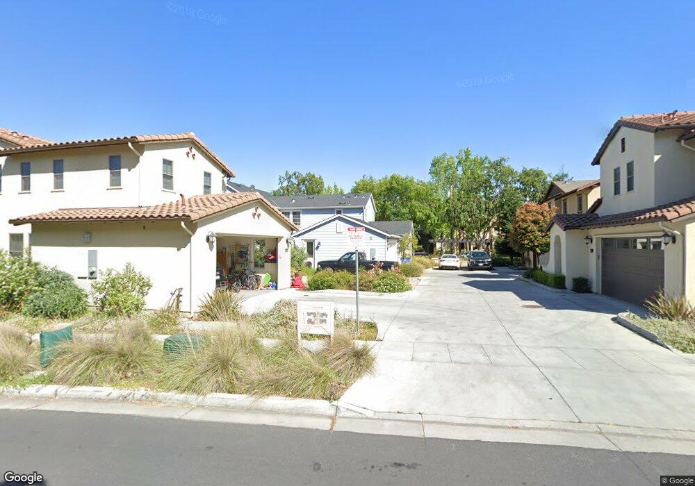
363 Olmsted Rd Stanford, CA 94305
Estimated Value: $2,503,000 - $3,363,000
3
Beds
3
Baths
2,300
Sq Ft
$1,334/Sq Ft
Est. Value
About This Home
This home is located at 363 Olmsted Rd, Stanford, CA 94305 and is currently estimated at $3,068,833, approximately $1,334 per square foot. 363 Olmsted Rd is a home located in Santa Clara County with nearby schools including Escondido Elementary School, Frank S. Greene Jr. Middle, and Palo Alto High School.
Ownership History
Date
Name
Owned For
Owner Type
Purchase Details
Closed on
Nov 12, 2020
Sold by
Diamond Rebecca Randolph and Gascoigne Karen Elizabeth
Bought by
Board Of Trustees Of Leland Stanford Jun
Current Estimated Value
Purchase Details
Closed on
Oct 27, 2016
Sold by
Butte Manish and Butte Amy R
Bought by
The Board Of Trustees Of The Leland Stan
Create a Home Valuation Report for This Property
The Home Valuation Report is an in-depth analysis detailing your home's value as well as a comparison with similar homes in the area
Home Values in the Area
Average Home Value in this Area
Purchase History
| Date | Buyer | Sale Price | Title Company |
|---|---|---|---|
| Board Of Trustees Of Leland Stanford Jun | $1,586,000 | First American Title Company | |
| The Board Of Trustees Of The Leland Stan | $1,075,500 | Old Republic Title Company |
Source: Public Records
Tax History Compared to Growth
Tax History
| Year | Tax Paid | Tax Assessment Tax Assessment Total Assessment is a certain percentage of the fair market value that is determined by local assessors to be the total taxable value of land and additions on the property. | Land | Improvement |
|---|---|---|---|---|
| 2025 | $37,704 | $3,204,847 | $2,334,657 | $870,190 |
| 2024 | $37,704 | $3,142,008 | $2,288,880 | $853,128 |
| 2023 | $37,136 | $3,080,400 | $2,244,000 | $836,400 |
| 2022 | $36,723 | $3,020,000 | $2,200,000 | $820,000 |
| 2021 | $38,865 | $3,200,000 | $2,375,000 | $825,000 |
| 2020 | $25,822 | $2,122,415 | $1,167,328 | $955,087 |
| 2019 | $25,516 | $2,080,800 | $1,144,440 | $936,360 |
| 2018 | $24,809 | $2,896,800 | $1,989,000 | $907,800 |
| 2017 | $28,574 | $2,360,000 | $1,560,000 | $800,000 |
| 2016 | $11,587 | $925,091 | $492,188 | $432,903 |
| 2015 | $11,453 | $911,196 | $484,795 | $426,401 |
| 2014 | $11,152 | $893,348 | $475,299 | $418,049 |
Source: Public Records
Map
Nearby Homes
- 2131 Harvard St
- 1630 Portola Ave
- 425 Grant Ave Unit 19
- 410 Sheridan Ave Unit 446
- 843 Sonoma Terrace
- 200 Sheridan Ave Unit 304
- 200 Sheridan Ave Unit 303
- 200 Sheridan Ave Unit 103
- 200 Sheridan Ave Unit 307
- 103 Peter Coutts Cir
- 2573 Park Blvd Unit U204
- 1932 Emerson St
- 72 Peter Coutts Cir
- 125 Lowell Ave
- 184 Tennyson Ave
- 12 Peter Coutts Cir
- 5 Plan at Acacia
- 4X Plan at Acacia
- 4 Plan at Acacia
- 3 Plan at Acacia
- 359 Olmsted Rd
- 351 Olmsted Rd
- 367 Olmsted Rd
- 355 Olmsted Rd
- 371 Olmsted Rd
- 347 Olmsted Rd
- 343 Olmsted Rd
- 407 Olmsted Rd
- 2030 Cornell St
- 403 Olmsted Rd
- 2040 Wellesley St
- 771 Stanford Ave
- 335 Olmsted Rd
- 925 Stanford Ave
- 339 Olmsted Rd
- 937 Stanford Ave
- 761 Stanford Ave
- 411 Olmsted Rd
- 415 Olmsted Rd
- 2031 Wellesley St