363 Platt Hill Rd Winsted, CT 06098
Estimated Value: $271,000 - $423,000
3
Beds
2
Baths
1,548
Sq Ft
$234/Sq Ft
Est. Value
About This Home
This home is located at 363 Platt Hill Rd, Winsted, CT 06098 and is currently estimated at $362,448, approximately $234 per square foot. 363 Platt Hill Rd is a home located in Litchfield County with nearby schools including Explorations Charter School, St Anthony School, and The Gilbert School.
Ownership History
Date
Name
Owned For
Owner Type
Purchase Details
Closed on
Jan 25, 1994
Sold by
Pavano Guido A and Pavano Giuseppina
Bought by
Mcginn Robert K
Current Estimated Value
Home Financials for this Owner
Home Financials are based on the most recent Mortgage that was taken out on this home.
Original Mortgage
$55,000
Interest Rate
7.08%
Mortgage Type
Unknown
Create a Home Valuation Report for This Property
The Home Valuation Report is an in-depth analysis detailing your home's value as well as a comparison with similar homes in the area
Home Values in the Area
Average Home Value in this Area
Purchase History
| Date | Buyer | Sale Price | Title Company |
|---|---|---|---|
| Mcginn Robert K | $65,000 | -- | |
| Mcginn Robert K | $65,000 | -- |
Source: Public Records
Mortgage History
| Date | Status | Borrower | Loan Amount |
|---|---|---|---|
| Closed | Mcginn Robert K | $55,000 |
Source: Public Records
Tax History Compared to Growth
Tax History
| Year | Tax Paid | Tax Assessment Tax Assessment Total Assessment is a certain percentage of the fair market value that is determined by local assessors to be the total taxable value of land and additions on the property. | Land | Improvement |
|---|---|---|---|---|
| 2025 | $6,038 | $206,990 | $46,270 | $160,720 |
| 2024 | $5,638 | $206,990 | $46,270 | $160,720 |
| 2023 | $5,462 | $206,990 | $46,270 | $160,720 |
| 2022 | $5,151 | $153,580 | $33,530 | $120,050 |
| 2021 | $5,151 | $153,580 | $33,530 | $120,050 |
| 2020 | $5,151 | $153,580 | $33,530 | $120,050 |
| 2019 | $5,151 | $153,580 | $33,530 | $120,050 |
| 2018 | $5,151 | $153,580 | $33,530 | $120,050 |
| 2017 | $4,949 | $147,560 | $32,550 | $115,010 |
| 2016 | $4,949 | $147,560 | $32,550 | $115,010 |
| 2015 | $4,825 | $147,560 | $32,550 | $115,010 |
| 2014 | $4,709 | $147,560 | $32,550 | $115,010 |
Source: Public Records
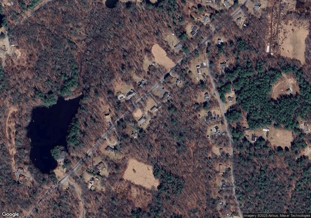
Map
Nearby Homes
- 393 Winchester Rd
- 431 W Wakefield Blvd
- 119 W Wakefield Blvd
- 156 Lincoln Ave
- 843-845 (lots - 10A, E Wakefield Blvd
- 605 E Wakefield Blvd
- 00 Chapel Rd
- 440 Platt Hill Rd
- 124 Rockwell St
- 77 Hubbard St
- 106 Rockwell St
- 9 John St
- 99 Hubbard St
- 720 Main St
- 118 Meadow St
- 722 Lake Dr
- 38 Upland Rd
- 436 Main St
- 48 Bridge St
- 32 Charles St
- 365 Platt Hill Rd
- 361 Platt Hill Rd
- 367 Platt Hill Rd
- 362 Platt Hill Rd
- 102 Sucker Brook Rd
- 364 Platt Hill Rd
- 104 Sucker Brook Rd
- 360 Platt Hill Rd
- 359 Platt Hill Rd
- 106 Sucker Brook Rd
- 100 Sucker Brook Rd
- 371 Platt Hill Rd
- 368 Platt Hill Rd
- 103 1/2 Sucker Brook Rd
- 112 Sucker Brook Rd
- 370 Platt Hill Rd
- 114 Sucker Brook Rd
- 373 Platt Hill Rd
- 354 Platt Hill Rd
- 356 Platt Hill Rd