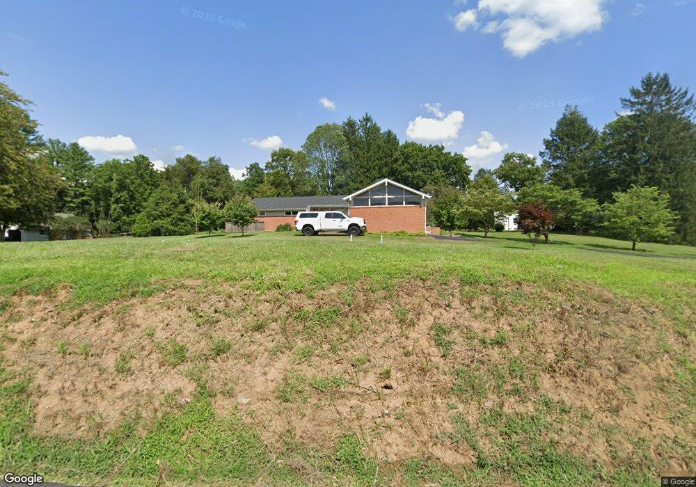
363 Spring Mill Rd Chadds Ford, PA 19317
Estimated Value: $601,101 - $753,000
3
Beds
2
Baths
2,023
Sq Ft
$334/Sq Ft
Est. Value
About This Home
This home is located at 363 Spring Mill Rd, Chadds Ford, PA 19317 and is currently estimated at $674,775, approximately $333 per square foot. 363 Spring Mill Rd is a home located in Chester County with nearby schools including Kennett Middle School, Kennett High School, and Centreville Layton School.
Ownership History
Date
Name
Owned For
Owner Type
Purchase Details
Closed on
Jan 12, 2024
Sold by
Rhoades Andrew T
Bought by
Rhoades Andrew T and Rhoades Paige E
Current Estimated Value
Purchase Details
Closed on
Jun 4, 2021
Sold by
Briggs Priscilla
Bought by
Rhoades Andrew T
Home Financials for this Owner
Home Financials are based on the most recent Mortgage that was taken out on this home.
Original Mortgage
$423,900
Interest Rate
2.96%
Mortgage Type
New Conventional
Purchase Details
Closed on
Jan 10, 2013
Bought by
Briggs Priscilla
Purchase Details
Closed on
Mar 29, 2001
Sold by
Wagner Robert E and Wagner Ruth M
Bought by
Williams Frances W
Create a Home Valuation Report for This Property
The Home Valuation Report is an in-depth analysis detailing your home's value as well as a comparison with similar homes in the area
Home Values in the Area
Average Home Value in this Area
Purchase History
| Date | Buyer | Sale Price | Title Company |
|---|---|---|---|
| Rhoades Andrew T | -- | None Listed On Document | |
| Rhoades Andrew T | $471,000 | Best Abstract Llc | |
| Briggs Priscilla | -- | -- | |
| Williams Frances W | $232,000 | -- |
Source: Public Records
Mortgage History
| Date | Status | Borrower | Loan Amount |
|---|---|---|---|
| Previous Owner | Rhoades Andrew T | $423,900 |
Source: Public Records
Tax History Compared to Growth
Tax History
| Year | Tax Paid | Tax Assessment Tax Assessment Total Assessment is a certain percentage of the fair market value that is determined by local assessors to be the total taxable value of land and additions on the property. | Land | Improvement |
|---|---|---|---|---|
| 2025 | $7,108 | $174,300 | $61,940 | $112,360 |
| 2024 | $7,108 | $174,300 | $61,940 | $112,360 |
| 2023 | $6,970 | $174,300 | $61,940 | $112,360 |
| 2022 | $6,784 | $174,300 | $61,940 | $112,360 |
| 2021 | $6,682 | $174,300 | $61,940 | $112,360 |
| 2020 | $6,557 | $174,300 | $61,940 | $112,360 |
| 2019 | $6,469 | $174,300 | $61,940 | $112,360 |
| 2018 | $6,335 | $174,300 | $61,940 | $112,360 |
| 2017 | $5,893 | $174,300 | $61,940 | $112,360 |
| 2016 | $691 | $174,300 | $61,940 | $112,360 |
| 2015 | $691 | $174,300 | $61,940 | $112,360 |
| 2014 | $691 | $174,300 | $61,940 | $112,360 |
Source: Public Records
Map
Nearby Homes
- 101 Burnt Mill Cir
- 101 Burnt Mill Cir Unit 1A
- 101 Burnt Mill Cir Unit 1B
- 239 S Fairville Rd
- 417 Burnt Mill Rd
- 102 Alford Ct
- 110 Hannah Ln
- 6410 Kennett Pike
- 204 Sandy Flash Dr
- 2 Farron Dr
- 336 Edinburgh Rd Unit 89
- 0 Old Kennett Rd
- 821 Burrows Run Rd
- 504 Kennett Pike
- 103 Haywood Rd
- 1540 Fairville Rd
- 470 E Hillendale Rd
- 208 Haystack Ln
- 997 Sills Mill Rd
- 993 Sills Mill Rd
- 441 Burnt Mill Rd
- 443 Burnt Mill Rd
- 365 Spring Mill Rd
- 366 Spring Mill Rd
- 23 Mccarthy Dr
- 370 Spring Mill Rd
- 21 Mccarthy Dr
- 440 Burnt Mill Rd
- 374 Spring Mill Rd
- 19 Mccarthy Dr
- 22 Mccarthy Dr
- 442 Burnt Mill Rd
- 383 Spring Mill Rd
- 449 Burnt Mill Rd
- 146 Center Mill Rd
- 20 Mccarthy Dr
- 149 Center Mill Rd
- 450 Burnt Mill Rd
- 384 Spring Mill Rd
- 15 Mccarthy Dr