Estimated Value: $266,000 - $303,000
3
Beds
3
Baths
1,751
Sq Ft
$165/Sq Ft
Est. Value
About This Home
This home is located at 363 Walnut Ln, Mason, OH 45040 and is currently estimated at $288,666, approximately $164 per square foot. 363 Walnut Ln is a home located in Warren County with nearby schools including Mason Intermediate Elementary School, Mason Middle School, and William Mason High School.
Ownership History
Date
Name
Owned For
Owner Type
Purchase Details
Closed on
Jun 13, 2019
Sold by
Hayes Donna
Bought by
Hayes Donna C and Hayes Randy E
Current Estimated Value
Purchase Details
Closed on
Jun 8, 2009
Sold by
Heitzman Fred A and Heitzman Laverne M
Bought by
Hayes Donna
Home Financials for this Owner
Home Financials are based on the most recent Mortgage that was taken out on this home.
Original Mortgage
$96,150
Outstanding Balance
$59,630
Interest Rate
4.83%
Mortgage Type
Purchase Money Mortgage
Estimated Equity
$229,036
Purchase Details
Closed on
Mar 10, 1994
Sold by
Cundall Richard R and Cundall Richard R
Bought by
Heitzman and Heitzman Fred A
Purchase Details
Closed on
Jun 14, 1984
Sold by
Donahue Mark R and Donahue Marsha
Bought by
Cundall and Cundall Richard R
Purchase Details
Closed on
Aug 21, 1979
Sold by
Kings Island Real Estate
Purchase Details
Closed on
May 10, 1978
Sold by
Greenery Associates
Create a Home Valuation Report for This Property
The Home Valuation Report is an in-depth analysis detailing your home's value as well as a comparison with similar homes in the area
Home Values in the Area
Average Home Value in this Area
Purchase History
| Date | Buyer | Sale Price | Title Company |
|---|---|---|---|
| Hayes Donna C | -- | None Available | |
| Hayes Donna | $121,000 | Prodigy Title | |
| Heitzman | $91,000 | -- | |
| Cundall | $75,600 | -- | |
| -- | $79,600 | -- | |
| -- | -- | -- |
Source: Public Records
Mortgage History
| Date | Status | Borrower | Loan Amount |
|---|---|---|---|
| Open | Hayes Donna | $96,150 |
Source: Public Records
Tax History
| Year | Tax Paid | Tax Assessment Tax Assessment Total Assessment is a certain percentage of the fair market value that is determined by local assessors to be the total taxable value of land and additions on the property. | Land | Improvement |
|---|---|---|---|---|
| 2025 | $3,310 | $81,550 | $21,000 | $60,550 |
| 2024 | $3,310 | $81,550 | $21,000 | $60,550 |
| 2023 | $2,869 | $59,720 | $8,260 | $51,460 |
| 2022 | $2,832 | $59,721 | $8,260 | $51,461 |
| 2021 | $2,683 | $59,721 | $8,260 | $51,461 |
| 2020 | $2,652 | $50,610 | $7,000 | $43,610 |
| 2019 | $2,438 | $50,610 | $7,000 | $43,610 |
| 2018 | $2,446 | $50,610 | $7,000 | $43,610 |
| 2017 | $2,202 | $42,536 | $5,985 | $36,551 |
| 2016 | $2,268 | $42,536 | $5,985 | $36,551 |
| 2015 | $2,273 | $42,536 | $5,985 | $36,551 |
| 2014 | $2,438 | $42,540 | $5,990 | $36,550 |
| 2013 | $2,443 | $49,750 | $7,000 | $42,750 |
Source: Public Records
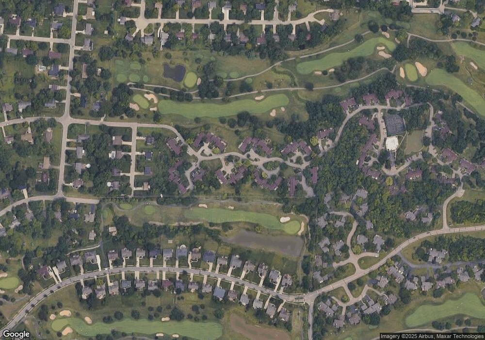
Map
Nearby Homes
- 618 Bunker Ln
- 602 Bunker Ln
- 5921 Fairway Dr
- 550 Maple Ln
- 5399 Country Ridge Dr
- 3634 Pebble Creek Ct
- 200 Lakeview Dr
- 5533 Cox-Smith Rd
- 5523 Cox-Smith Rd
- 6510 Prestwick Ct
- 5276 Bay Pointe Dr
- 5513 Cox-Smith Rd
- 234 Kings Mills Rd
- 5503 Cox-Smith Rd
- 5493 Cox-Smith Rd
- 4019 Fieldsedge Dr
- 6668 Pondfield Ln
- 6764 Pondfield Ln
- 6768 Pondfield Ln Unit 271E
- 220 Kings Mills Rd
Your Personal Tour Guide
Ask me questions while you tour the home.