3630 Links Dr NE Conover, NC 28613
Estimated Value: $640,619 - $743,000
3
Beds
3
Baths
2,504
Sq Ft
$268/Sq Ft
Est. Value
About This Home
This home is located at 3630 Links Dr NE, Conover, NC 28613 and is currently estimated at $671,405, approximately $268 per square foot. 3630 Links Dr NE is a home located in Catawba County with nearby schools including Shuford Elementary School, Newton-Conover Middle School, and Newton-Conover High School.
Ownership History
Date
Name
Owned For
Owner Type
Purchase Details
Closed on
Jul 30, 2025
Sold by
Smith Michael E and Smith Sharon E
Bought by
Wynter Terence and Wynter Karen F
Current Estimated Value
Purchase Details
Closed on
Sep 15, 2007
Sold by
Mcpherson Scott J and Mcpherson Cindy M
Bought by
Smith Michael E and Smith Sharon E
Home Financials for this Owner
Home Financials are based on the most recent Mortgage that was taken out on this home.
Original Mortgage
$80,000
Interest Rate
6.55%
Mortgage Type
Purchase Money Mortgage
Purchase Details
Closed on
Mar 29, 2005
Sold by
Overcash Michael W and Overcash Brenda J
Bought by
Mcpherson Scott J and Mcpherson Cindy M
Home Financials for this Owner
Home Financials are based on the most recent Mortgage that was taken out on this home.
Original Mortgage
$324,000
Interest Rate
5.12%
Mortgage Type
Fannie Mae Freddie Mac
Purchase Details
Closed on
Jan 1, 1999
Bought by
Rock Barn Properties Inc
Purchase Details
Closed on
Apr 1, 1997
Create a Home Valuation Report for This Property
The Home Valuation Report is an in-depth analysis detailing your home's value as well as a comparison with similar homes in the area
Home Values in the Area
Average Home Value in this Area
Purchase History
| Date | Buyer | Sale Price | Title Company |
|---|---|---|---|
| Wynter Terence | $652,000 | None Listed On Document | |
| Wynter Terence | $652,000 | None Listed On Document | |
| Smith Michael E | $430,000 | None Available | |
| Mcpherson Scott J | $405,000 | None Available | |
| Rock Barn Properties Inc | $301,000 | -- | |
| -- | $49,500 | -- |
Source: Public Records
Mortgage History
| Date | Status | Borrower | Loan Amount |
|---|---|---|---|
| Previous Owner | Smith Michael E | $80,000 | |
| Previous Owner | Mcpherson Scott J | $324,000 |
Source: Public Records
Tax History
| Year | Tax Paid | Tax Assessment Tax Assessment Total Assessment is a certain percentage of the fair market value that is determined by local assessors to be the total taxable value of land and additions on the property. | Land | Improvement |
|---|---|---|---|---|
| 2025 | $4,388 | $553,000 | $126,500 | $426,500 |
| 2024 | $4,388 | $553,000 | $126,500 | $426,500 |
| 2023 | $4,388 | $385,900 | $126,500 | $259,400 |
| 2022 | $4,148 | $385,900 | $126,500 | $259,400 |
| 2021 | $4,148 | $385,900 | $126,500 | $259,400 |
| 2020 | $4,148 | $385,900 | $126,500 | $259,400 |
| 2019 | $4,148 | $385,900 | $0 | $0 |
| 2018 | $4,225 | $393,000 | $147,200 | $245,800 |
| 2017 | $4,107 | $0 | $0 | $0 |
| 2016 | $4,107 | $0 | $0 | $0 |
| 2015 | $4,359 | $392,950 | $147,200 | $245,750 |
| 2014 | $4,359 | $468,700 | $182,200 | $286,500 |
Source: Public Records
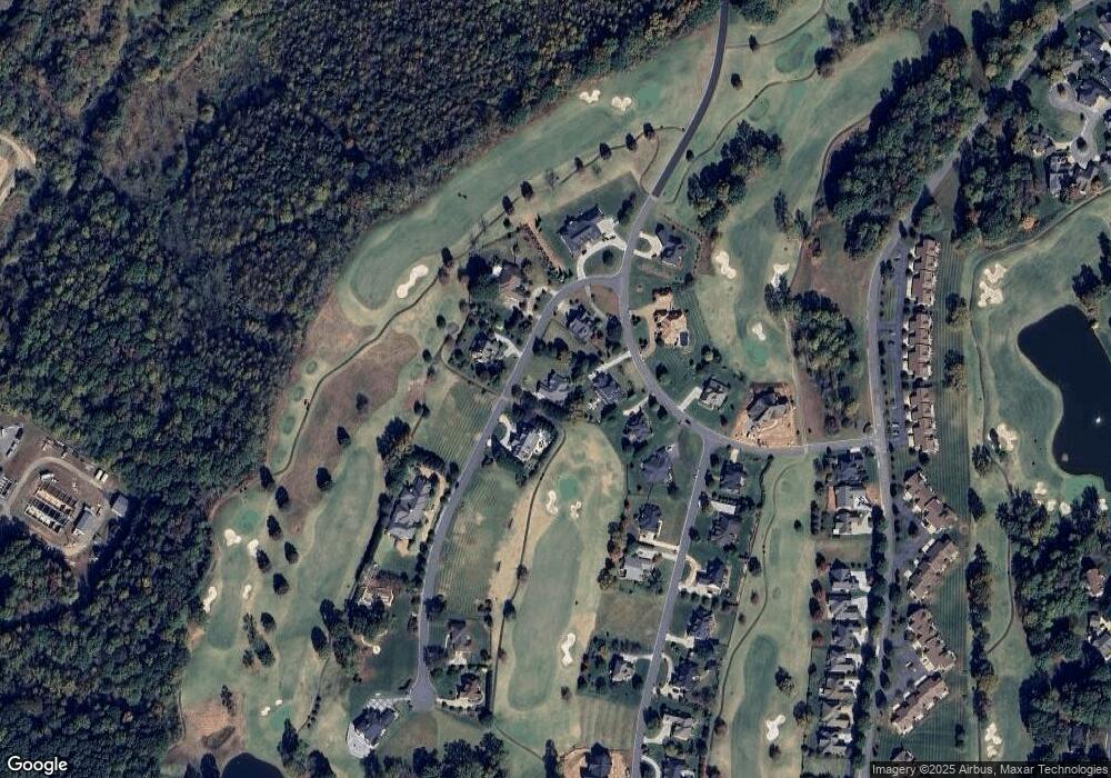
Map
Nearby Homes
- 3619 Links Dr NE
- 3761 Rock Bridge Dr NE
- 3708 Rock Bridge Dr NE
- 3771 Sarazen Ct NE
- 2425 Birdie Ln NE
- 2488 Birdie Ln NE
- 3996 Deer Run Dr NE
- 3567 Smithfield Dr NW
- 4111 Ridge Rd NE
- 2616 Nicklaus Ct NE
- 3816 Lyle Creek Ave NE
- 2627 Vista Ln NE
- 2615 Vista Ln NE Unit 44
- 3646 Hogan Ct NE
- 4173 Holly Cir NE
- 4047 Stadler Dr NE
- 4129 Holly Cir NE
- 4191 Holly Cir NE Unit 37
- 3578 Savannah Ln
- 2836 Player Cir NE Unit 132
- 3715 W Nine Dr NE
- 3626 Links Dr NE
- 3634 Links Dr NE Unit 27
- 3634 Links Dr NE
- 3629 Links Dr NE
- 3713 W Nine Dr NE
- 3631 Links Dr NE
- 3718 W Nine Dr NE
- 3637 Bermuda Dr NE
- 3631 Bermuda Dr NE
- 3631 Bermuda Dr NE Unit 24
- 3635 Links Dr NE
- 3710 W Nine Dr NE
- 3627 Bermuda Dr NE
- 3722 W Nine Dr NE
- 3623 Bermuda Dr NE
- 3632 Bermuda Dr NE
- 3706 W Nine Dr NE
- 3628 Bermuda Dr NE
- 3619 Bermuda Dr NE Unit 21
Your Personal Tour Guide
Ask me questions while you tour the home.