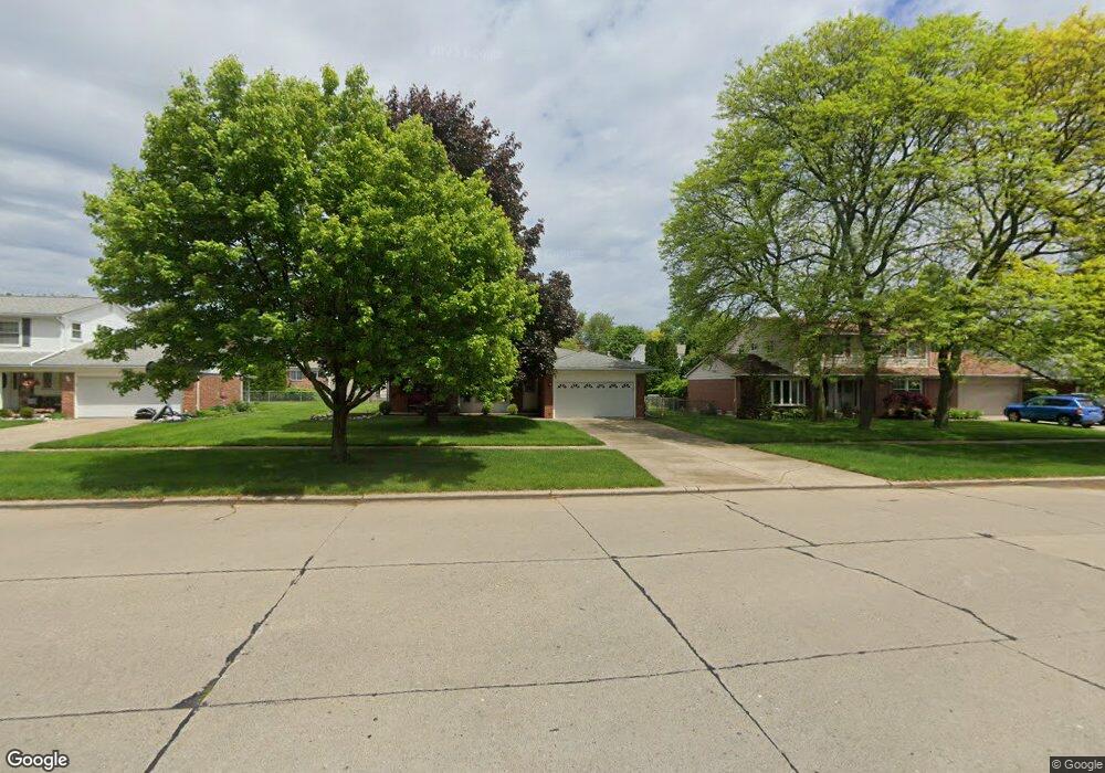
36306 Curtis Rd Unit Bldg-Unit Livonia, MI 48152
Estimated Value: $378,000 - $386,000
3
Beds
2
Baths
1,453
Sq Ft
$263/Sq Ft
Est. Value
About This Home
This home is located at 36306 Curtis Rd Unit Bldg-Unit, Livonia, MI 48152 and is currently estimated at $382,477, approximately $263 per square foot. 36306 Curtis Rd Unit Bldg-Unit is a home located in Wayne County with nearby schools including Hoover Elementary School, Riley Upper Elementary School, and Holmes Middle School.
Ownership History
Date
Name
Owned For
Owner Type
Purchase Details
Closed on
Jul 24, 2018
Sold by
Tsoukalas Katherine
Bought by
Tsoukalas Katherine
Current Estimated Value
Purchase Details
Closed on
Dec 14, 2006
Sold by
Key Evelyn
Bought by
Key Evelyn and Key Family Revocable Living Tr
Create a Home Valuation Report for This Property
The Home Valuation Report is an in-depth analysis detailing your home's value as well as a comparison with similar homes in the area
Home Values in the Area
Average Home Value in this Area
Purchase History
| Date | Buyer | Sale Price | Title Company |
|---|---|---|---|
| Tsoukalas Katherine | -- | None Available | |
| Tsoukalas Katherine | $215,000 | Estates Title Agency | |
| Key James W | $67,500 | Estates Title Agency | |
| Key Evelyn | -- | None Available |
Source: Public Records
Tax History Compared to Growth
Tax History
| Year | Tax Paid | Tax Assessment Tax Assessment Total Assessment is a certain percentage of the fair market value that is determined by local assessors to be the total taxable value of land and additions on the property. | Land | Improvement |
|---|---|---|---|---|
| 2025 | $2,974 | $172,000 | $0 | $0 |
| 2024 | $2,974 | $155,700 | $0 | $0 |
| 2023 | $2,837 | $143,600 | $0 | $0 |
| 2022 | $4,982 | $130,300 | $0 | $0 |
| 2021 | $4,839 | $124,700 | $0 | $0 |
| 2019 | $4,471 | $110,100 | $0 | $0 |
| 2018 | $1,630 | $101,500 | $0 | $0 |
| 2017 | $2,846 | $98,800 | $0 | $0 |
| 2016 | $2,992 | $98,400 | $0 | $0 |
| 2015 | $7,244 | $86,290 | $0 | $0 |
| 2012 | -- | $68,540 | $19,400 | $49,140 |
Source: Public Records
Map
Nearby Homes
- 35700 Bennett St
- 35330 Lancashire Ct
- 36697 7 Mile Rd
- 37484 N Laurel Park Dr
- 18661 Laurel Dr
- 16588 Ronnie Ln
- 16508 Fairway St
- 37800 N Laurel Park Dr
- 16400 Levan Rd
- 19360 Newburgh Rd
- 34827 Wood St
- 18230 University Park Dr
- 18237 University Park Dr
- 18339 University Park Dr
- 18035 University Park Dr Unit 56
- 18323 University Park Dr
- 18795 Blue Skies St
- 37739 7 Mile Rd
- 18411 University Park Dr
- 37578 Munger Dr
- 36306 Curtis Rd
- 36318 Curtis Rd
- 36292 Curtis Rd
- 36307 Hammer Ln
- 36293 Hammer Ln
- 36319 Hammer Ln
- 36330 Curtis Rd
- 36280 Curtis Rd
- 36281 Hammer Ln
- 36331 Hammer Ln
- 36165 Curtis Rd
- 36221 Curtis Rd
- 36342 Curtis Rd
- 36268 Curtis Rd
- 36135 Curtis Rd
- 36269 Hammer Ln
- 36251 Curtis Rd
- 36343 Hammer Ln
- 36101 Curtis Rd
- 36294 Hammer Ln