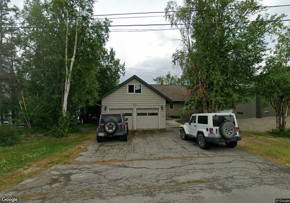
3632 N Point Dr Anchorage, AK 99502
Sand Lake NeighborhoodEstimated Value: $407,000 - $809,000
6
Beds
3
Baths
3,635
Sq Ft
$174/Sq Ft
Est. Value
About This Home
This home is located at 3632 N Point Dr, Anchorage, AK 99502 and is currently estimated at $631,205, approximately $173 per square foot. 3632 N Point Dr is a home located in Anchorage Municipality with nearby schools including Kincaid Elementary, Mears Middle School, and Dimond High School.
Ownership History
Date
Name
Owned For
Owner Type
Purchase Details
Closed on
Jul 14, 2006
Sold by
Parrott John D and Parrott Lynne S
Bought by
Johnson Mo and Johnson Holly
Current Estimated Value
Purchase Details
Closed on
Sep 3, 2002
Sold by
Mccabe John Trevor and Mccabe Margo S
Bought by
Parrott John D and Parrott Lynne S
Home Financials for this Owner
Home Financials are based on the most recent Mortgage that was taken out on this home.
Original Mortgage
$524,000
Interest Rate
5.37%
Purchase Details
Closed on
Oct 25, 1999
Sold by
Lambe John Payson
Bought by
Mccabe John Trevor and Mccabe Margo S
Home Financials for this Owner
Home Financials are based on the most recent Mortgage that was taken out on this home.
Original Mortgage
$360,000
Interest Rate
7.86%
Mortgage Type
New Conventional
Create a Home Valuation Report for This Property
The Home Valuation Report is an in-depth analysis detailing your home's value as well as a comparison with similar homes in the area
Home Values in the Area
Average Home Value in this Area
Purchase History
| Date | Buyer | Sale Price | Title Company |
|---|---|---|---|
| Johnson Mo | -- | None Available | |
| Parrott John D | -- | -- | |
| Mccabe John Trevor | -- | -- |
Source: Public Records
Mortgage History
| Date | Status | Borrower | Loan Amount |
|---|---|---|---|
| Previous Owner | Parrott John D | $524,000 | |
| Previous Owner | Mccabe John Trevor | $360,000 |
Source: Public Records
Tax History
| Year | Tax Paid | Tax Assessment Tax Assessment Total Assessment is a certain percentage of the fair market value that is determined by local assessors to be the total taxable value of land and additions on the property. | Land | Improvement |
|---|---|---|---|---|
| 2025 | $13,518 | $822,200 | $459,900 | $362,300 |
| 2024 | $13,518 | $912,300 | $390,700 | $521,600 |
| 2023 | $14,368 | $843,700 | $390,700 | $453,000 |
| 2022 | $14,024 | $832,800 | $390,700 | $442,100 |
| 2021 | $14,261 | $791,400 | $390,700 | $400,700 |
| 2020 | $13,167 | $774,500 | $390,700 | $383,800 |
| 2019 | $12,808 | $782,900 | $390,700 | $392,200 |
| 2018 | $12,784 | $779,500 | $390,700 | $388,800 |
| 2017 | $12,371 | $790,000 | $390,700 | $399,300 |
| 2016 | $10,127 | $659,300 | $390,700 | $268,600 |
| 2015 | $10,127 | $632,800 | $390,700 | $242,100 |
| 2014 | $10,127 | $617,800 | $364,300 | $253,500 |
Source: Public Records
Map
Nearby Homes
- 3769 Quartz Cir
- 3806 N Point Cir
- 3864 Quartz Cir
- 3820 Runestad Cir
- 9353 Blackberry St Unit 2
- 3340 Lakeside Dr
- 9215 Commons Place Unit 5
- 000 W Dimond Blvd
- 3101 Bettles Bay Loop
- 3360 Chaparral Cir
- 9261 Kirkwall Cir
- 4024 W 88th Ave
- 10031 Eshamy Bay Dr
- 4240 Endeavor Cir
- 4140 W 89th Ct
- 4048 W 88th Ave
- 8700 Blackberry St
- L3 Molanary Dr
- 8641 Blackberry St Unit 19B
- 8621 Molanary Dr
- 3632 North Point Dr
- 3612 North Point Dr
- 3612 N Point Dr
- 3646 N Point Dr
- 3646 North Point Dr
- 3608 North Point Dr
- 3625 North Point Dr
- 3625 North Point Dr
- 3608 N Point Dr
- 3641 N Point Dr
- 3637 North Point Dr
- 3660 North Point Dr
- 3676 North Point Dr
- 3660 North Point Dr
- 3600 North Point Dr
- 3613 N Point Dr
- 3537 North Point Dr
- 3613 North Point Dr
- L1 Quartz Cir
- 3537 N Point Dr
Your Personal Tour Guide
Ask me questions while you tour the home.