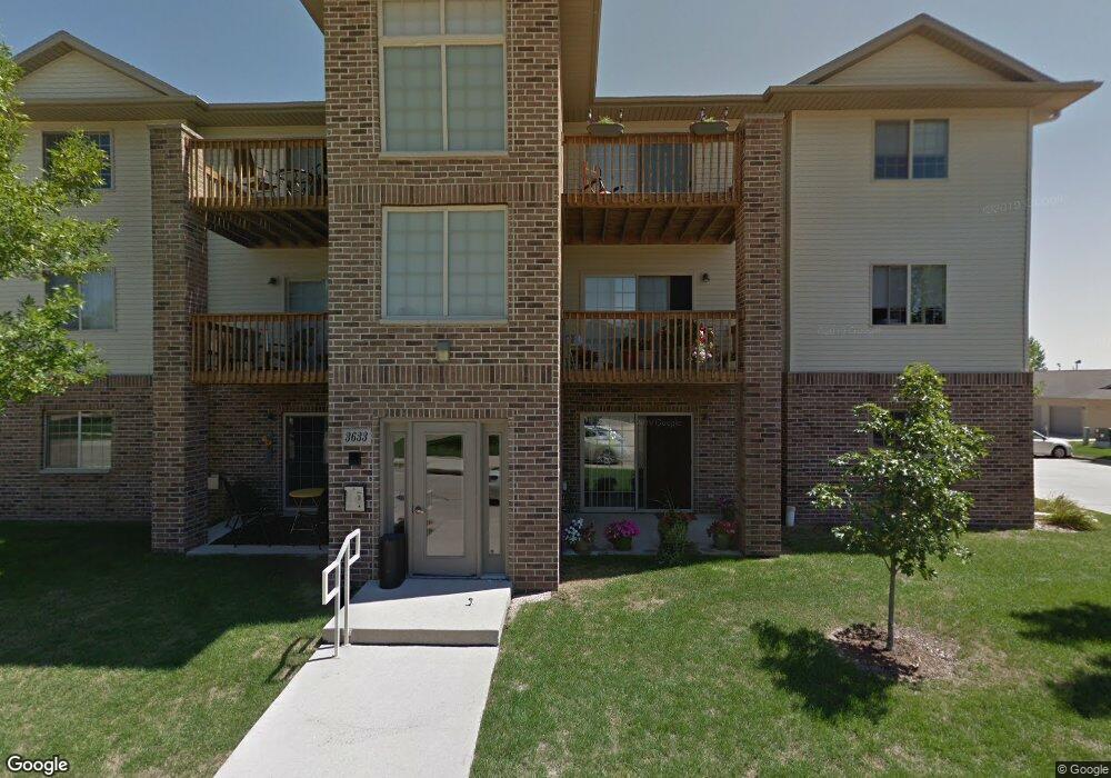
3633 Pheasant Ln Unit 1 Waterloo, IA 50701
Estimated Value: $134,280 - $157,000
2
Beds
1
Bath
915
Sq Ft
$154/Sq Ft
Est. Value
About This Home
This home is located at 3633 Pheasant Ln Unit 1, Waterloo, IA 50701 and is currently estimated at $140,570, approximately $153 per square foot. 3633 Pheasant Ln Unit 1 is a home located in Black Hawk County with nearby schools including Lou Henry Elementary School, Hoover Middle School, and West High School.
Ownership History
Date
Name
Owned For
Owner Type
Purchase Details
Closed on
Jul 23, 2009
Sold by
Johnson Jerry H and Baker Johnson Janet L
Bought by
Dahl Hinds Cynthia A
Current Estimated Value
Home Financials for this Owner
Home Financials are based on the most recent Mortgage that was taken out on this home.
Original Mortgage
$48,000
Outstanding Balance
$31,613
Interest Rate
5.49%
Mortgage Type
New Conventional
Estimated Equity
$108,957
Create a Home Valuation Report for This Property
The Home Valuation Report is an in-depth analysis detailing your home's value as well as a comparison with similar homes in the area
Purchase History
| Date | Buyer | Sale Price | Title Company |
|---|---|---|---|
| Dahl Hinds Cynthia A | $92,000 | None Available |
Source: Public Records
Mortgage History
| Date | Status | Borrower | Loan Amount |
|---|---|---|---|
| Open | Dahl Hinds Cynthia A | $48,000 |
Source: Public Records
Tax History
| Year | Tax Paid | Tax Assessment Tax Assessment Total Assessment is a certain percentage of the fair market value that is determined by local assessors to be the total taxable value of land and additions on the property. | Land | Improvement |
|---|---|---|---|---|
| 2025 | $1,916 | $128,020 | $7,230 | $120,790 |
| 2024 | $1,916 | $112,250 | $7,230 | $105,020 |
| 2023 | $1,718 | $112,250 | $7,230 | $105,020 |
| 2022 | $1,672 | $87,130 | $9,040 | $78,090 |
| 2021 | $1,694 | $87,130 | $9,040 | $78,090 |
| 2020 | $1,662 | $83,350 | $9,040 | $74,310 |
| 2019 | $1,662 | $83,350 | $9,040 | $74,310 |
| 2018 | $1,664 | $83,350 | $9,040 | $74,310 |
| 2017 | $1,806 | $83,350 | $9,040 | $74,310 |
| 2016 | $1,778 | $87,130 | $9,040 | $78,090 |
| 2015 | $1,778 | $87,130 | $9,040 | $78,090 |
| 2014 | $1,814 | $87,130 | $9,040 | $78,090 |
Source: Public Records
Map
Nearby Homes
- 830 Colby Rd
- 918 Colby Rd
- 914 Lynda Rd
- 1020 Nancy Rd
- 155 E San Marnan Dr Unit 2
- Lot 7 San Marnan Dr
- Lot 2 San Marnan Dr
- Lot 6 Mirage Ridge
- Lot 4 Mirage Ridge
- 2.30 acres San Marnan Dr
- Lot 2 Hurst Dr
- Lot 1 Hurst Dr
- 506 Alpine Dr
- Lot 4 Tower Park Dr
- Lot 5 Tower Park Dr
- +/- 12.23 Acres Tower Park Dr
- Lot 3 Tower Park Dr
- Lot 3 San Marnan Dr
- Lot 4 San Marnan Dr
- Lot 1 San Marnan Dr
- 3633 Pheasant Ln Unit 12
- 3633 Pheasant Ln Unit 11
- 3633 Pheasant Ln Unit 10
- 3633 Pheasant Ln Unit 9
- 3633 Pheasant Ln Unit 8
- 3633 Pheasant Ln Unit 7
- 3633 Pheasant Ln Unit 6
- 3633 Pheasant Ln Unit 5
- 3633 Pheasant Ln Unit 4
- 3633 Pheasant Ln Unit 3
- 3633 Pheasant Ln Unit 2
- 3650 Pheasant Ln Unit 2
- 3626 Pheasant Ln Unit 2
- 3608 Pheasant Ln
- 3634 Pheasant Ln Unit 2
- 3624 Pheasant Ln Unit 1
- 3640 Pheasant Ln Unit 1
- 3649 Pheasant Ln Unit 1st Floor
- 3649 Pheasant Ln Unit Main Level
- 3649 Pheasant Ln Unit 12