36364 532nd Ave Grove City, MN 56243
Estimated Value: $233,000 - $350,000
4
Beds
1
Bath
1,250
Sq Ft
$231/Sq Ft
Est. Value
About This Home
This home is located at 36364 532nd Ave, Grove City, MN 56243 and is currently estimated at $288,928, approximately $231 per square foot. 36364 532nd Ave is a home located in Meeker County with nearby schools including ACGC Elementary School, ACGC Elementary Grades 5 & 6, and A.C.G.C. Secondary.
Ownership History
Date
Name
Owned For
Owner Type
Purchase Details
Closed on
Sep 10, 2014
Sold by
Yoder Amos J and Yoder Marcus A
Bought by
Johnson Jacob P
Current Estimated Value
Home Financials for this Owner
Home Financials are based on the most recent Mortgage that was taken out on this home.
Original Mortgage
$95,000
Outstanding Balance
$72,648
Interest Rate
4.11%
Mortgage Type
New Conventional
Estimated Equity
$216,280
Create a Home Valuation Report for This Property
The Home Valuation Report is an in-depth analysis detailing your home's value as well as a comparison with similar homes in the area
Home Values in the Area
Average Home Value in this Area
Purchase History
| Date | Buyer | Sale Price | Title Company |
|---|---|---|---|
| Johnson Jacob P | $100,000 | Attorney |
Source: Public Records
Mortgage History
| Date | Status | Borrower | Loan Amount |
|---|---|---|---|
| Open | Johnson Jacob P | $95,000 |
Source: Public Records
Tax History Compared to Growth
Tax History
| Year | Tax Paid | Tax Assessment Tax Assessment Total Assessment is a certain percentage of the fair market value that is determined by local assessors to be the total taxable value of land and additions on the property. | Land | Improvement |
|---|---|---|---|---|
| 2025 | $1,862 | $287,500 | $94,600 | $192,900 |
| 2024 | $1,862 | $247,600 | $78,700 | $168,900 |
| 2023 | $1,646 | $236,300 | $78,700 | $157,600 |
| 2022 | $1,500 | $188,400 | $56,200 | $132,200 |
| 2021 | $1,484 | $167,600 | $51,200 | $116,400 |
| 2020 | $1,406 | $160,200 | $51,200 | $109,000 |
| 2019 | $1,232 | $150,500 | $49,200 | $101,300 |
| 2018 | $1,096 | $142,600 | $49,200 | $93,400 |
| 2017 | $1,106 | $128,600 | $43,200 | $85,400 |
| 2016 | $1,062 | $128,900 | $43,200 | $85,700 |
| 2015 | $1,138 | $0 | $0 | $0 |
| 2014 | $1,138 | $0 | $0 | $0 |
Source: Public Records
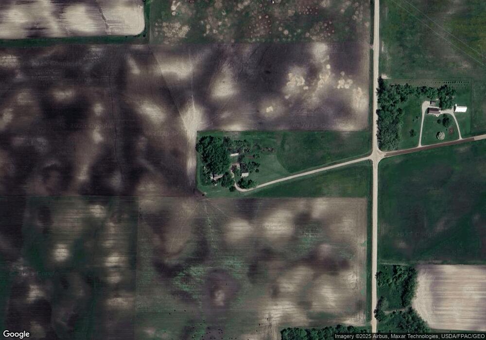
Map
Nearby Homes
- 14574 Old Lake Rd
- 27795 Stonegate Rd
- 27763 Stonegate Rd
- 27829 Stonegate Rd
- 27755 Stonegate Rd
- 27822 Stonegate Rd
- 27798 Stonegate Rd
- 14855 Linden Hill Rd
- 14856 Old Lake Rd
- 14919 Cedardale Rd
- 38502 Csah 30
- 15889 Old Lake Rd
- 15976 Cushing Rd
- 28401 Cherrywood Rd
- 28413 Cherrywood Rd
- 28418 Cherrywood Rd
- 28621 Clarence Ct
- 28653 Clarence Ct
- 28780 Clarence Ct
- 28707 Clarence Ct