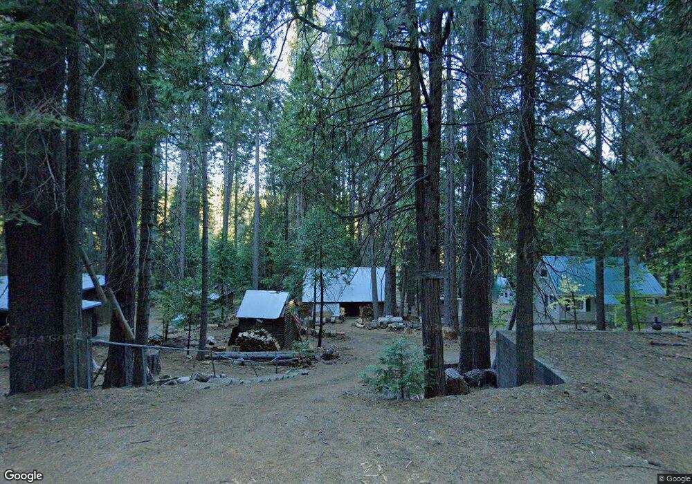
3637 Hwy 4 Arnold, CA 95223
Estimated Value: $236,000 - $338,000
3
Beds
1
Bath
1,524
Sq Ft
$203/Sq Ft
Est. Value
About This Home
This home is located at 3637 Hwy 4, Arnold, CA 95223 and is currently estimated at $308,696, approximately $202 per square foot. 3637 Hwy 4 is a home with nearby schools including Bret Harte Union High School.
Ownership History
Date
Name
Owned For
Owner Type
Purchase Details
Closed on
May 24, 2017
Sold by
Duncan Cheryl G
Bought by
Mccluskey Michael W and Duncan Cheryl G
Current Estimated Value
Purchase Details
Closed on
Oct 17, 2003
Sold by
Bank Of Stockton
Bought by
Duncan Cheryl G
Home Financials for this Owner
Home Financials are based on the most recent Mortgage that was taken out on this home.
Original Mortgage
$103,960
Outstanding Balance
$48,281
Interest Rate
6.14%
Mortgage Type
Purchase Money Mortgage
Estimated Equity
$260,415
Purchase Details
Closed on
Jan 29, 2002
Sold by
Fosse Natalie A
Bought by
Bank Of Stockton
Create a Home Valuation Report for This Property
The Home Valuation Report is an in-depth analysis detailing your home's value as well as a comparison with similar homes in the area
Purchase History
| Date | Buyer | Sale Price | Title Company |
|---|---|---|---|
| Mccluskey Michael W | -- | Accommodation | |
| Mccluskey Michael W | -- | Accommodation | |
| Duncan Cheryl G | $130,000 | The Sterling Title Company | |
| Bank Of Stockton | -- | -- |
Source: Public Records
Mortgage History
| Date | Status | Borrower | Loan Amount |
|---|---|---|---|
| Open | Duncan Cheryl G | $103,960 | |
| Closed | Duncan Cheryl G | $12,995 |
Source: Public Records
Tax History
| Year | Tax Paid | Tax Assessment Tax Assessment Total Assessment is a certain percentage of the fair market value that is determined by local assessors to be the total taxable value of land and additions on the property. | Land | Improvement |
|---|---|---|---|---|
| 2025 | $2,561 | $184,735 | $28,423 | $156,312 |
| 2023 | $2,491 | $177,564 | $27,320 | $150,244 |
| 2022 | $2,319 | $174,084 | $26,785 | $147,299 |
| 2021 | $2,306 | $170,671 | $26,260 | $144,411 |
| 2020 | $2,279 | $168,922 | $25,991 | $142,931 |
| 2019 | $2,251 | $165,611 | $25,482 | $140,129 |
| 2018 | $2,069 | $162,365 | $24,983 | $137,382 |
| 2017 | $2,019 | $159,183 | $24,494 | $134,689 |
| 2016 | $2,013 | $156,063 | $24,014 | $132,049 |
| 2015 | -- | $153,720 | $23,654 | $130,066 |
| 2014 | -- | $150,710 | $23,191 | $127,519 |
Source: Public Records
Map
Nearby Homes
- 3561 Highway 4
- 3629 Muriettas Roost
- 127 Summit Level Rd
- 232 Iroquois Dr
- 3380 El Camino Boot Strap
- 3115 Apache Rd
- 392 Boards Crossing Rd
- 401 Kenshaw Ct
- 3099 Apache Rd
- 3065 Apache Rd
- 2723 Navajo Dr
- 1385 Topanga Ln
- 403 Sierra Pkwy
- 3703 Ottawa Dr
- 10 Timber Trail Ct
- 11 Timber Trail Ct
- 2483 Karock Rd
- 2893 Zuni Dr
- 1275 Shoshone Dr
- 2179 Navajo Dr
- 3637 California 4
- 3637 Highway 4
- 3651 California 4
- 3617 California 4
- 3597 California 4
- 3667 Highway 4
- 3667 Old Hwy 4
- 3667 California 4
- 3597 Highway 4
- 3587 Highway 4
- 3693 California 4
- 3575 Hwy 4 Byway
- 3575 Highway 4
- 3705 Hwy 4
- 3719 Hwy 4
- 3547 Highway 4
- 3475 Meadow Ln
- 3733 California 4
- 3561 Meadow Ln
- 3535 California 4
Your Personal Tour Guide
Ask me questions while you tour the home.