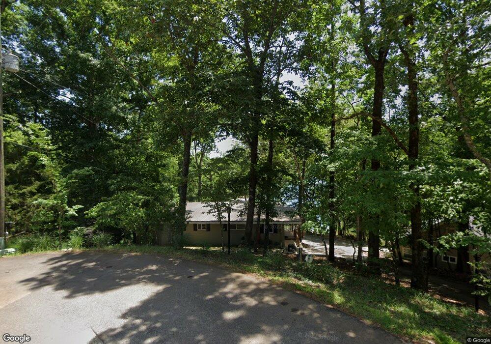
3638 Bert Dr Gainesville, GA 30506
Estimated Value: $548,846 - $712,000
3
Beds
1
Bath
1,232
Sq Ft
$512/Sq Ft
Est. Value
About This Home
This home is located at 3638 Bert Dr, Gainesville, GA 30506 and is currently estimated at $630,962, approximately $512 per square foot. 3638 Bert Dr is a home located in Hall County with nearby schools including Sardis Elementary School, Chestatee Middle School, and Chestatee High School.
Ownership History
Date
Name
Owned For
Owner Type
Purchase Details
Closed on
Jul 17, 2014
Sold by
Wysocki Gene R
Bought by
Wysocki Gene R and Wysocki Mary E
Current Estimated Value
Purchase Details
Closed on
Jan 28, 1994
Sold by
Murray Louise W
Bought by
Wysocki Gene R Mary E
Home Financials for this Owner
Home Financials are based on the most recent Mortgage that was taken out on this home.
Original Mortgage
$66,000
Interest Rate
7.1%
Mortgage Type
Purchase Money Mortgage
Create a Home Valuation Report for This Property
The Home Valuation Report is an in-depth analysis detailing your home's value as well as a comparison with similar homes in the area
Home Values in the Area
Average Home Value in this Area
Purchase History
| Date | Buyer | Sale Price | Title Company |
|---|---|---|---|
| Wysocki Gene R | -- | -- | |
| Wysocki Gene R Mary E | $82,500 | -- |
Source: Public Records
Mortgage History
| Date | Status | Borrower | Loan Amount |
|---|---|---|---|
| Previous Owner | Wysocki Gene R Mary E | $66,000 |
Source: Public Records
Tax History
| Year | Tax Paid | Tax Assessment Tax Assessment Total Assessment is a certain percentage of the fair market value that is determined by local assessors to be the total taxable value of land and additions on the property. | Land | Improvement |
|---|---|---|---|---|
| 2025 | $5,909 | $241,840 | $141,320 | $100,520 |
| 2024 | $6,025 | $238,160 | $157,040 | $81,120 |
| 2023 | $6,102 | $241,280 | $157,040 | $84,240 |
| 2022 | $4,664 | $175,480 | $116,320 | $59,160 |
| 2021 | $3,582 | $130,920 | $74,440 | $56,480 |
| 2020 | $3,587 | $130,120 | $74,440 | $55,680 |
| 2019 | $2,206 | $92,040 | $72,280 | $19,760 |
| 2018 | $2,484 | $85,560 | $67,520 | $18,040 |
| 2017 | $2,446 | $85,120 | $67,520 | $17,600 |
| 2016 | $2,387 | $85,120 | $67,520 | $17,600 |
| 2015 | $1,446 | $85,120 | $67,520 | $17,600 |
| 2014 | $1,446 | $138,840 | $116,200 | $22,640 |
Source: Public Records
Map
Nearby Homes
- 3641 Bert Dr
- 3475 Cook Rd
- 3553 Old Duckett Mill Rd
- 3655 Cameron Cir
- 3394 Robinson Rd
- 3551 Dockside Shores Dr
- 3715 Cameron Cir
- 3535 Cameron Cir
- 3550 Dockside Shores Dr
- 3443 Dockside Shores Dr
- 3427 Dockside Shores Dr
- 3514 Dockside Shores Dr
- 3454 Green Apple Rd
- 3551 Monroe Cir
- 3490 Springdale Forrest Blvd
- 3442 Jet Wright Rd
- 3319 Russell Dr
- 3425 Duckett Mill Rd
- 3466 Crown Dr
- 3533 Keith Bridge Rd
Your Personal Tour Guide
Ask me questions while you tour the home.