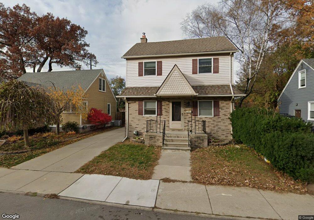
364 Adams Ct Ferndale, MI 48220
Estimated Value: $218,731 - $268,000
3
Beds
1
Bath
1,000
Sq Ft
$241/Sq Ft
Est. Value
About This Home
This home is located at 364 Adams Ct, Ferndale, MI 48220 and is currently estimated at $240,683, approximately $240 per square foot. 364 Adams Ct is a home located in Oakland County with nearby schools including Ferndale Lower Elementary Campus, Ferndale Upper Elementary Campus, and Ferndale Middle School.
Ownership History
Date
Name
Owned For
Owner Type
Purchase Details
Closed on
Jun 25, 2004
Sold by
Paulson Paige and Paulson Paige Catherine Linares
Bought by
Karasiewicz Brian
Current Estimated Value
Home Financials for this Owner
Home Financials are based on the most recent Mortgage that was taken out on this home.
Original Mortgage
$124,800
Outstanding Balance
$61,352
Interest Rate
5.87%
Mortgage Type
Unknown
Estimated Equity
$179,331
Create a Home Valuation Report for This Property
The Home Valuation Report is an in-depth analysis detailing your home's value as well as a comparison with similar homes in the area
Home Values in the Area
Average Home Value in this Area
Purchase History
| Date | Buyer | Sale Price | Title Company |
|---|---|---|---|
| Karasiewicz Brian | $156,000 | Metropolitan Title Company |
Source: Public Records
Mortgage History
| Date | Status | Borrower | Loan Amount |
|---|---|---|---|
| Open | Karasiewicz Brian | $124,800 | |
| Previous Owner | Karasiewicz Brian | $29,600 |
Source: Public Records
Tax History Compared to Growth
Tax History
| Year | Tax Paid | Tax Assessment Tax Assessment Total Assessment is a certain percentage of the fair market value that is determined by local assessors to be the total taxable value of land and additions on the property. | Land | Improvement |
|---|---|---|---|---|
| 2024 | $1,877 | $102,200 | $0 | $0 |
| 2023 | $1,755 | $91,320 | $0 | $0 |
| 2022 | $1,758 | $84,010 | $0 | $0 |
| 2021 | $1,768 | $76,220 | $0 | $0 |
| 2020 | $1,680 | $64,360 | $0 | $0 |
| 2019 | $1,705 | $53,830 | $0 | $0 |
| 2018 | $1,711 | $45,850 | $0 | $0 |
| 2017 | $1,689 | $42,140 | $0 | $0 |
| 2016 | $1,663 | $35,950 | $0 | $0 |
| 2015 | -- | $31,170 | $0 | $0 |
| 2014 | -- | $26,980 | $0 | $0 |
| 2011 | -- | $43,110 | $0 | $0 |
Source: Public Records
Map
Nearby Homes
- 378 Fielding St
- 260 Fielding St
- 295 W Webster St
- 243 W Webster St
- 243 Edgewood Place
- 211 Silman St
- 210 Saint Louis St
- 457 W Bennett
- 221 Silman St
- 482 W 8 Mile Rd
- 415 Laprairie St
- 918 Saint Louis St
- 204 Wordsworth St
- 274 Silman St
- 306 Silman St
- 168 W Bennett
- 300 Wordsworth St
- 250 Spencer St
- 292 W Marshall St
- 354 Silman St