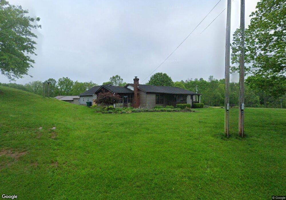
3642 Airport Rd Sutton, WV 26601
Estimated Value: $66,000 - $293,000
3
Beds
2
Baths
1,500
Sq Ft
$124/Sq Ft
Est. Value
About This Home
This home is located at 3642 Airport Rd, Sutton, WV 26601 and is currently estimated at $185,340, approximately $123 per square foot. 3642 Airport Rd is a home with nearby schools including Braxton County High School.
Create a Home Valuation Report for This Property
The Home Valuation Report is an in-depth analysis detailing your home's value as well as a comparison with similar homes in the area
Home Values in the Area
Average Home Value in this Area
Tax History Compared to Growth
Tax History
| Year | Tax Paid | Tax Assessment Tax Assessment Total Assessment is a certain percentage of the fair market value that is determined by local assessors to be the total taxable value of land and additions on the property. | Land | Improvement |
|---|---|---|---|---|
| 2024 | $595 | $89,100 | $19,860 | $69,240 |
| 2023 | $497 | $84,420 | $19,860 | $64,560 |
| 2022 | $653 | $84,000 | $19,860 | $64,140 |
| 2021 | $605 | $77,640 | $18,720 | $58,920 |
| 2020 | $595 | $76,320 | $18,120 | $58,200 |
| 2019 | $576 | $73,080 | $17,640 | $55,440 |
| 2018 | $560 | $70,980 | $17,100 | $53,880 |
| 2017 | $536 | $67,320 | $15,900 | $51,420 |
| 2016 | $541 | $67,800 | $15,900 | $51,900 |
| 2015 | $553 | $68,940 | $14,640 | $54,300 |
| 2014 | $504 | $59,520 | $10,500 | $49,020 |
Source: Public Records
Map
Nearby Homes
- 152 Sunset Acres
- 171 Salt Lick Rd
- 0 Mcgregor Dr
- 250 Airport Rd
- 427 Harley Brown Dr
- 2851-B Old Woman Run
- 2851 Old Woman's Rn Rd
- TBD Buckeye Creek Rd
- 280 N Hill Rd
- 2851-C Old Woman's Run Rd Unit C
- 104 S Stonewall St
- 10 Summit Center Cir
- 4034 Centralia Rd
- 3801 Old Turnpike Rd
- 9084 Centralia Rd
- 3004 State St
- 805 Fiddlers Glen
- 9930 Bug Ridge Rd
- TBD Quinnwood Ln
- 3847 Lake Lane Rd