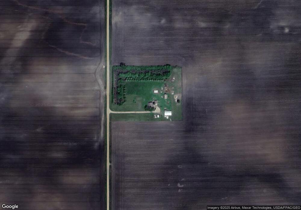
36428 660th Ave Butterfield, MN 56120
Estimated Value: $273,098 - $308,000
4
Beds
1
Bath
2,148
Sq Ft
$135/Sq Ft
Est. Value
About This Home
This home is located at 36428 660th Ave, Butterfield, MN 56120 and is currently estimated at $290,549, approximately $135 per square foot. 36428 660th Ave is a home located in Watonwan County with nearby schools including Butterfield Elementary School.
Ownership History
Date
Name
Owned For
Owner Type
Purchase Details
Closed on
Jun 21, 2024
Sold by
Lenz Paul and Lenz Natalie
Bought by
Morales Jose and Morales Martha
Current Estimated Value
Home Financials for this Owner
Home Financials are based on the most recent Mortgage that was taken out on this home.
Original Mortgage
$205,862
Outstanding Balance
$203,270
Interest Rate
7.09%
Mortgage Type
New Conventional
Estimated Equity
$87,279
Purchase Details
Closed on
Dec 16, 2020
Sold by
Mcmenimen Robert Robert
Bought by
Lenz Paul Paul
Home Financials for this Owner
Home Financials are based on the most recent Mortgage that was taken out on this home.
Original Mortgage
$206,000
Interest Rate
2.71%
Create a Home Valuation Report for This Property
The Home Valuation Report is an in-depth analysis detailing your home's value as well as a comparison with similar homes in the area
Home Values in the Area
Average Home Value in this Area
Purchase History
| Date | Buyer | Sale Price | Title Company |
|---|---|---|---|
| Morales Jose | $205,862 | -- | |
| Lenz Paul Paul | $207,000 | -- |
Source: Public Records
Mortgage History
| Date | Status | Borrower | Loan Amount |
|---|---|---|---|
| Open | Morales Jose | $205,862 | |
| Previous Owner | Lenz Paul Paul | $206,000 |
Source: Public Records
Tax History Compared to Growth
Tax History
| Year | Tax Paid | Tax Assessment Tax Assessment Total Assessment is a certain percentage of the fair market value that is determined by local assessors to be the total taxable value of land and additions on the property. | Land | Improvement |
|---|---|---|---|---|
| 2025 | $3,356 | $282,200 | $94,600 | $187,600 |
| 2024 | $2,870 | $282,200 | $94,600 | $187,600 |
| 2023 | $2,580 | $277,800 | $94,600 | $183,200 |
| 2022 | $1,688 | $230,400 | $94,600 | $135,800 |
| 2021 | $1,370 | $138,400 | $63,600 | $74,800 |
| 2020 | $1,490 | $139,300 | $63,600 | $75,700 |
| 2019 | $1,578 | $139,600 | $63,600 | $76,000 |
| 2018 | $1,528 | $139,600 | $63,600 | $76,000 |
| 2016 | $1,108 | $134,600 | $63,600 | $71,000 |
| 2014 | -- | $103,100 | $41,500 | $61,600 |
Source: Public Records
Map
Nearby Homes
- 525 Elwell Ave
- 0 Tbd S Third St Unit TBD Third St S
- 325 3rd St N
- 69193 380th St
- 35726 710th Ave
- 0 Parcel Id# 05 510 0010 Unit 7037951
- 0 Parcel Id# 05 510 0020 Unit 7037952
- 0 Parcel Id Unit 5.510.0040 7037953
- 0 Parcel Id Unit 5.510.0050 7037954
- 0 Parcel Id Unit 5.510.0060 7037955
- 601 Levee Blvd
- 1013 Westwood Dr
- 200 10th Ave S
- 914 3rd St S
- 207 7th Ave S
- 521 4th St N
- 204 N 2nd St
- 1007 5th St S
- 503 9th Ave S
- 1106 4th Street Ct N