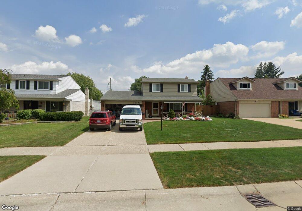
36430 Bagdad Dr Sterling Heights, MI 48312
Estimated Value: $264,483 - $323,000
--
Bed
1
Bath
1,566
Sq Ft
$192/Sq Ft
Est. Value
About This Home
This home is located at 36430 Bagdad Dr, Sterling Heights, MI 48312 and is currently estimated at $300,871, approximately $192 per square foot. 36430 Bagdad Dr is a home located in Macomb County with nearby schools including Bruce Collins Elementary School, Heritage Junior High School, and Davis Junior High School.
Ownership History
Date
Name
Owned For
Owner Type
Purchase Details
Closed on
Apr 25, 2022
Sold by
Viol Donald J and Viol Patricia A
Bought by
Viol Donald J and Viol Donald J
Current Estimated Value
Purchase Details
Closed on
Oct 6, 2015
Sold by
Viol Donald J and Viol Patricia A
Bought by
Viol Donald J and Viol Patricia A
Home Financials for this Owner
Home Financials are based on the most recent Mortgage that was taken out on this home.
Original Mortgage
$112,500
Interest Rate
3.84%
Mortgage Type
New Conventional
Create a Home Valuation Report for This Property
The Home Valuation Report is an in-depth analysis detailing your home's value as well as a comparison with similar homes in the area
Home Values in the Area
Average Home Value in this Area
Purchase History
| Date | Buyer | Sale Price | Title Company |
|---|---|---|---|
| Viol Donald J | -- | None Listed On Document | |
| Viol Donald J | -- | Michigan Investment Title |
Source: Public Records
Mortgage History
| Date | Status | Borrower | Loan Amount |
|---|---|---|---|
| Previous Owner | Viol Donald J | $112,500 |
Source: Public Records
Tax History Compared to Growth
Tax History
| Year | Tax Paid | Tax Assessment Tax Assessment Total Assessment is a certain percentage of the fair market value that is determined by local assessors to be the total taxable value of land and additions on the property. | Land | Improvement |
|---|---|---|---|---|
| 2025 | $3,113 | $134,600 | $0 | $0 |
| 2024 | $2,846 | $127,200 | $0 | $0 |
| 2023 | $2,604 | $112,300 | $0 | $0 |
| 2022 | $2,715 | $100,100 | $0 | $0 |
| 2021 | $2,659 | $96,800 | $0 | $0 |
| 2020 | $2,371 | $93,000 | $0 | $0 |
| 2019 | $2,429 | $90,500 | $0 | $0 |
| 2018 | $2,459 | $85,600 | $0 | $0 |
| 2017 | $2,347 | $80,600 | $15,000 | $65,600 |
| 2016 | $2,268 | $80,600 | $0 | $0 |
| 2015 | -- | $72,000 | $0 | $0 |
| 2014 | -- | $61,900 | $0 | $0 |
Source: Public Records
Map
Nearby Homes
- 36460 Tarpon Dr
- 12245 Canterbury Dr
- 12341 de Grove Dr
- 12376 Canterbury Dr
- 36876 Aaron Ct
- 35695 Bonneville Dr
- 13193 Metro Pkwy
- 36365 Idaho Dr
- 36635 Kenneth Ct
- 12312 Cabot Dr
- 12851 Grand Haven Dr
- 12227 Polara Dr
- 35622 Malibu Dr
- 12284 Polara Dr
- 37122 Clubhouse Dr
- 37122 Clubhouse Dr Unit 88
- 36815 Myra Ct
- 37313 Clubhouse Dr
- 37611 Badger Dr
- 35827 Rainbow Dr
- 36416 Bagdad Dr
- 36444 Bagdad Dr
- 36431 Samoa Dr
- 36402 Bagdad Dr
- 36458 Bagdad Dr
- 36417 Samoa Dr
- 36445 Samoa Dr
- 36403 Samoa Dr
- 36459 Samoa Dr
- 36354 Bagdad Dr
- 36433 Bagdad Dr
- 36419 Bagdad Dr
- 36447 Bagdad Dr
- 36355 Samoa Dr
- 36509 Samoa Dr
- 36461 Bagdad Dr
- 36359 Bagdad Dr
- 36522 Bagdad Dr
- 36341 Samoa Dr
- 36523 Samoa Dr