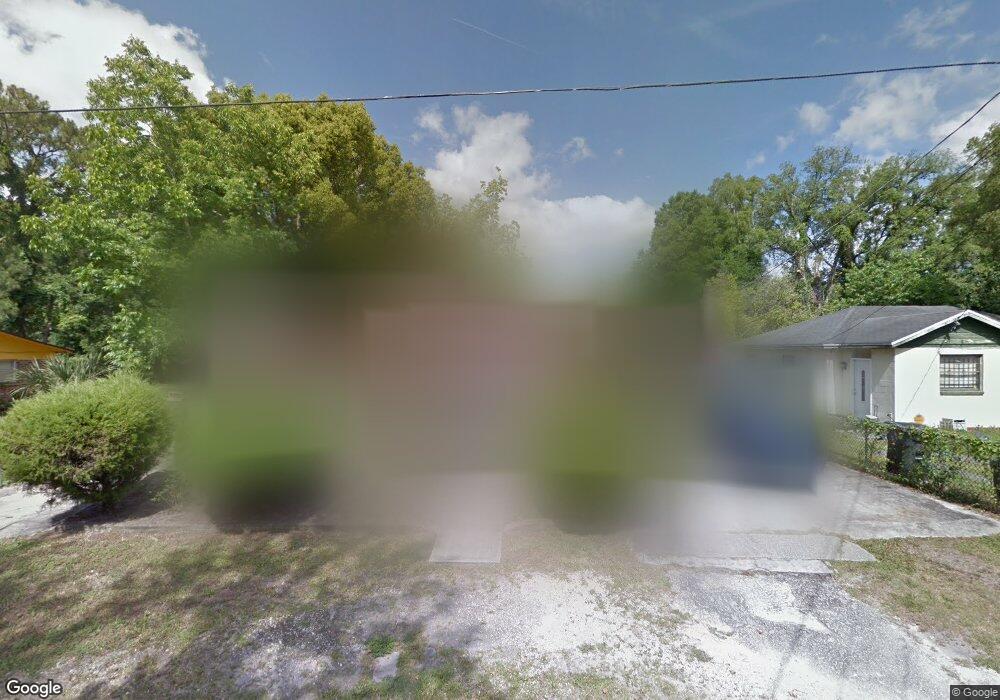
3644 Basil Rd Jacksonville, FL 32207
San Marco NeighborhoodEstimated Value: $208,000 - $258,000
2
Beds
1
Bath
2,095
Sq Ft
$114/Sq Ft
Est. Value
About This Home
This home is located at 3644 Basil Rd, Jacksonville, FL 32207 and is currently estimated at $238,109, approximately $113 per square foot. 3644 Basil Rd is a home located in Duval County with nearby schools including San Jose Elementary School, Alfred I. Dupont Middle School, and Terry Parker High School.
Ownership History
Date
Name
Owned For
Owner Type
Purchase Details
Closed on
Jan 17, 2018
Sold by
Adams Darrell
Bought by
Ford Elaine
Current Estimated Value
Purchase Details
Closed on
Aug 9, 2017
Sold by
Adams Larry E
Bought by
Ford Elaine C
Purchase Details
Closed on
May 12, 2016
Sold by
Ford Elaine Adams and Adams Larry
Bought by
Ford Elaine Adams and Adams Larry
Purchase Details
Closed on
Mar 1, 2016
Bought by
Ford Elaine Adams
Purchase Details
Closed on
Jun 22, 2010
Sold by
Adams George E and Adams Rogenia E
Bought by
Adams George E and Adams Rogenia E
Create a Home Valuation Report for This Property
The Home Valuation Report is an in-depth analysis detailing your home's value as well as a comparison with similar homes in the area
Home Values in the Area
Average Home Value in this Area
Purchase History
| Date | Buyer | Sale Price | Title Company |
|---|---|---|---|
| Ford Elaine | -- | None Available | |
| Ford Elaine C | $79,000 | None Available | |
| Ford Elaine Adams | -- | Attorney | |
| Ford Elaine Adams | $100 | -- | |
| Adams George E | $44,000 | Attorney |
Source: Public Records
Tax History
| Year | Tax Paid | Tax Assessment Tax Assessment Total Assessment is a certain percentage of the fair market value that is determined by local assessors to be the total taxable value of land and additions on the property. | Land | Improvement |
|---|---|---|---|---|
| 2026 | $1,896 | $126,755 | -- | -- |
| 2025 | $1,678 | $126,755 | -- | -- |
| 2024 | $1,622 | $123,183 | -- | -- |
| 2023 | $1,622 | $119,596 | $0 | $0 |
| 2022 | $1,475 | $116,113 | $0 | $0 |
| 2021 | $1,284 | $102,993 | $32,010 | $70,983 |
| 2020 | $1,437 | $111,176 | $0 | $0 |
| 2019 | $1,414 | $108,677 | $0 | $0 |
| 2018 | $0 | $103,749 | $0 | $0 |
| 2017 | $1,474 | $97,316 | $0 | $0 |
| 2016 | $2,005 | $96,585 | $0 | $0 |
| 2015 | $774 | $62,633 | $0 | $0 |
| 2014 | $778 | $62,136 | $0 | $0 |
Source: Public Records
Map
Nearby Homes
- 3421 Inwood Cir E
- 3812 Freeman Rd
- 2010 Sheridan Ln
- 2107 Ashland St
- 0 Winfrey St
- 2149 Inwood Terrace
- 3910 Grant Rd
- 1740 Parkwood St
- 2032 Inwood Terrace
- 1736 Lakewood Rd
- 2043 Dunsford Terrace Unit 17
- 2119 Wright Ave
- 2045 Wright Ave
- 2005 Dunsford Terrace
- 1639 Lakewood Rd
- 1635 Davidson St
- 1602 Felch Ave
- 3609 Mimosa Dr
- 3308 Sheridan Rd
- 4225 Mc Arthur St
Your Personal Tour Guide
Ask me questions while you tour the home.